
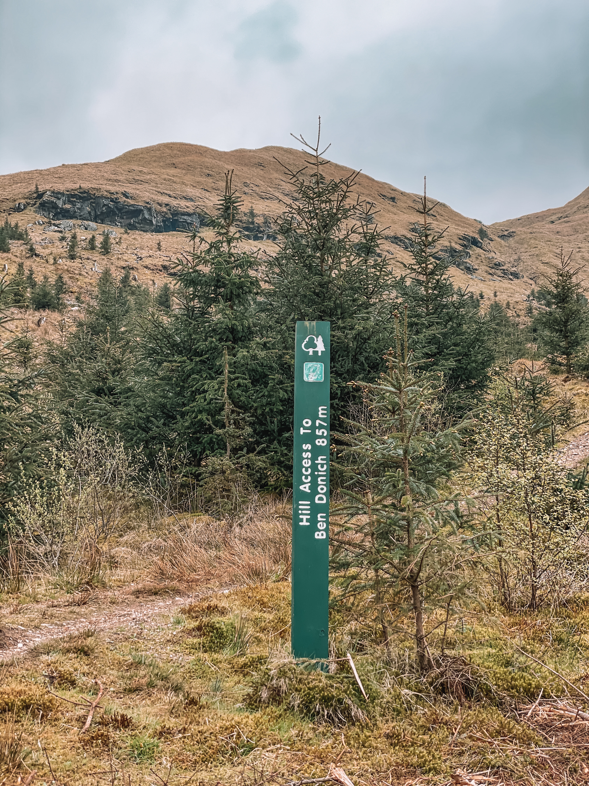
Ben Donich is a lovely Corbett to climb. It sits at 846 metres (2775.59 feet) above sea level. However, the signpost at the start of the route says 857 metres (2811.68 feet). So I’m a bit confused about which height is right?
The great thing about this walk, you don’t need to climb the full height as the walk starts at around 298 metres, at the top of the Rest and Be Thankful pass.
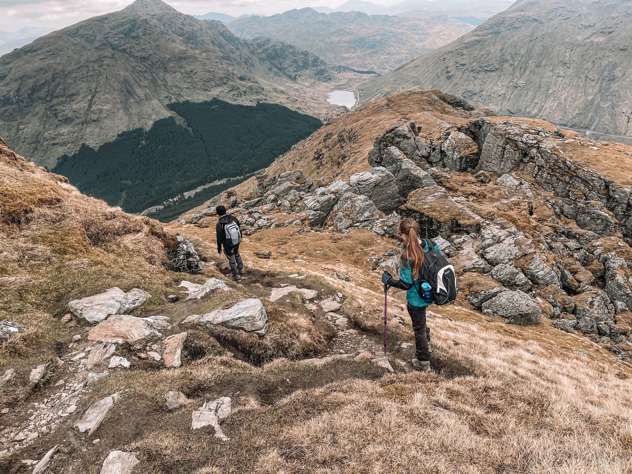
The climb isn’t difficult and there is a well-marked path to the summit. However, correct mountain gear is a must and some experience in the mountains is a good idea. You are high up and the weather can change all of a sudden. One minute you could be walking in sunshine, the next you could be in thick clouds, unable to see a thing in front of you. A tiny bit of scrambling is also required on one very small section.
The route I did, leads you up and down the mountain in the same way. It is just over 5.5 miles long. But remember to allow yourself more time than you would to walk 5.5 miles on the flat. It took us around 4 hours to walk, including lunch, rest, and photo stops.
Location
Ben Donich is located at the top of the Rest and Be Thankful pass in the Arrochar Alps, Loch Lomond and Trossachs National Park. Just 50 miles north of Glasgow.
Parking
The walk starts and finishes in a small car park, just off the B828, 0.4 miles away from the Rest and Be Thankful pass viewpoint.
The Route
Follow this map, as you walk the route, you shouldn’t get lost! Make sure your location is turned on and you should be able to see exactly where you are, on this map. Or if you prefer, download the GPX file and use it on your choice of route tracker.
1.
Starting at the small carpark, follow the track towards the woodland area, leading you away from the B828. Follow the the track as it bends round to your right-hand side. Shortly after the bend, you should see a footpath sign leading up the mountain, on your left-hand side, marked Ben Donich.

2.
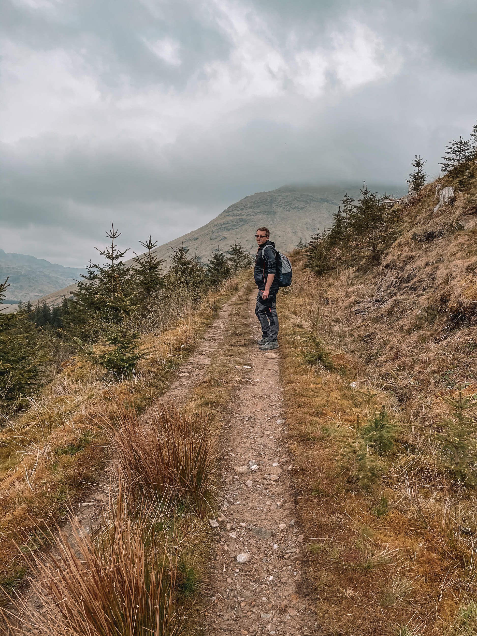
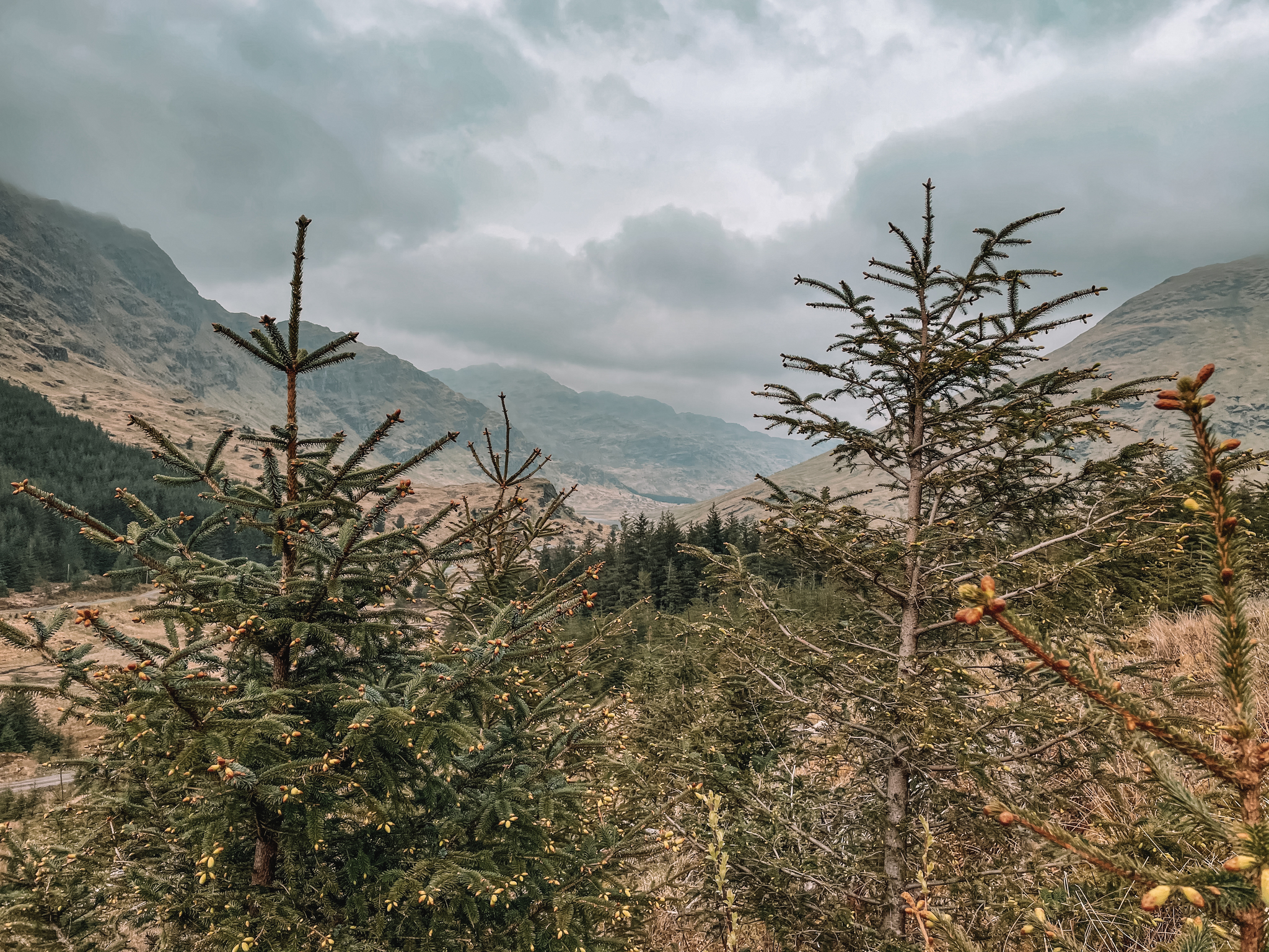
Take the footpath up along the end of the tree line, through a gate, and up the side of the mountain.

3.
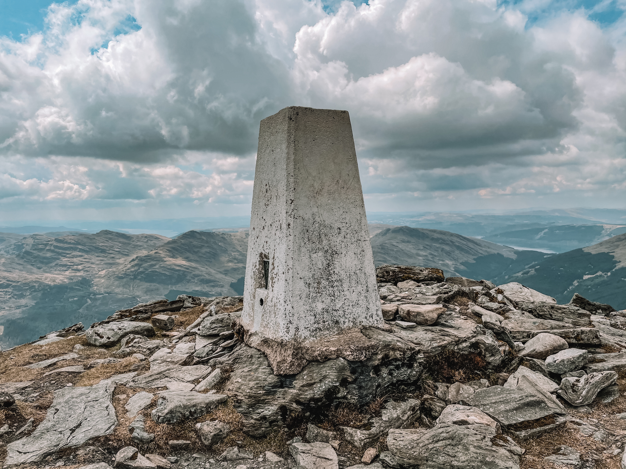
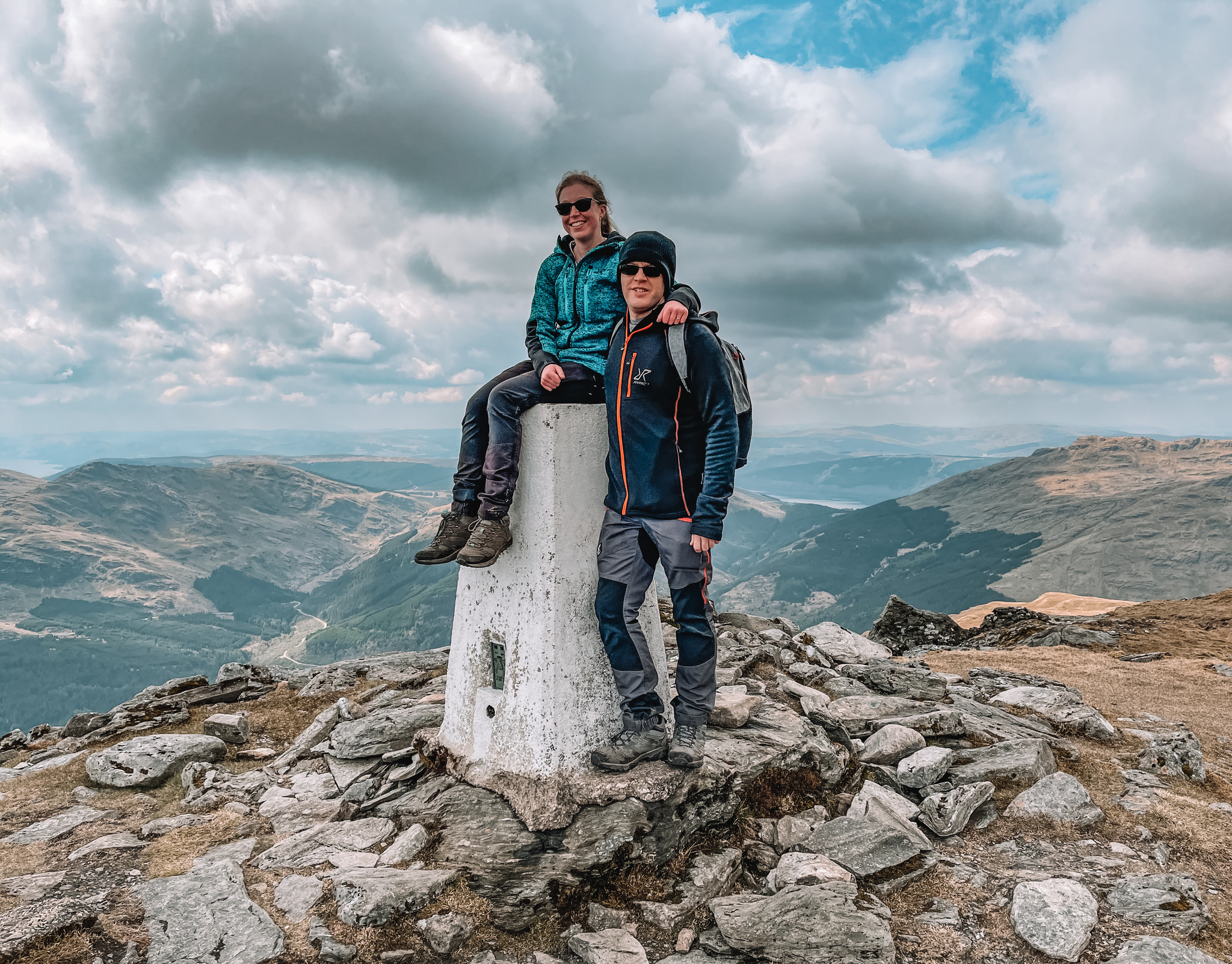
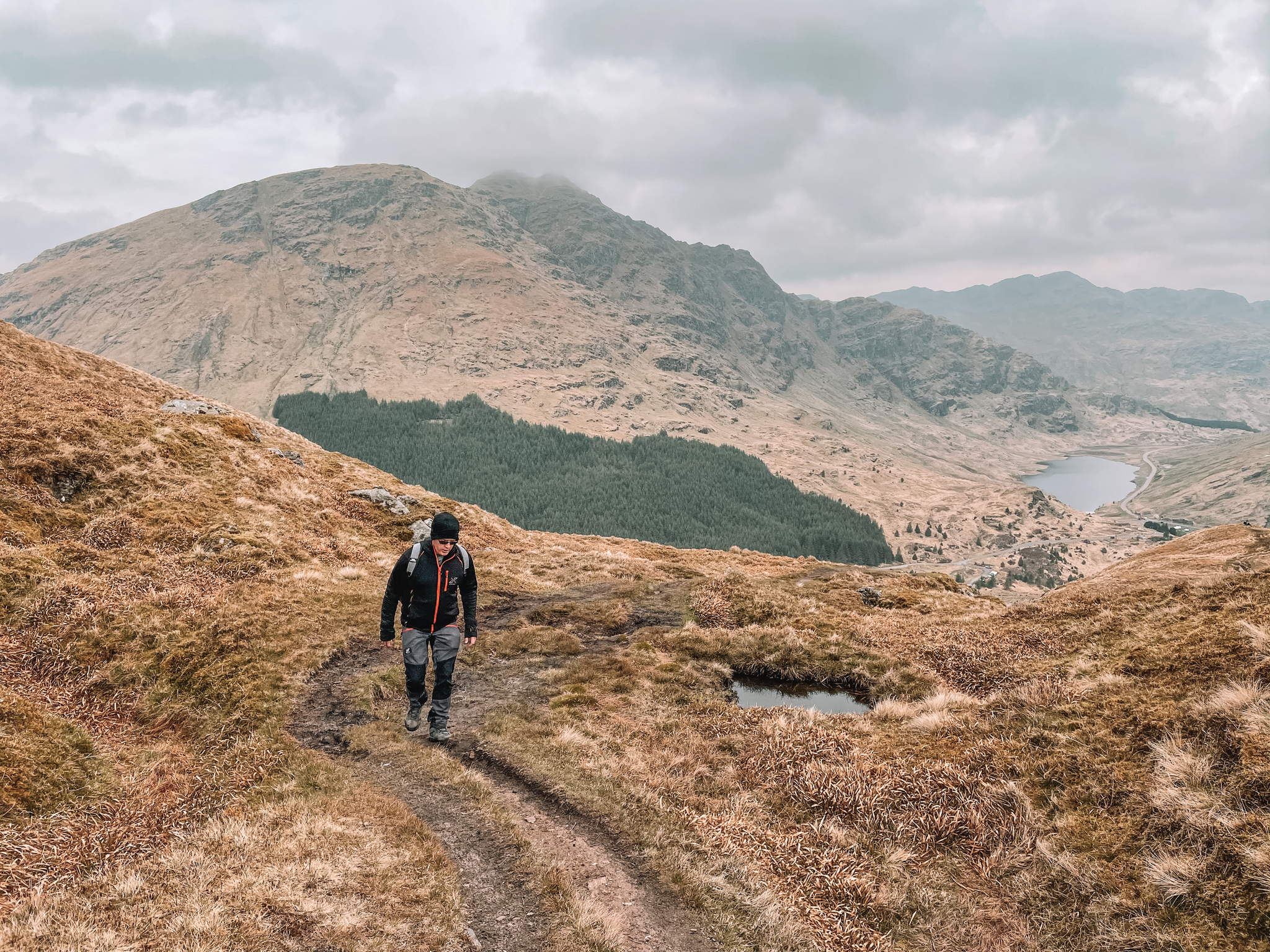
Keep following the footpath, as you climb up towards the summit. As you get towards the summit, there’s a very small section of scrambling. You will know once you’ve reached the summit, as there is a trig marker, marking the summit.
4.
Return down along the same footpath you have climbed up to the summit on.


If you have enjoyed this walk, please check out some of my other walking guides I have to offer:
For more information on the Loch Lomond and Trossachs National Park, please check out their website:


