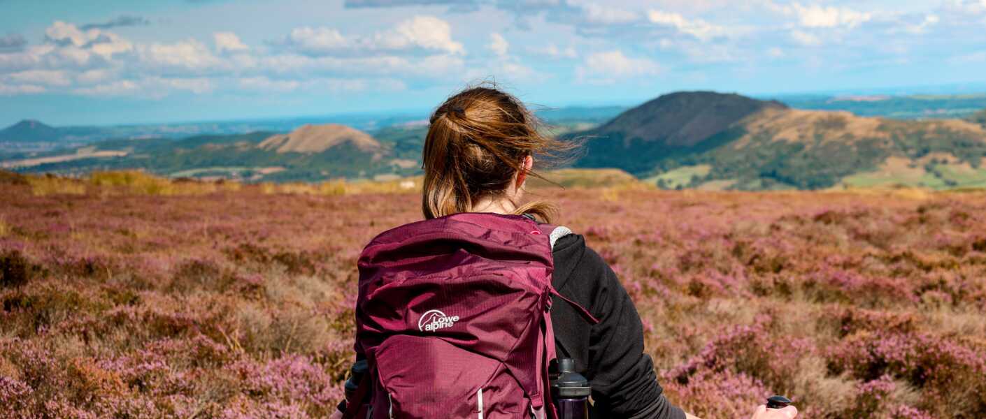
The Shropshire Hills National Landscape is such a beautiful part of England. An Area of Outstanding Beauty, making it a place to add to your list, if you haven’t been already!
The one thing I love about the Shropshire Hills, there are many trails to choose from. Trails that are not too challenging, yet provide views for miles and miles. And if you love trig bagging, this place is not short of them!
If you are coming to the Shropshire Hills and you only have time to do one walk, this is the walk to do! Or if it’s your first time there, and you want a real taster of what the area has to offer, this is the walk to do!
Distance
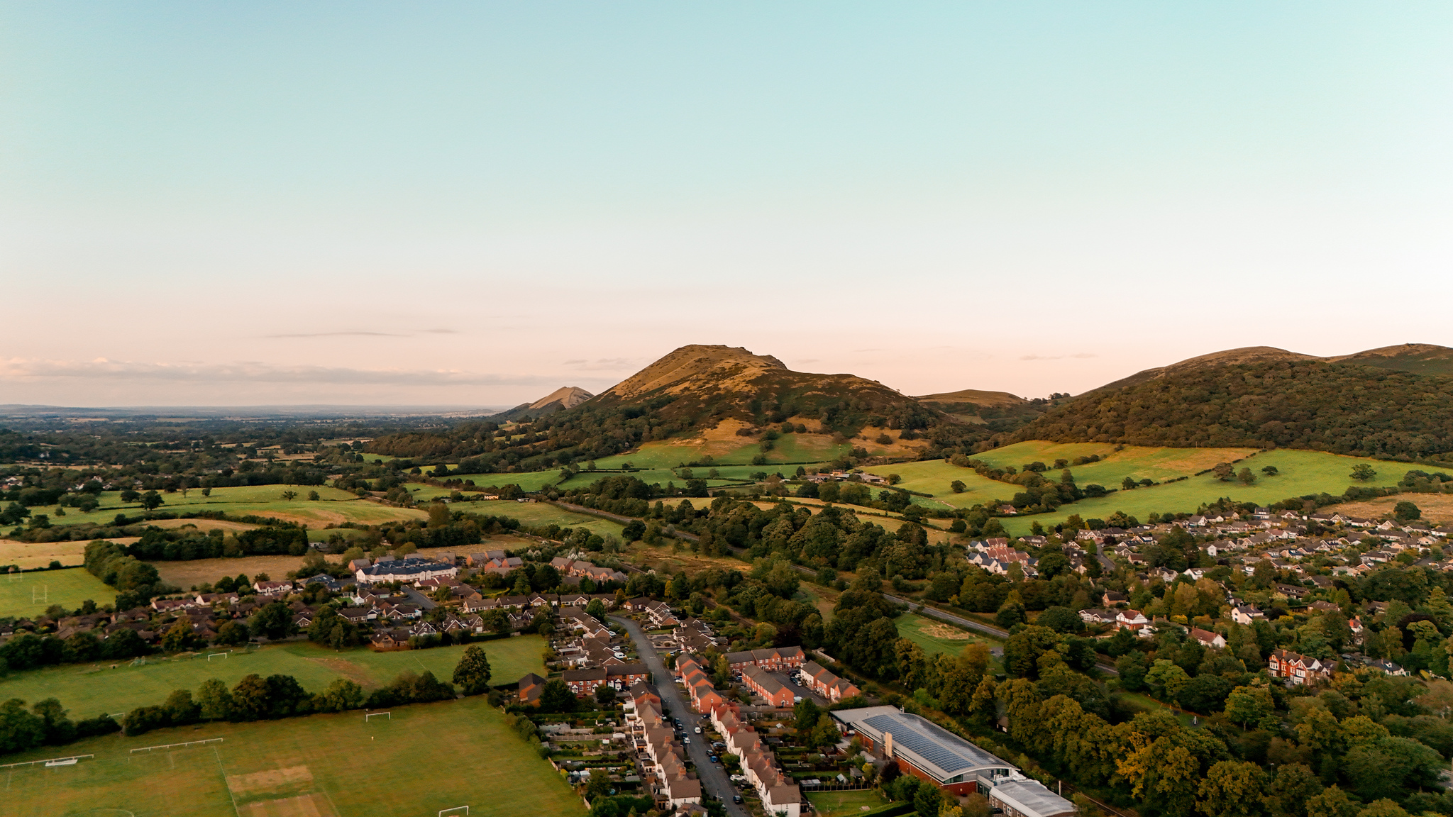
The trail is 7.5 miles (12 km) long. It’s not a strenuous walk. However, you do climb up to the summit of Pole Bank, 516 metres (1700 feet) high, the highest point on Long Mynd.
If the distance is too long, you can make it shorter. We started the walk in the Historical Market Town of Church Stretton. However, you can drive up to the National Trust Car Park, which will make the route 1.5 miles (2.5 km) shorter. If you choose to park at the National Trust Car Park, a slight adaptation to my route will be needed. I will explain more in my step-by-step instructions.
Location
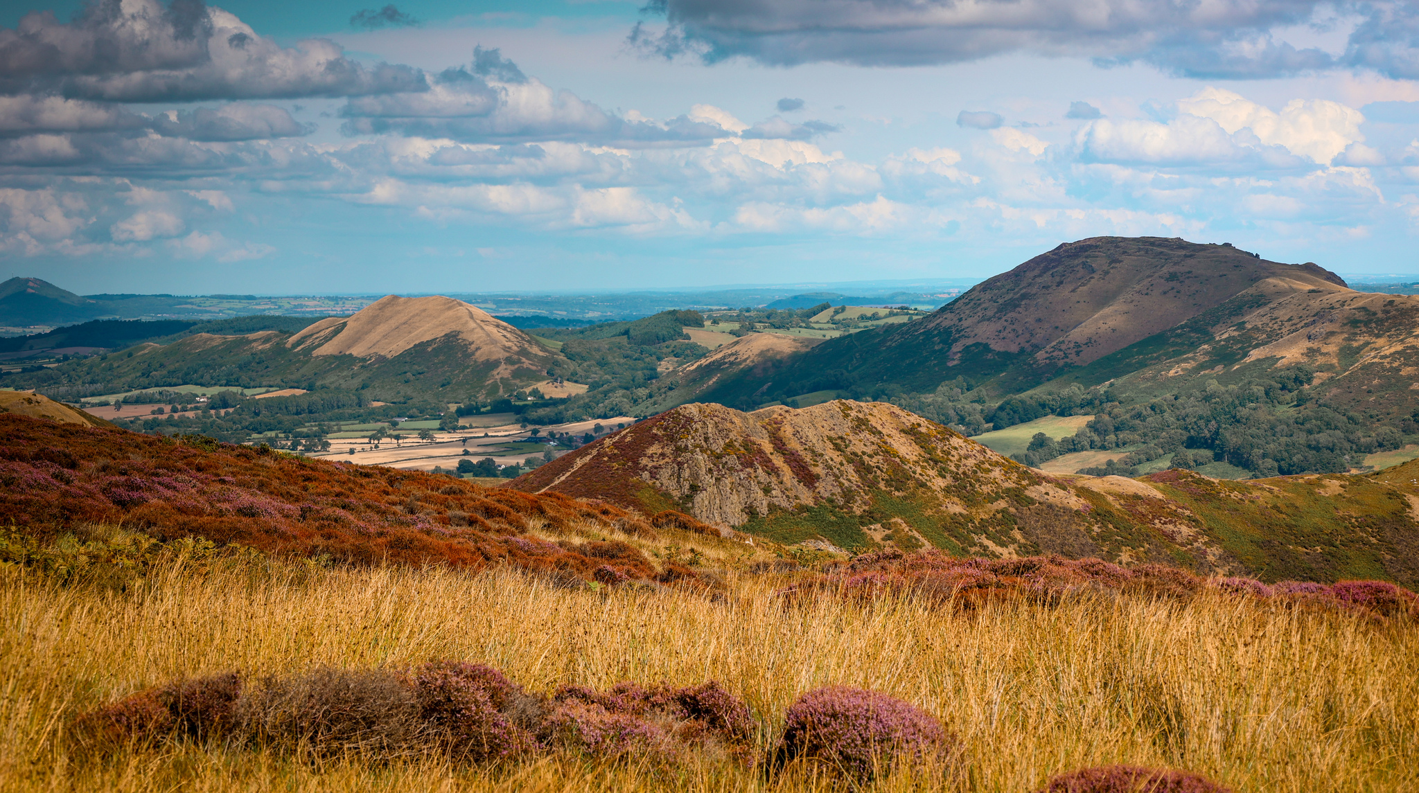
Long Mynd is a 10-mile-long moorland plateau, which makes up a big section of the Shropshire Hills National Landscape. The Historical Market Town of Church Stretton, sits at the bottom of the plateau, making a great base of walks along Long Mynd.
Parking
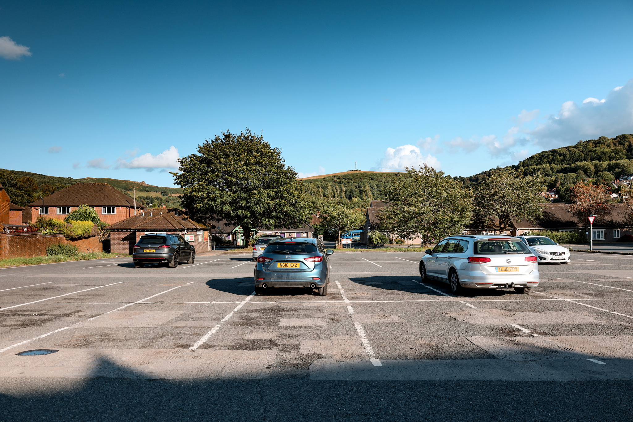
This route starts in the Shropshire Council Car Park, next to the Co-op, in Church Stretton. The car park has some longer parking bays for campervans and motorhomes.
Please be aware, there is a small fee to park in the car park, Monday to Saturday.
SatNav address: Easthope Road 2 Car Park, Church Stretton, SY6 6BQ
If you are walking the shorter route, you can park in the Carding Mill Valley National Trust Car Park for a fee.
SatNav address: Carding Mill Valley, Church Stretton SY6 6JG
The Route
Follow this map, as you walk the route, and you shouldn’t get lost! Make sure your location is turned on and you should be able to see exactly where you are, on this map. Or if you prefer, download the GPX file and use it on your choice of route tracker.
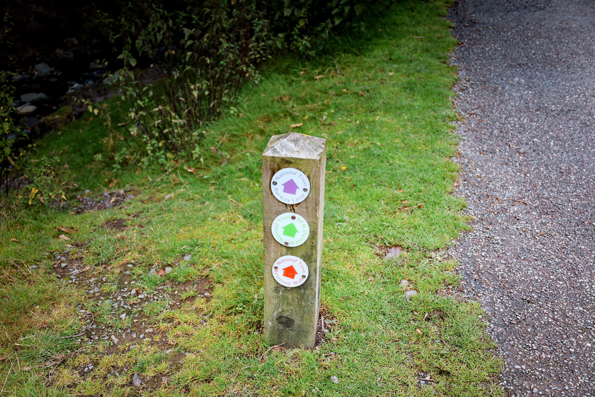
Part of the route follows a route marked out with pink-coloured post, marked out by the National Trust.
Walk the route anti-clockwise!
If you are walking the shorter version of the route, start from number 5 of the step-by-step instructions.
1.
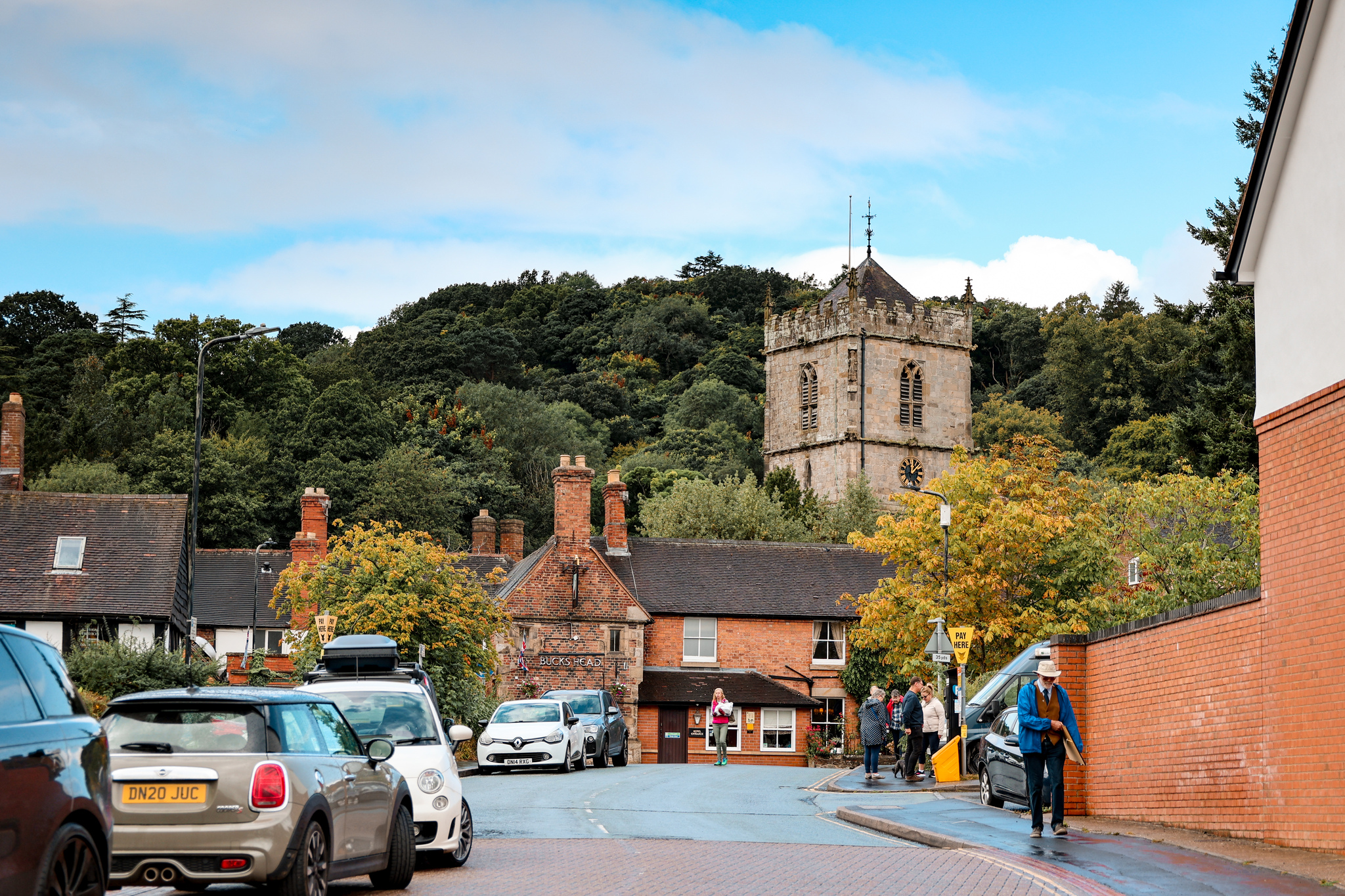
Starting in the Easthope Road 2 Car Park, in the town of Church Stretton. Head towards your right-hand side out of the car park, and walk towards the church in Church Stretton, passing the Co-op on your left-hand side.
2.
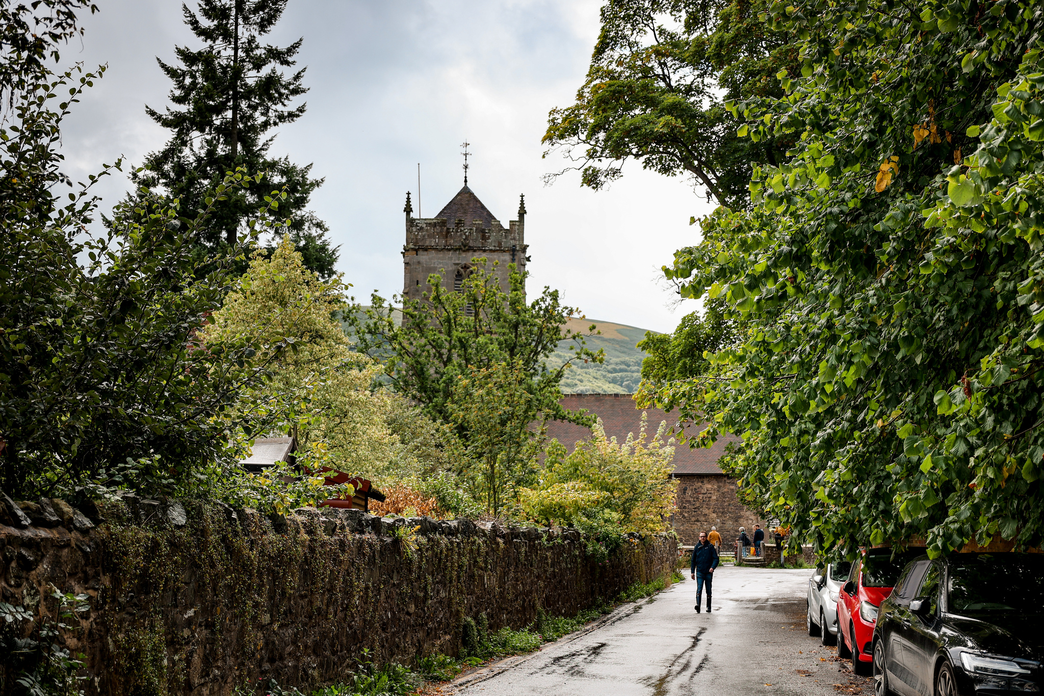
At the bottom of the road, turn towards your right-hand side and follow the road for a very short distance. Very shortly, you should see a little street going off to your left-hand side. Take the street, passing by the side of the church on your left-hand side. Follow the road as it curves around.

3.
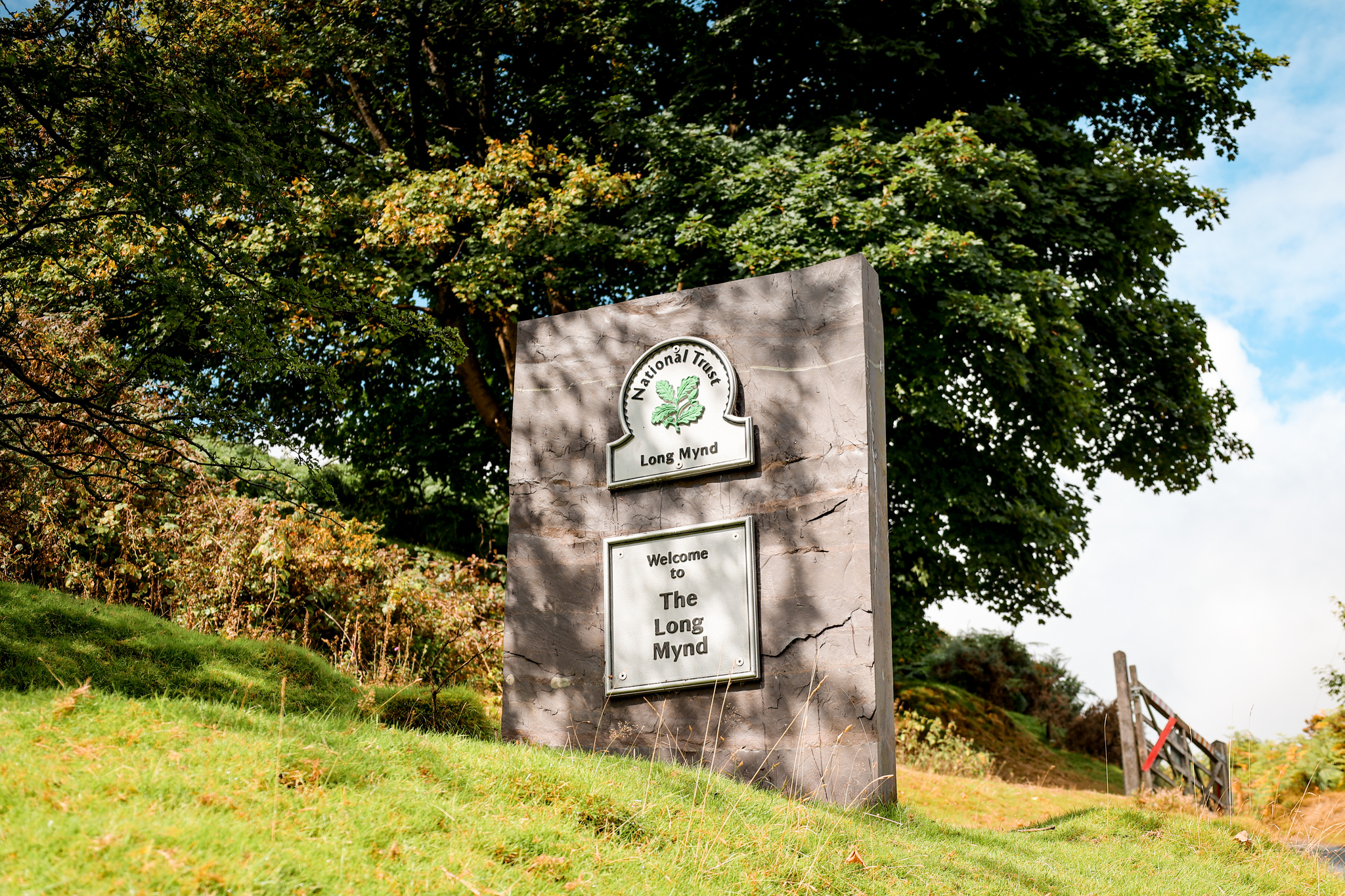
Shortly, the road will fork off to your left-hand side, leading up the hillside. Take the road up the hillside, until you reach a cattle grid. Head over the cattle grid, here you should see a stone sign, marking the start of Long Mynd.
4.
Take the path going off to your right-hand side. Follow the path as it leads you along Carding Mill Valley, to the visitor center.

5.
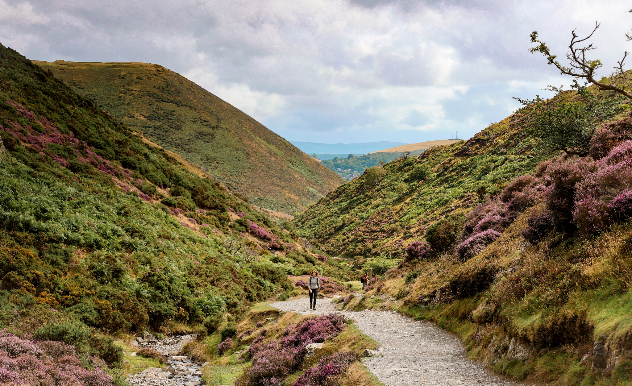
From the visitor centre, continue travelling in the same direction, up the Carding Mill Valley, following the pink arrows, making the trail.
If you are doing the shorter version, here is where you would start your walk.
6.
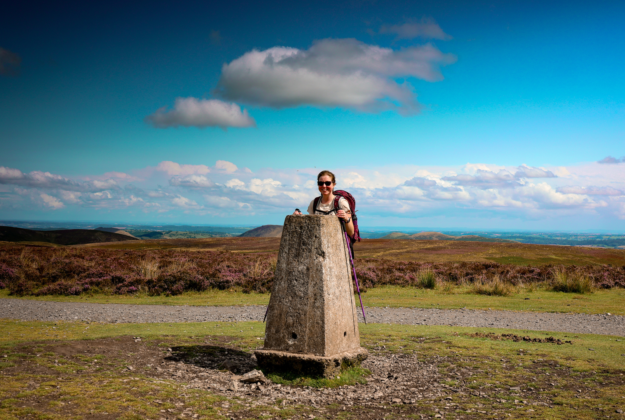
Follow the trail as it slowly ascents up the valley, and to the summit of Pole Bank. The route to the summit is all marked with pink markers. If you are unsure at any point, please take a look at the map.

7.
Once you’ve finished enjoying the views at the summit, turn back on yourself. Follow the path back down for a short distance. You should see a path going off to your right-hand side, again labelled with the pink marker.

8.
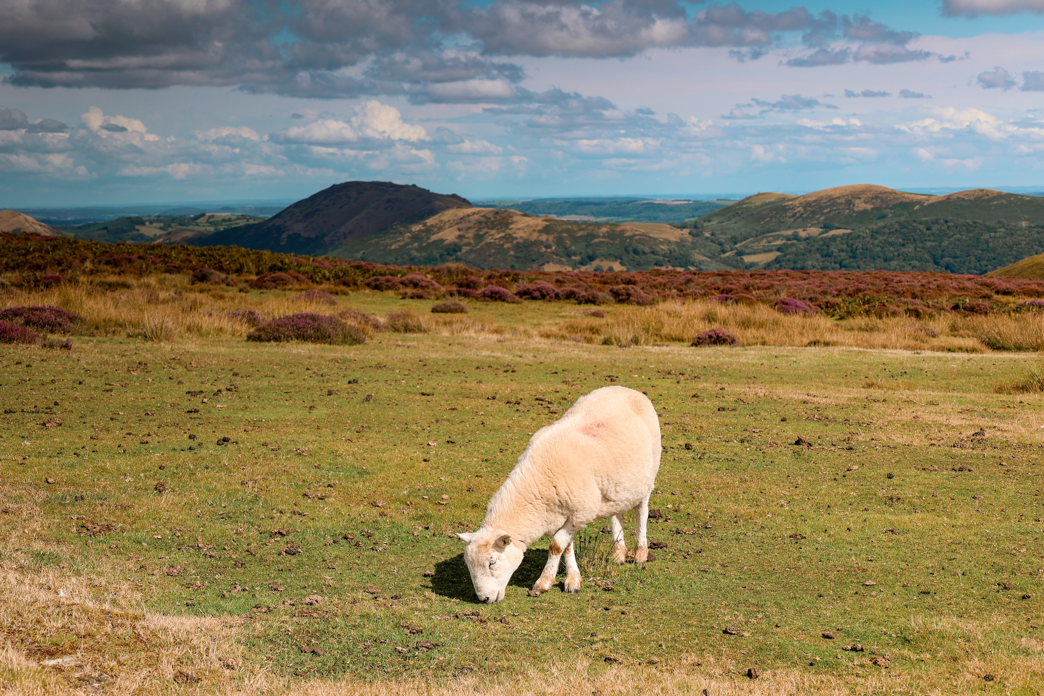
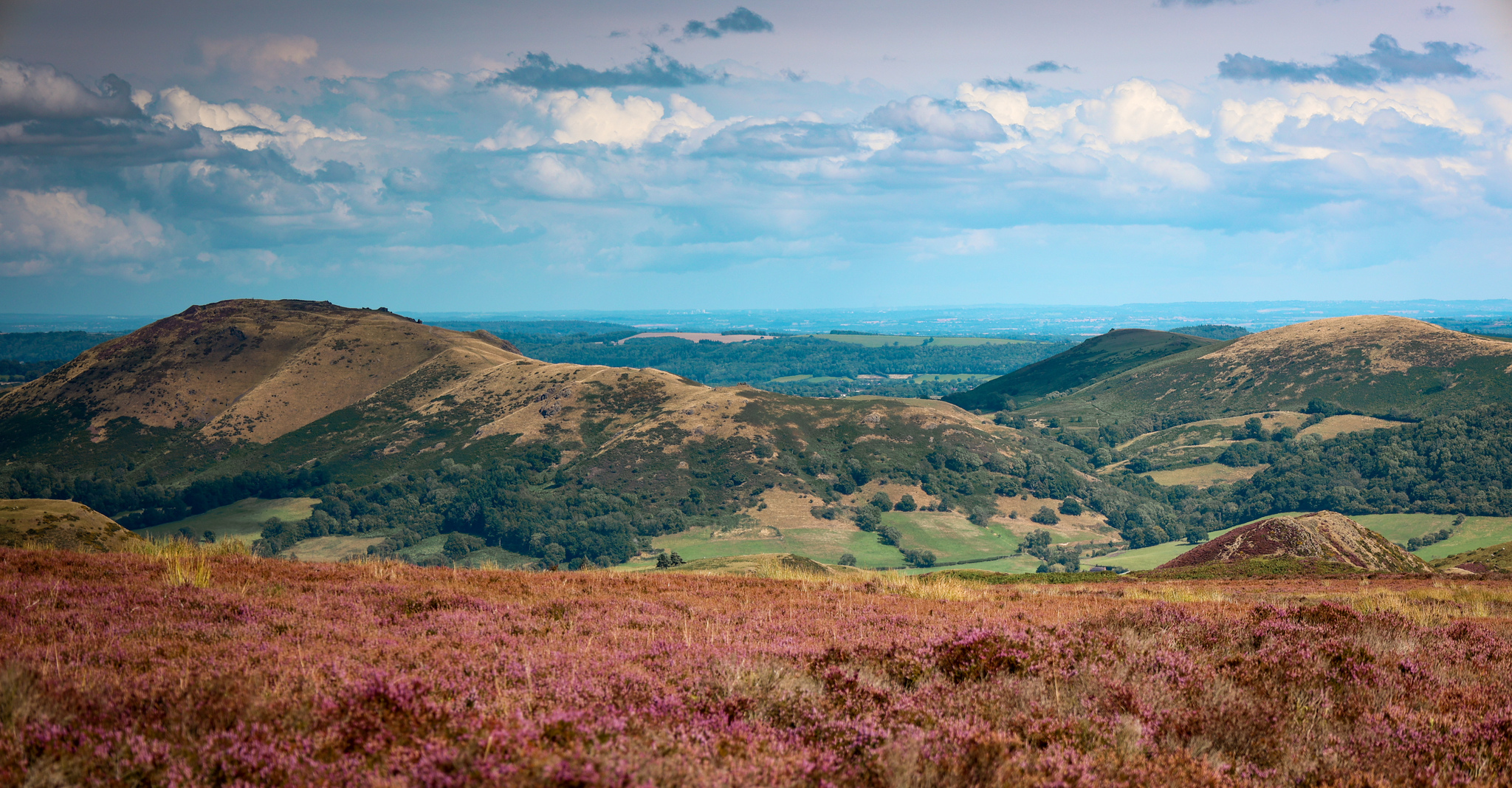
Take the path going off to your right-hand side and follow it along the tops of Long Mynd, keeping an eye for the pink markers.

9.
After a while, you should see a path going off to your right-hand side, labelled again with the pink marker. Take the path, and follow it as it leads you down through the valley.


10.
As you reach the bottom of the valley, you will arrive at a three-way path junction. Take the path heading forward, through the gates, and into the woodland. You are now no longer following the pink markers.
If you are walking the shorter version of the trail, take the path going off to your left-hand side, and follow the pink markers back to where you started the route from. If you are unsure at all, please look at the map!
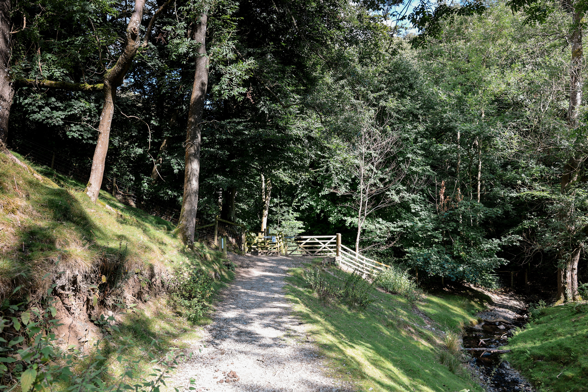
11.
Very shortly after passing through the gate, you should see a little footbridge going off to your right-hand side. Head across the footbridge, and climb the steps up the hillside.
12.
At the top of the steps, continue to follow the path until you reach another path junction. Hear take the path going off to your right-hand side, leading you to a gate.

13.
Head through the gate, and follow the path down to another gate. Head through the gate into a car park.
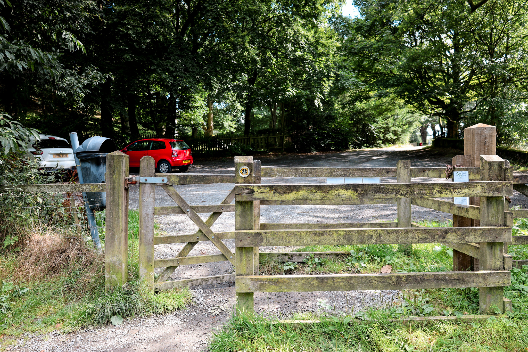
14.
Turn towards your left-hand side onto the road, and follow the road down into the town of Church Stretton. Eventually, you will reach a road junction, with a Tudor house at the bottom.
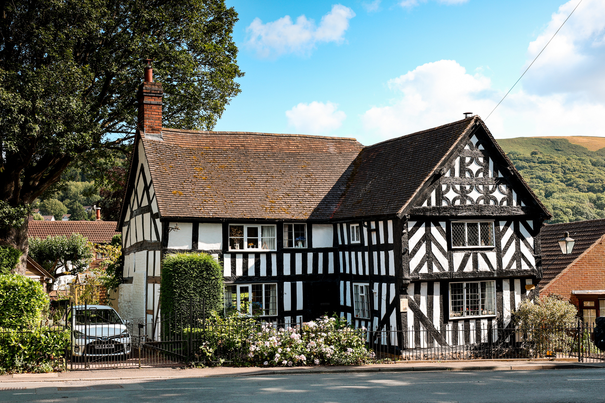
15.
At the Tuder house, turn to your left-hand side, and make your way through the town centre. Shortly, you will see a road going off to your right-hand side. Take the road as it leads you back to where you started the route.

If you would like to be notified when any new travel guides goes live, straight to your inbox, please subscribe here:
(don’t forget to check your junkbox for the confirmation e-mail!)
Further Reading
Enjoyed this walk? Why not check out: Long Mynd Reservoir


