
Looking for a good walk to do in the Peak District National Park? Love getting up high above the valleys? Love walking along mountain ridges? Then this is a walk for you! The 7.79-mile circular starts and finishes in Castleton, taking you up above Hope Valley, along 4 different peaks, including the famous Mother Hill, Mam Tor, climbing up to a height of 517 metres (1696 feet), above sea level.
There are plenty of different routes, which you can do up Mam Tor. You can make the route as long or as short as you want, depending on how many peaks you want to venture over, the location you decide to park your car and if you’re making the route a circler or a line walk. Do not expect the walking route to be free from crowds. Climbing Mam Tor is one of the most popular hikes that you can do in the National Park. After been up there myself this June, I can see exactly why! The crowds do die down a little if you plan on heading along the ridge. Most day hikers, hike up to the summit of Mam Tor and back down again.
The route I am going to share with you will take you around 4 hours 30 minutes to complete, including stops for lunch, snacks, and photos. It is about 7.79 miles in the length and takes you over 4 peaks: Mam Tor, 517 metres (1696 feet), Hollins Cross, 390 metres (1280 feet), Black Tor, 437 metres (1436 feet) and Lose Hill, 481 metres (1578 feet). The walk starts and finishes in the village, Castleton, in Hope Valley.
Parking
There is a lot of space for parking your car. I was worried we would have trouble finding somewhere to park, as we didn’t arrive till late morning. However, I was wrong, there was plenty of spaces. But we did visit on a Wednesday. I am guessing weekends, it might be a little busier. There are pay and display car parks or free on the roadside parking. It was no brainer to choose to park on the roadside. Why pay when you can get something for free?!
My advice is to try and get parked on the roadside, as soon as you come into Castleton. You can park on the road leading up to Mam Tor too, called Mam Tor Road (no surprise in the name). This road leads out of the other side of Castleton, after driving past the Visitor Centre. However, by parking along this road, it means you will have more road walking to do at the end of the route when you are feeling tired and it is all slightly uphill! I prefer to get that part done at the beginning of the walk.
Postcode for Castleton Visitor Centre: S33 8WN
The photo shows, where we decided to park our car, for the walk:

The Route
Follow this map, as you walk the route, you shouldn’t get lost! Make sure your location is turned on and you should be able to see exactly where you are, on this map. Or if you prefer, download the GPX file and use it on your choice of route tracker.
1.
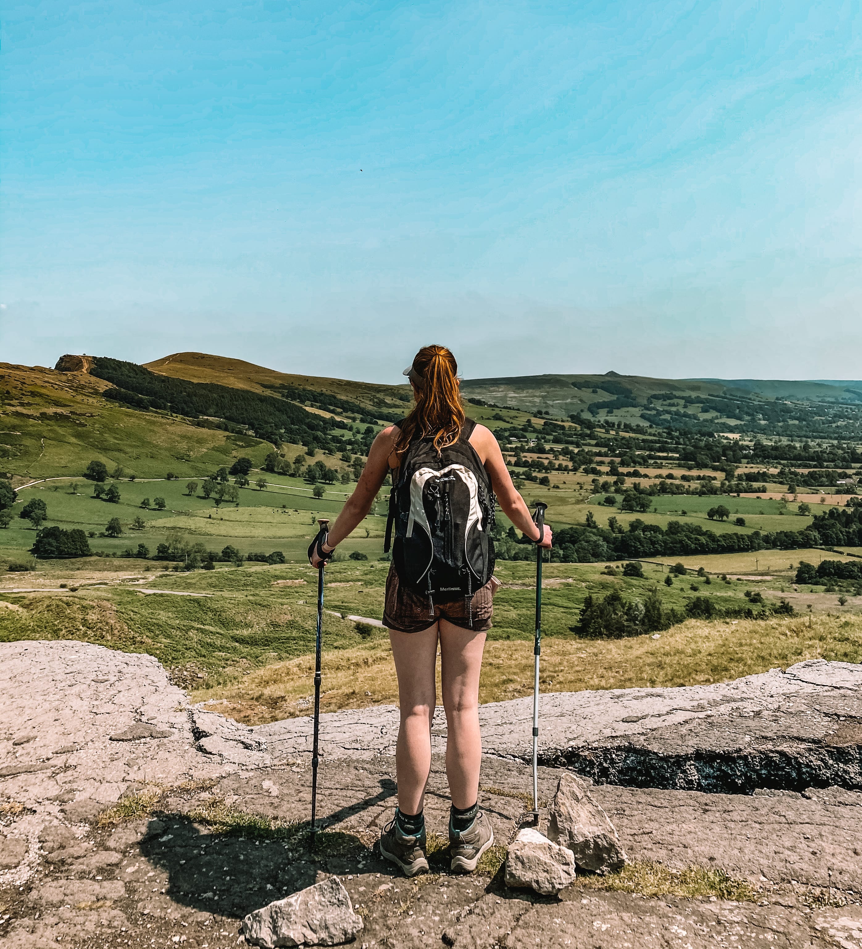
Starting in Castleton, walk through the village, passing the visitor centre on your right-hand side and on to Man Tor Road. Follow the road up the hill, passing the Odin Mine and through a gate. Here, on your left-hand side, you should see a National Trust sign, making Mam Tor. Carry on following the road up the hillside, to you reach a car park.


2.
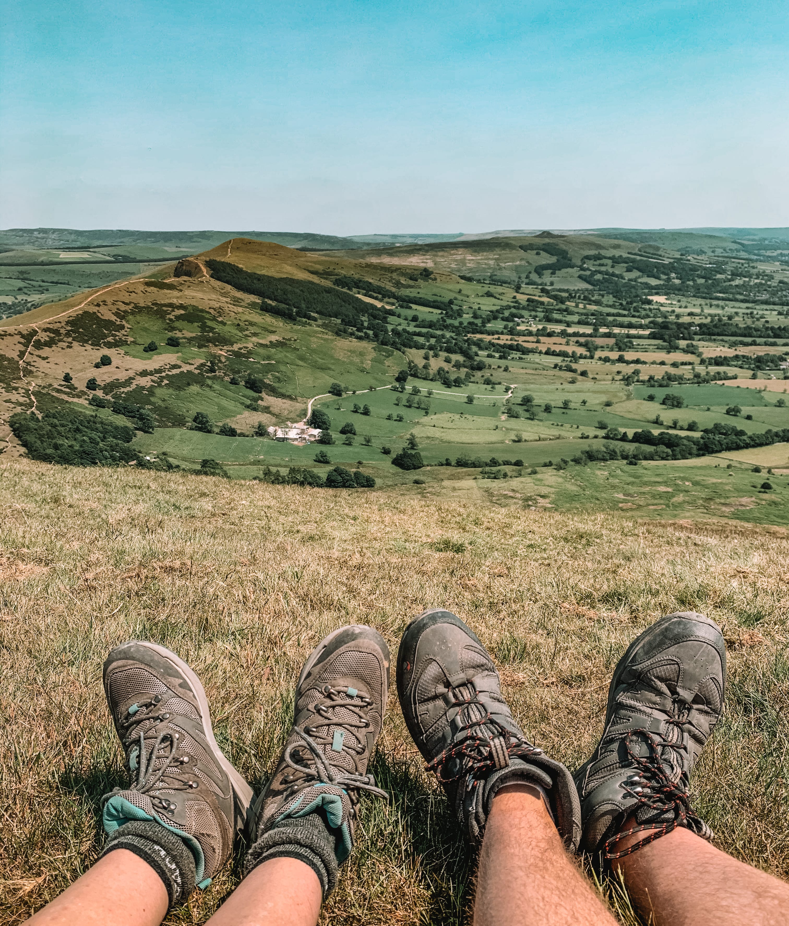
Walkthrough the car park, along the road, until you see a gate on your right-hand side. Take the path up the hillside, to another car park. Here, you will pass through another gate. Follow the path up to the summit of Mam Tor. You may find it quite busy with people along here, as quite a lot of people park in this car park, for a short walk up to the summit.




3.
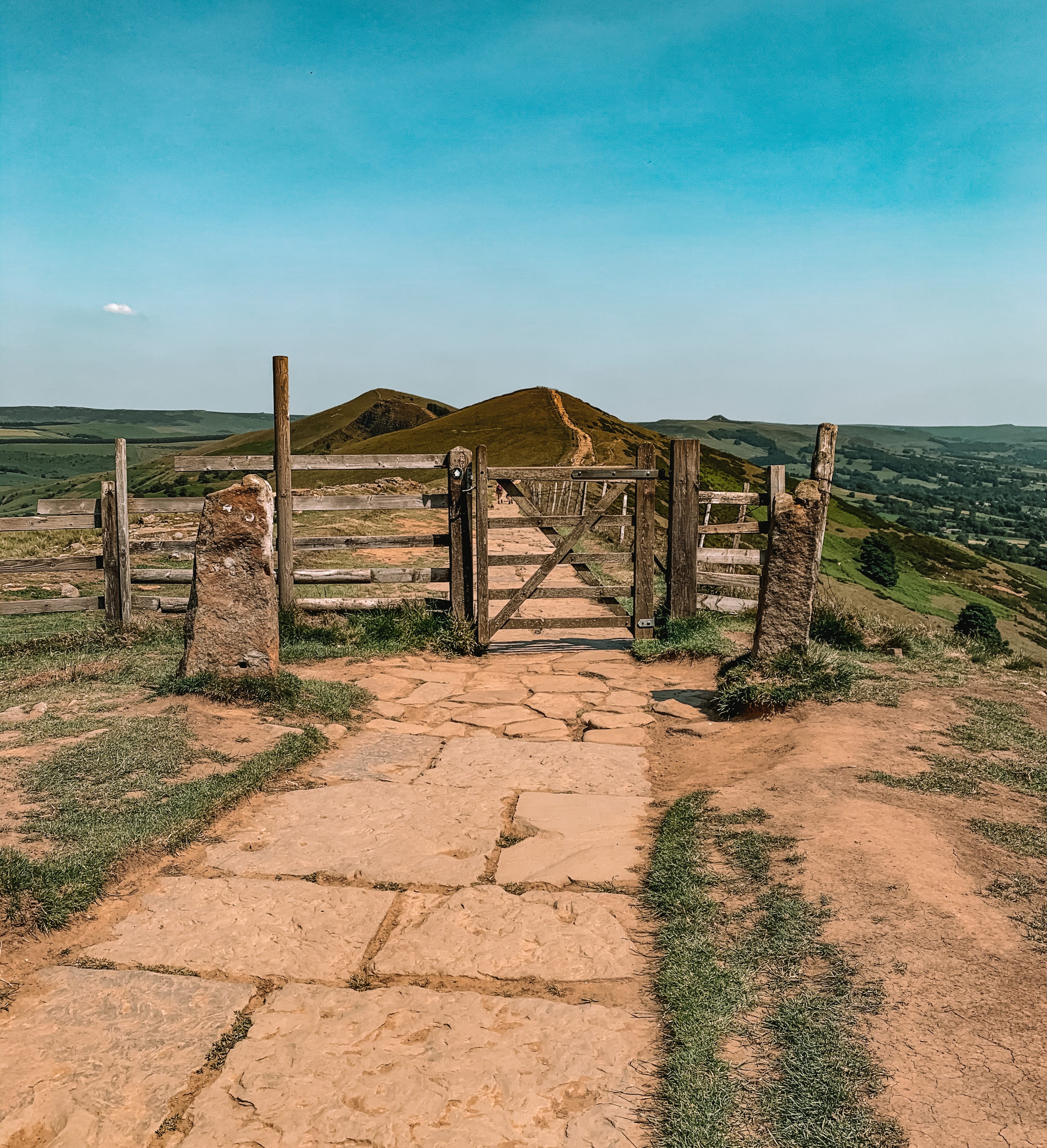
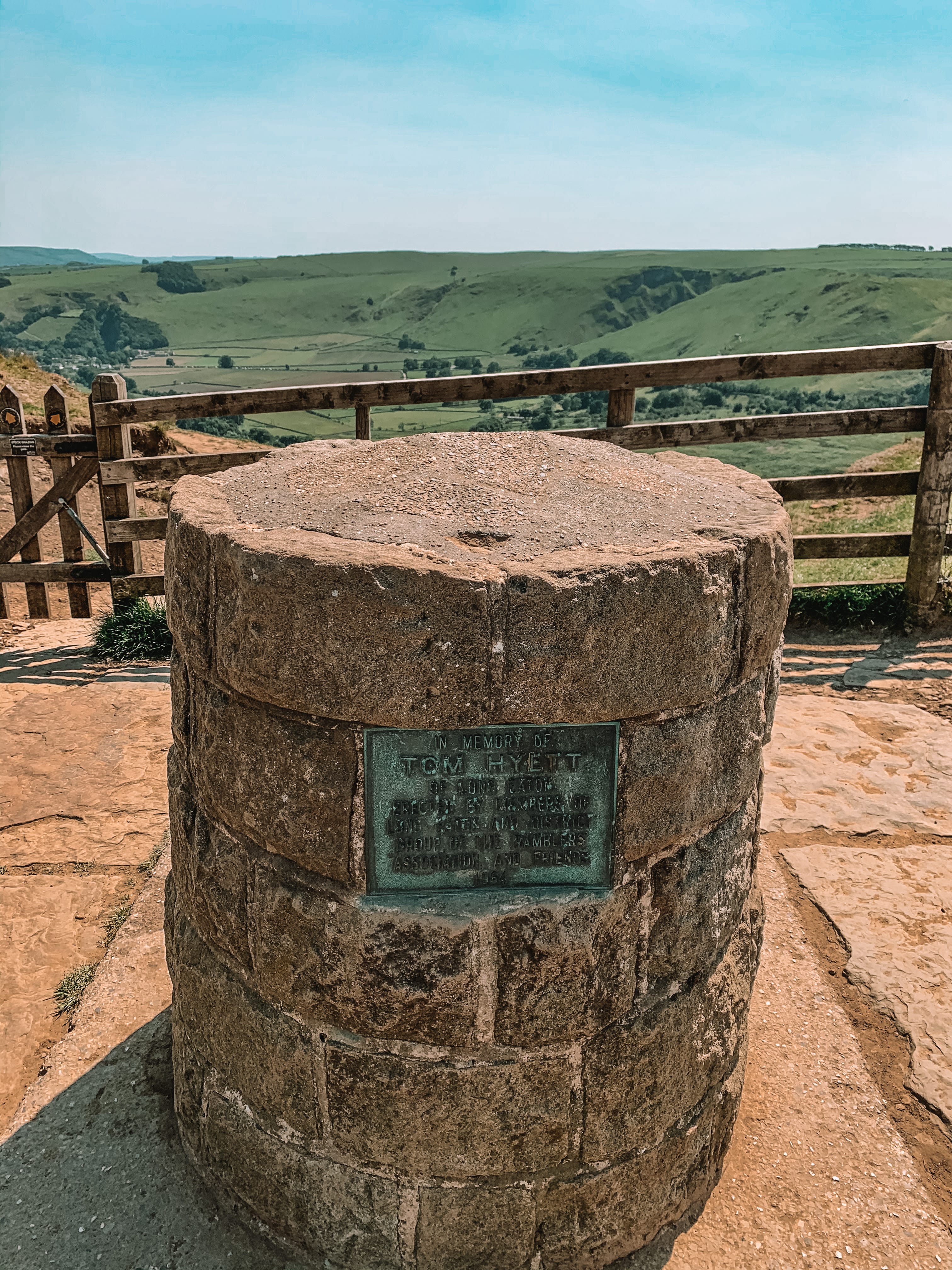
At the summit, follow the path, traveling in the same direction. This path should lead you onto the ridge, of the Shivering Mountains. Follow the path along the ridge, taking you over 3 peaks: Hollins Cross, Back Tor and Lose Hill. The path travels in the same direction, passing through some gates, along the way.



4.
At the summit of Lose Hill, follow the path, which leads down off the peak, until you reach a path junction. Take the path on the right-hand side, through the gate. Follow the path on your left-hand side, down the hill, following the edge of the field on your left-hand side. As you pass a small cluster of large trees, you will see a grassy path, on your right-hand side, leading down to a brown signpost. Take the path and head over to the signpost.


5.
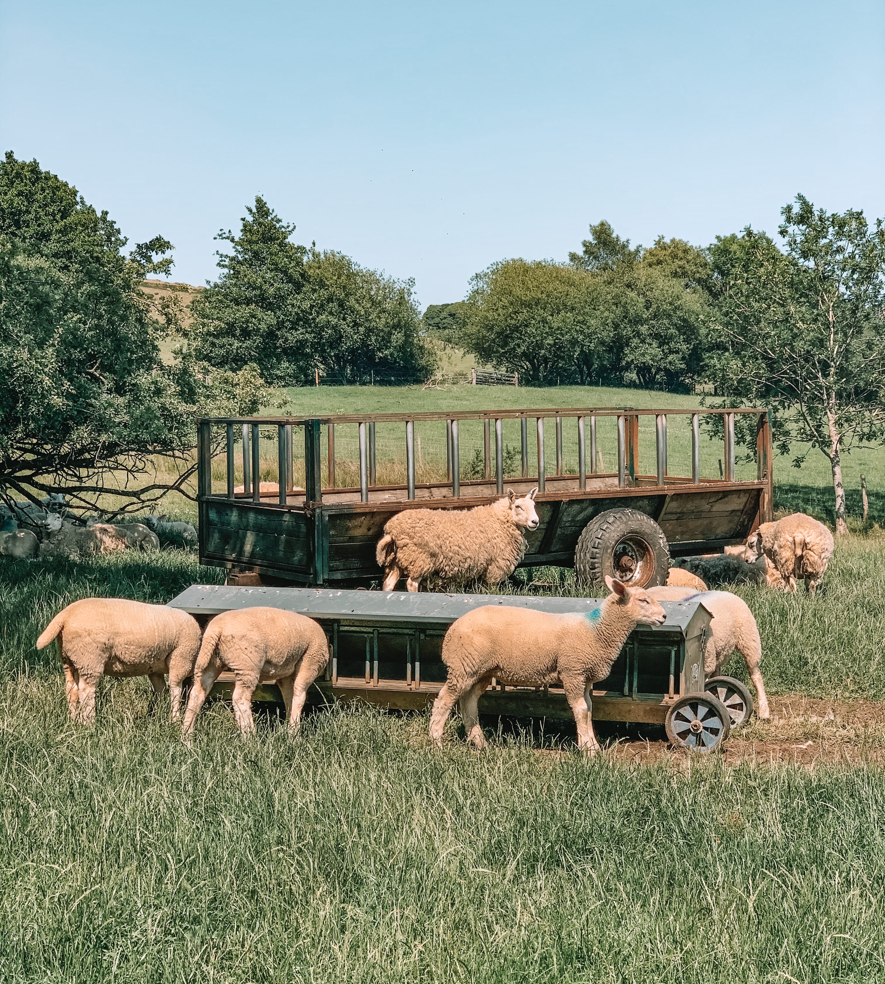
Head through the gate, into a sheep field, following the path downhill, until you reach another path junction with a signpost. Ignore the signpost, which says Castleton straight on. Instead, take the path on your right-hand side, where the gate is. Traveling across the hillside, follow the path, until you reach a cows field. Head through the gate, and follow the path on your left-hand side, taking you down the field, following the edge of the field. You should then reach another wooden signpost marking the way, over a stile, into another sheep field.

6.
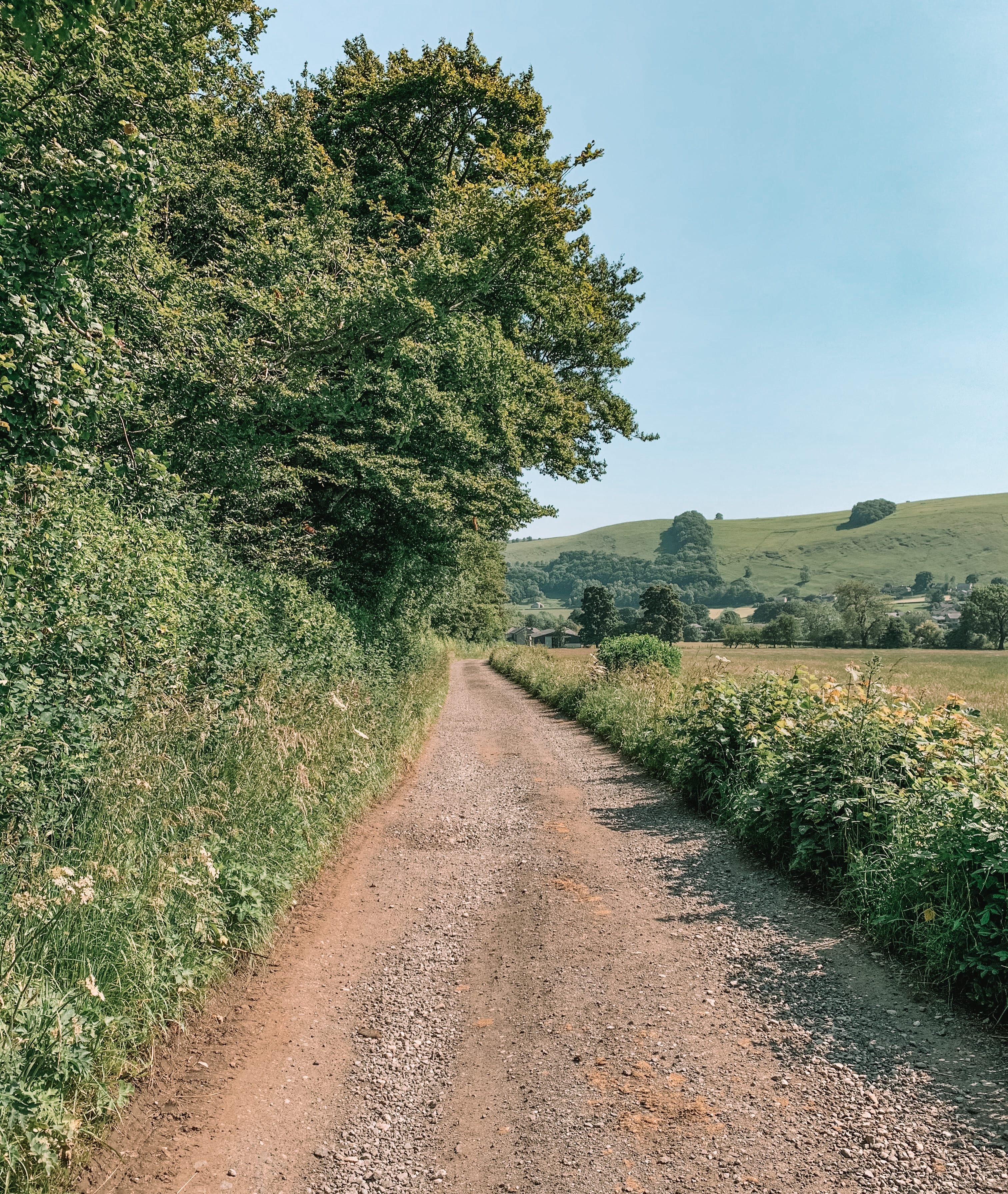
Head through the sheep field, following the footpath. The path will take you across the stream and into another field, then onto a dirt track. Keep following, until you end up on a country back road, near Castleton Youth Hostel. Turn right onto the country back road and head towards the main road, leading into Castleton. You should pass Castleton Youth Hostel on your left-hand side. As you reach the main road, turn right and follow the road, back into the village, to your car.



Enjoyed this walk and would like to do another walk in the Peak District National Park, please check out some of my other walk guides:
For more information on the Peak District National Park, please visit their website:


