Rocky Mountain National Park, is one incredible National Park, located in Northern Colorado. It is a National Park that should be on everyone’s bucket list. The park is full of the breathtaking scenery of alpine tundra, mountains, lakes, and wildlife. Not only that, the park spans the famous Continental Divide.
We visited as part of our 3-week road trip across America. Sadly, we only had 2 full days to explore the park. This was not long enough! It was enough time to give us a taste of what the park has to offer, but more time is definitely needed if you are wanting to complete some of their magnificent trails.
Here is how we spent our 2 days in the Rocky Mountain National Park:
Trail Ridge Road
The Trail Ridge Road is one of the most famous trails to do in the Rocky Mountain National Park. It is is one of ten America’s Byways in Colorado and a national designated All American Road.
The Trail Ridge Road is a 43-mile long road to drive, which travels from the east to the west of the park. It can take you anywhere between 1.5 hours to 4 hours to drive, depending on the traffic and how often you stop. The road links the towns of Estes Park and Grand Lake, Colo.
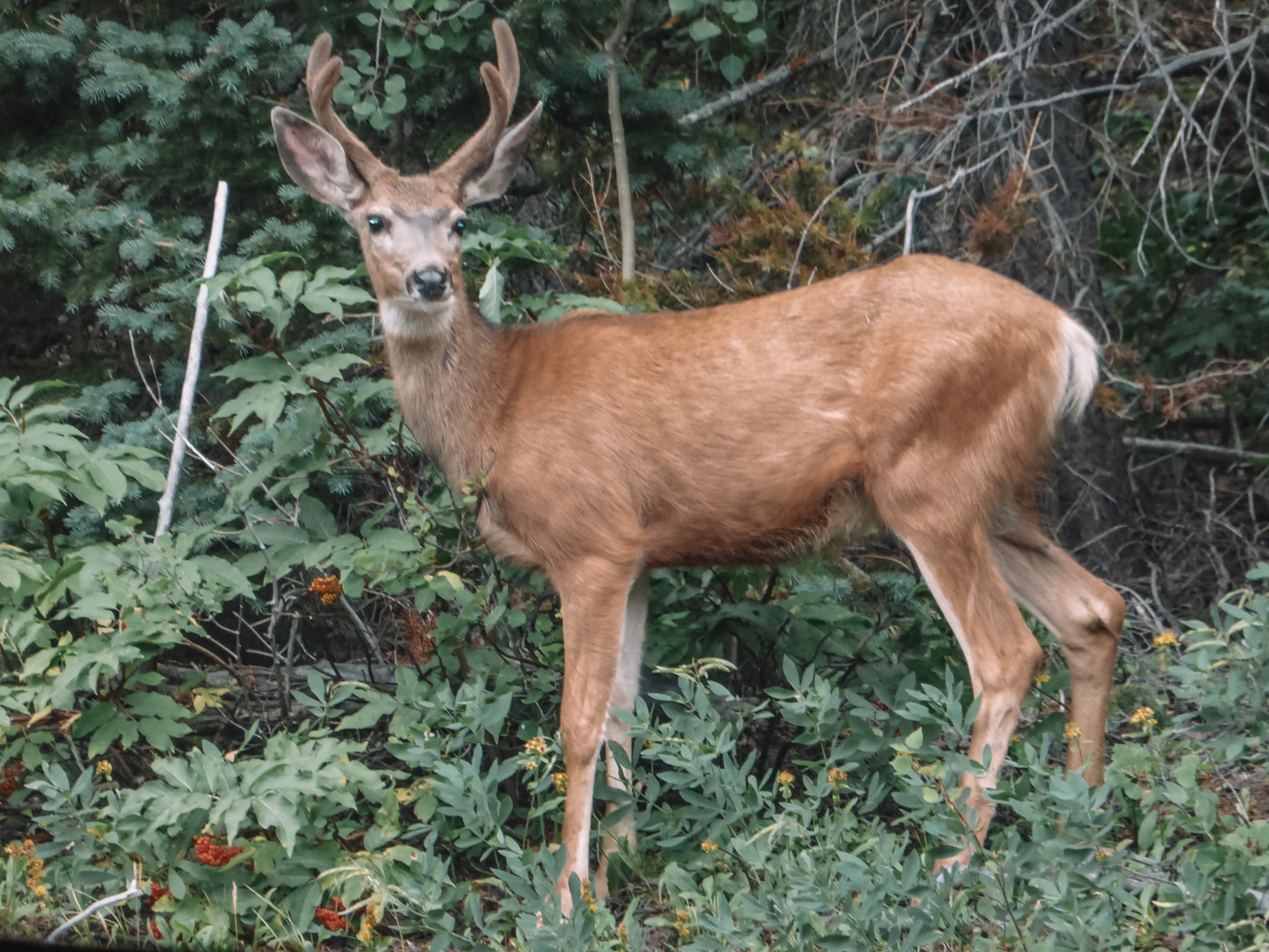
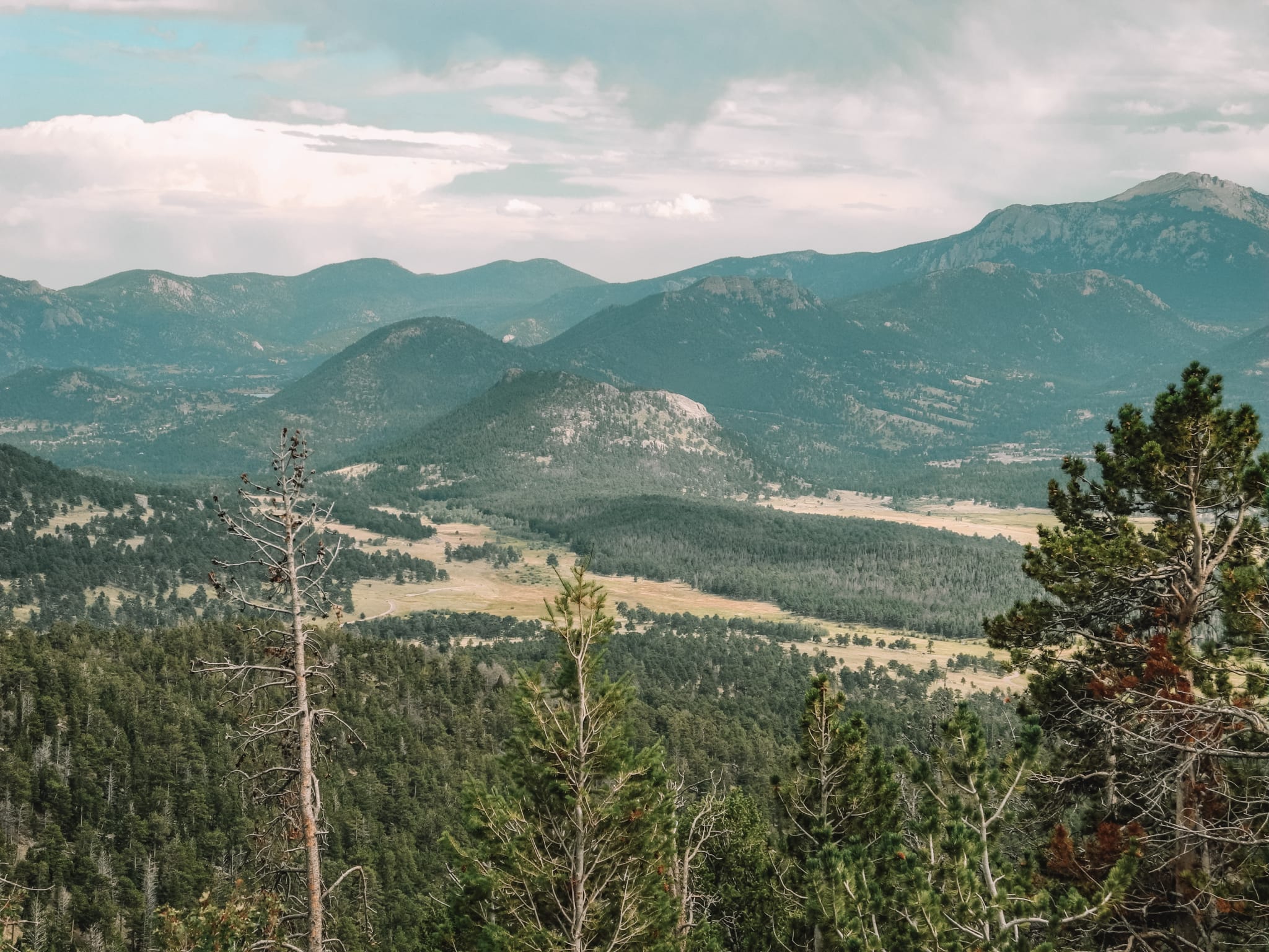
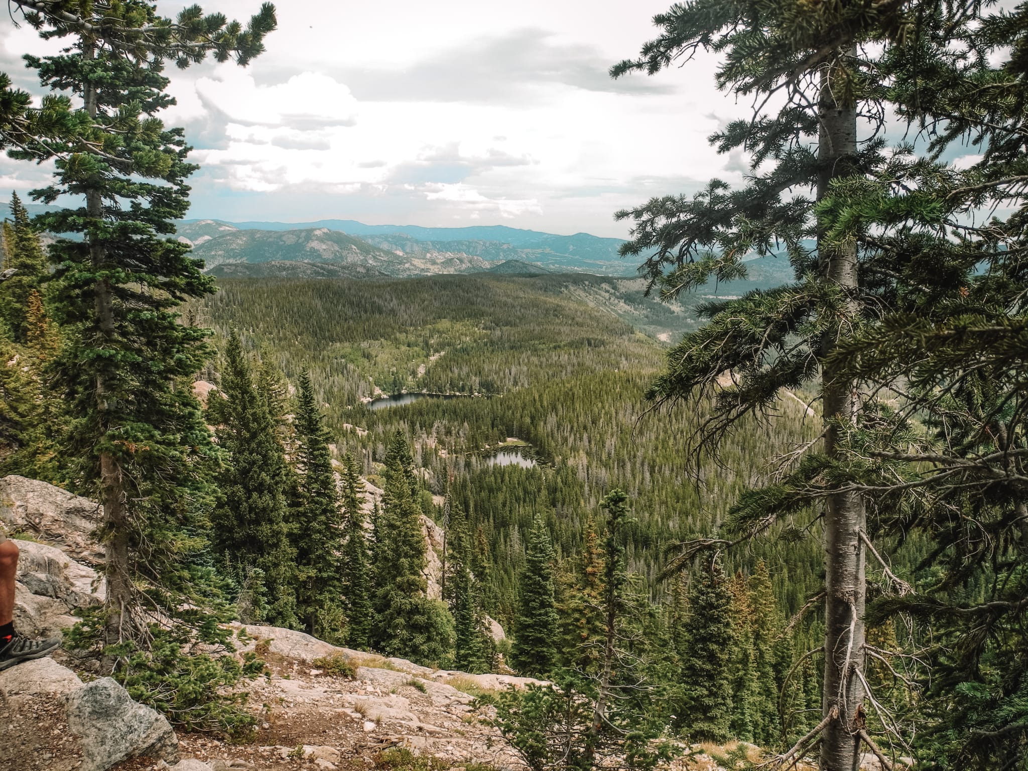
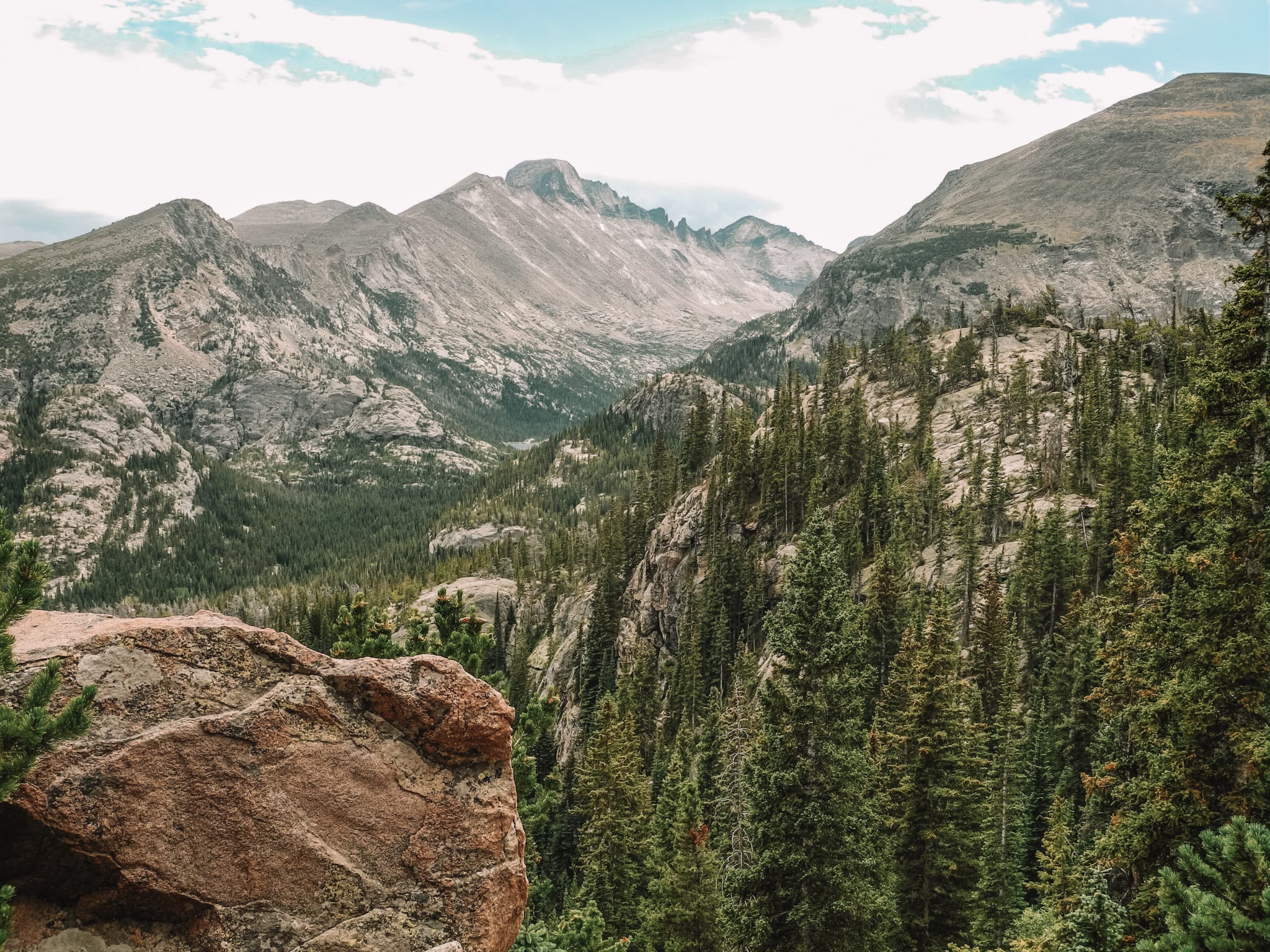
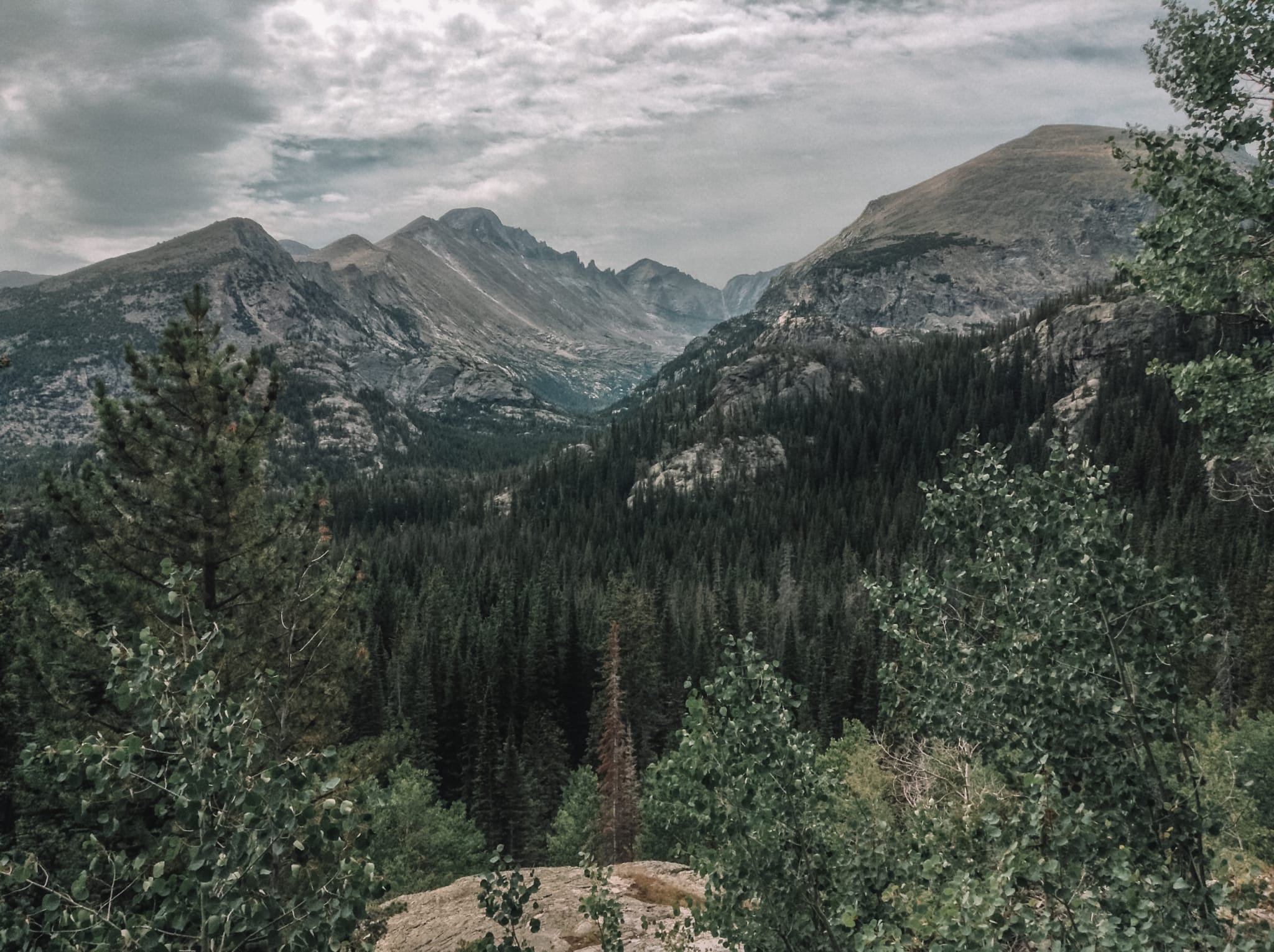
Along the way, you will see impressive views of the park, so make sure you have your camera to hand. It supposedly provides one of the best views of the National Park! I have to admit, the views were pretty fantastic! We even saw some deer so do keep your eye peeled for wildlife!
To break up the journey, you can stop off at the Alpine Visitor Centre, grab a bite to eat, and stretch your legs. It marks roughly the halfway point along the route. The visitor center is situated at almost 12,000 feet above sea level. You will notice the air is a lot thinner. It is worth getting out of your car and admiring the spectacular views of the Continental Divide and western side of the National Park.

Tundra Communities Trail
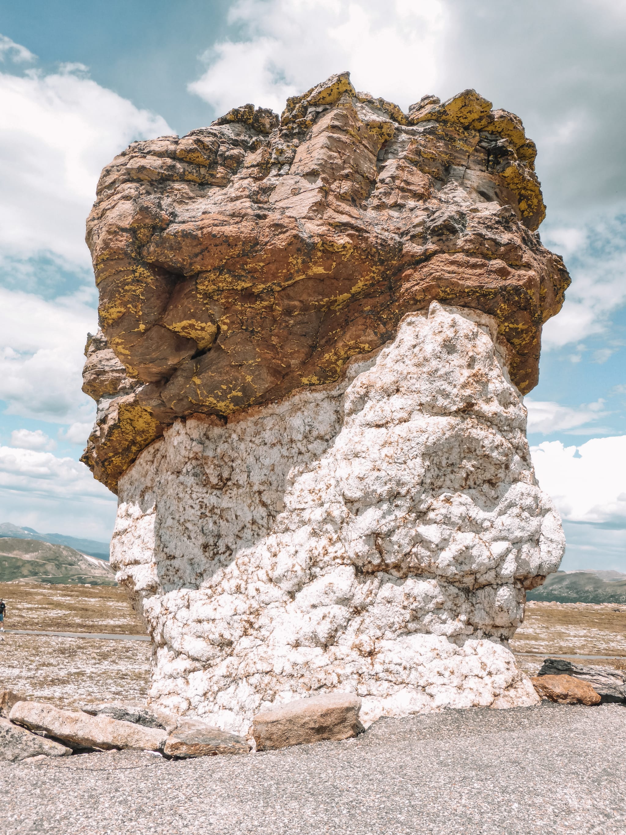
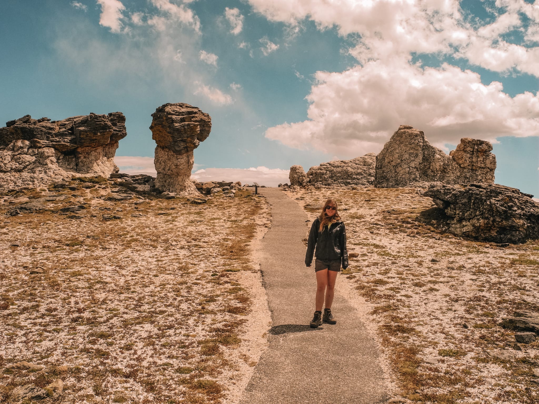
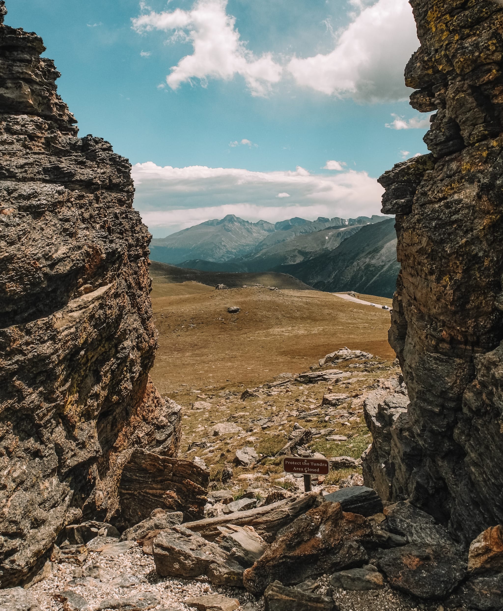
The Tundra Communities Trail is a 1.1-mile loop, located 4.1-miles east from the Alpine Visitor Centre on the Trail Ridge Road. The walk is only a short walk and is full of interesting rock formations. However, please beware, the trail is at around 12,000 feet, so you will likely notice the air is a lot thinner.
With 35% less oxygen in the air compared to sea level, you will find yourself getting out of breath more easily, especially on the climb up. Please allow extra time to complete the trail so you can walk at a slower pace, to prevent yourself from getting out of breath, and allow yourself to take regualar stops.
Ute Trail
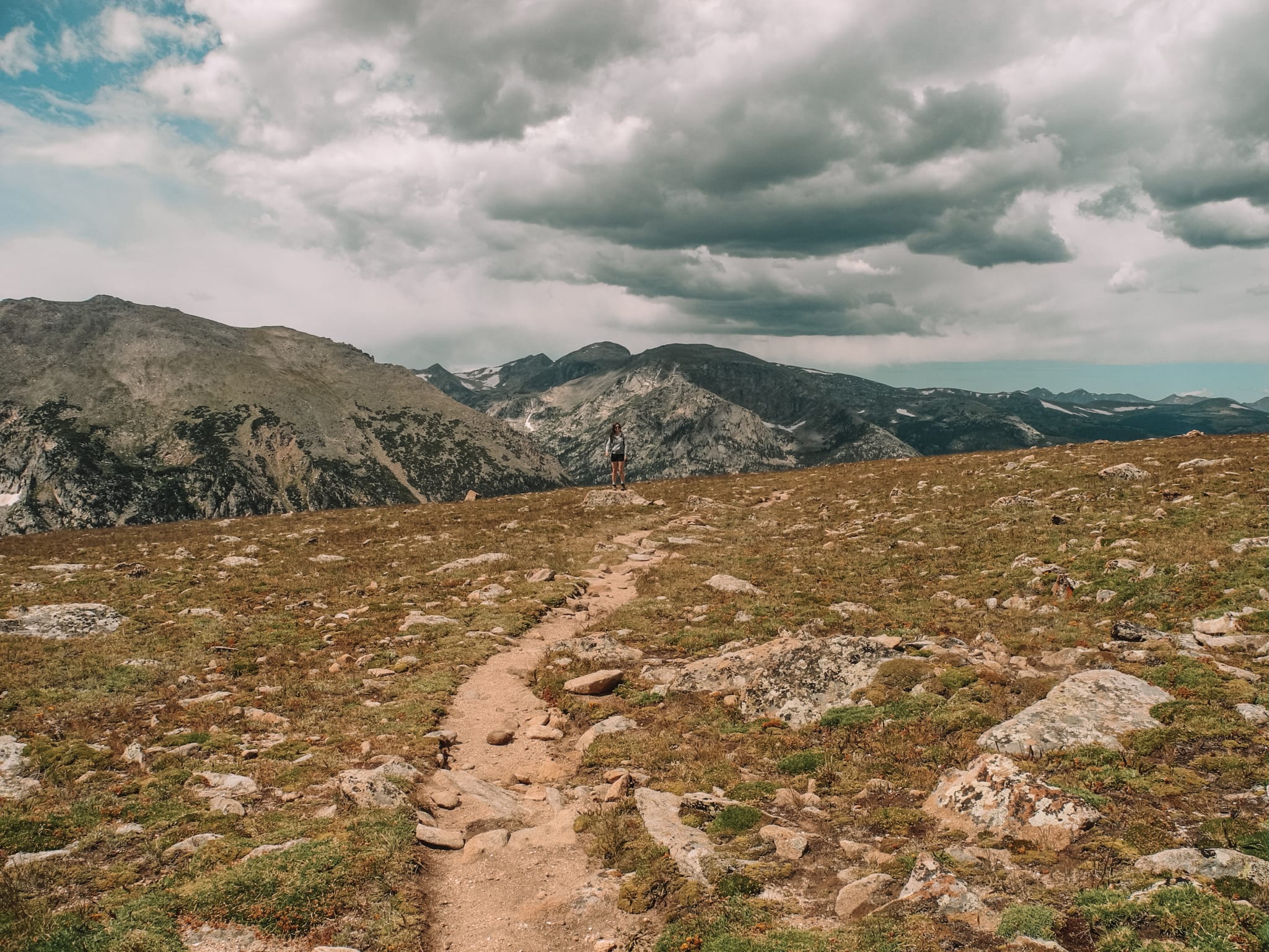
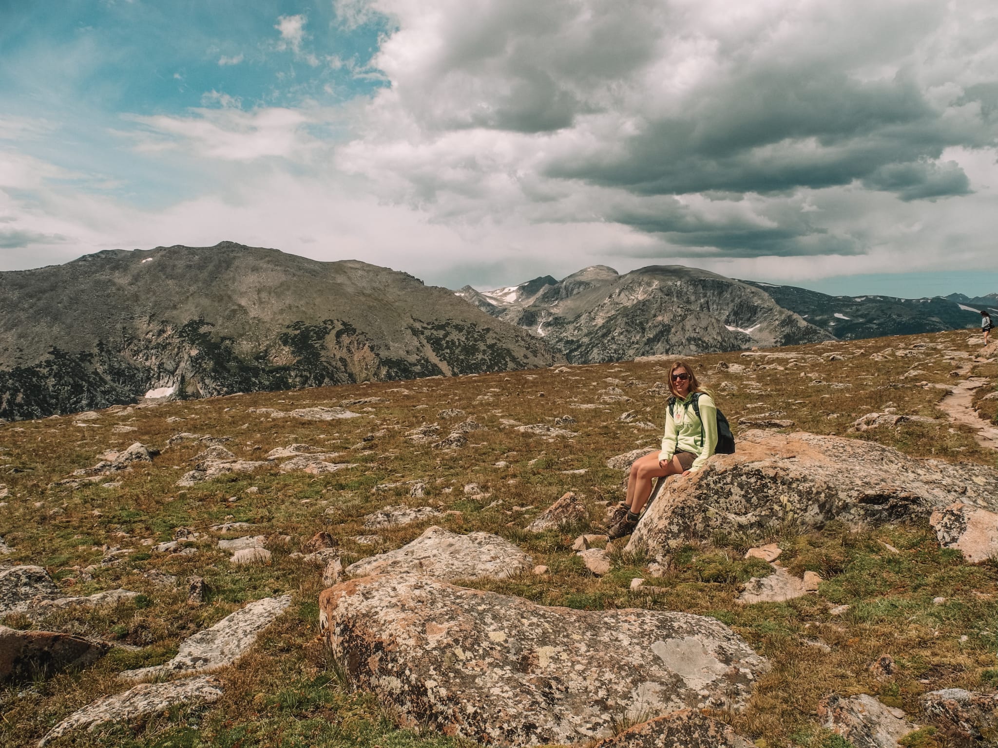
The Ute Trail is an easy, 4-mile loop across beautiful alpine tundra scenery, just off the Trail Ridge Road. The trail begins from the Ute Crossing Trailhead. The trail is at 11,000 feet, allowing hikers to enjoy incredible views and alpine tundra scenery, without having to do a lot of climbing.
The best time to walk the trail is in the morning. As the day goes on, thunderstorms can form and you don’t want to get caught out in one along the trail, as you are very exposed. The safest thing to do before going out for your hike is to check the weather forecast.
We only walked part of the trail, before turning back on ourselves. The walk was nice and easy-going, with views for miles. It wasn’t one of my favourite walks to do in the park, but it was still enjoyable.
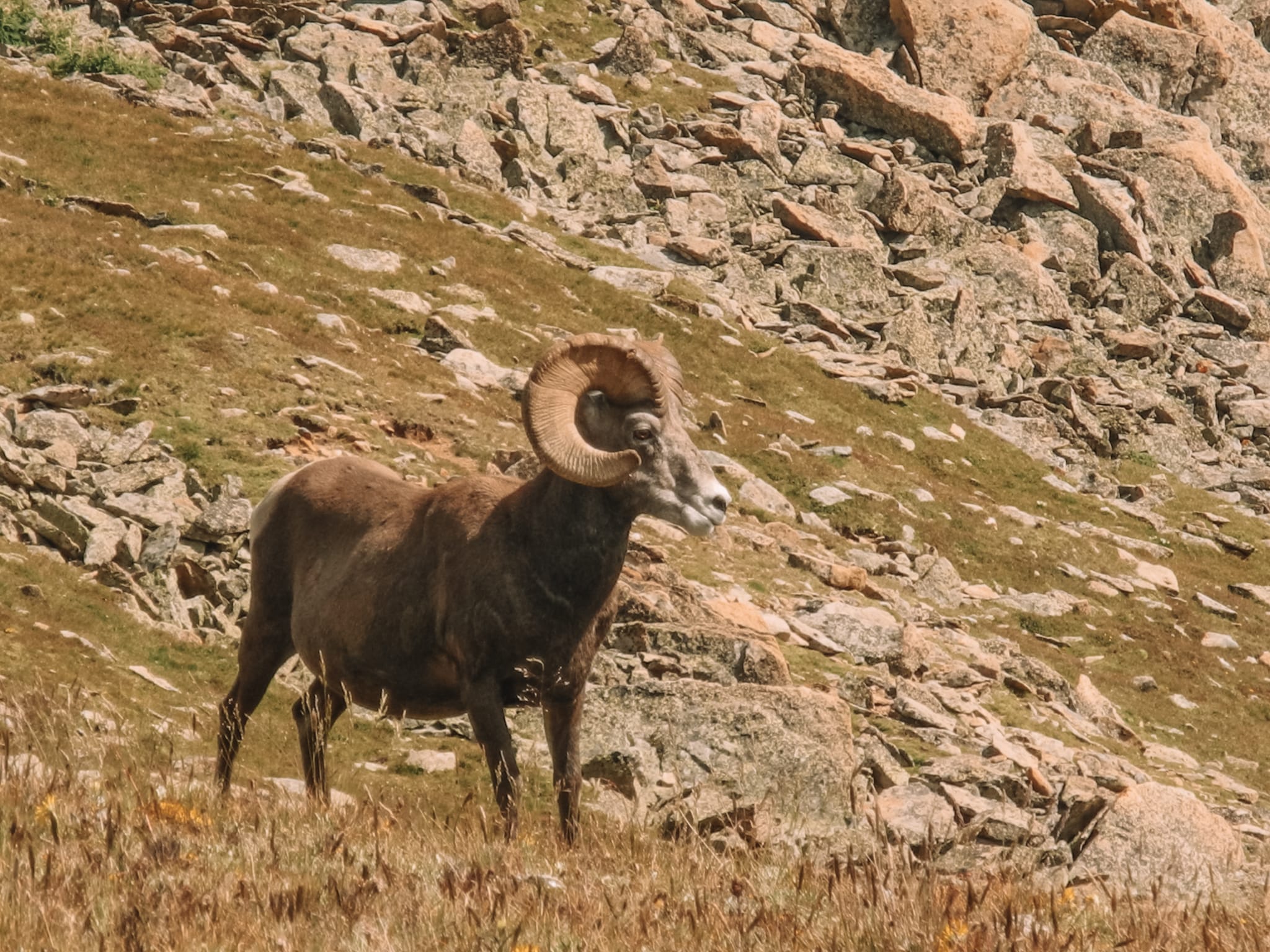
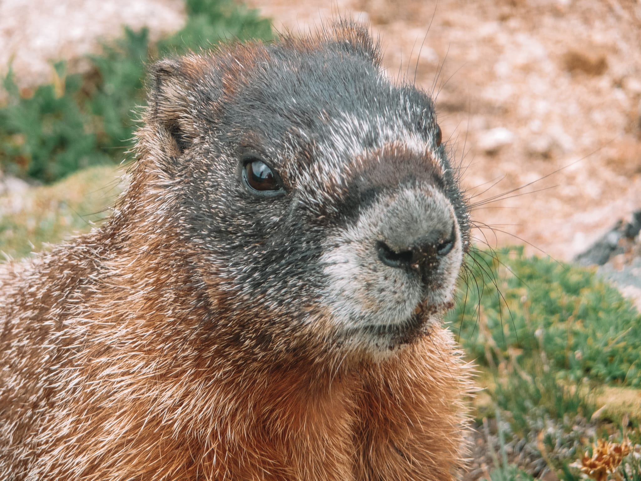
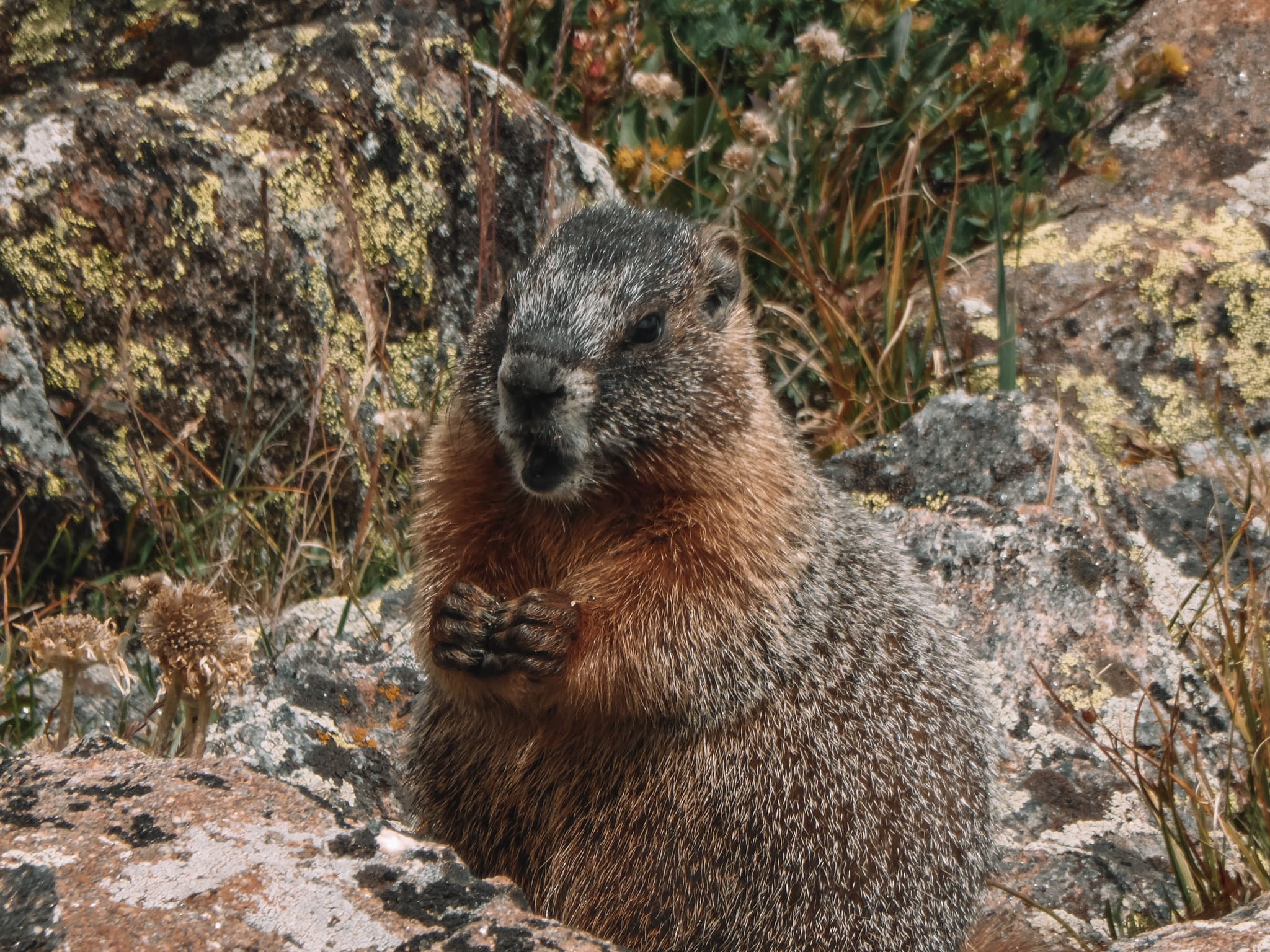
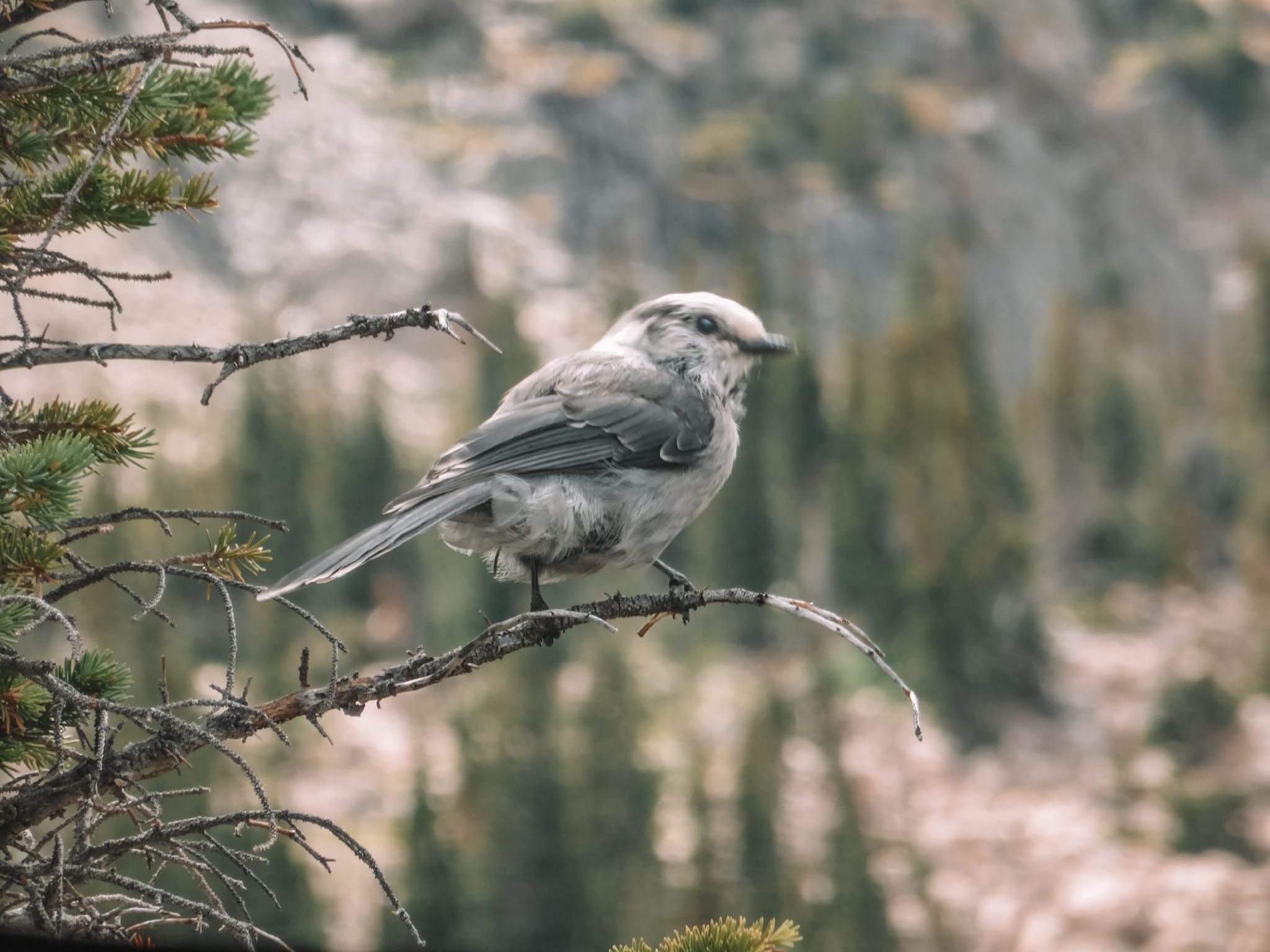
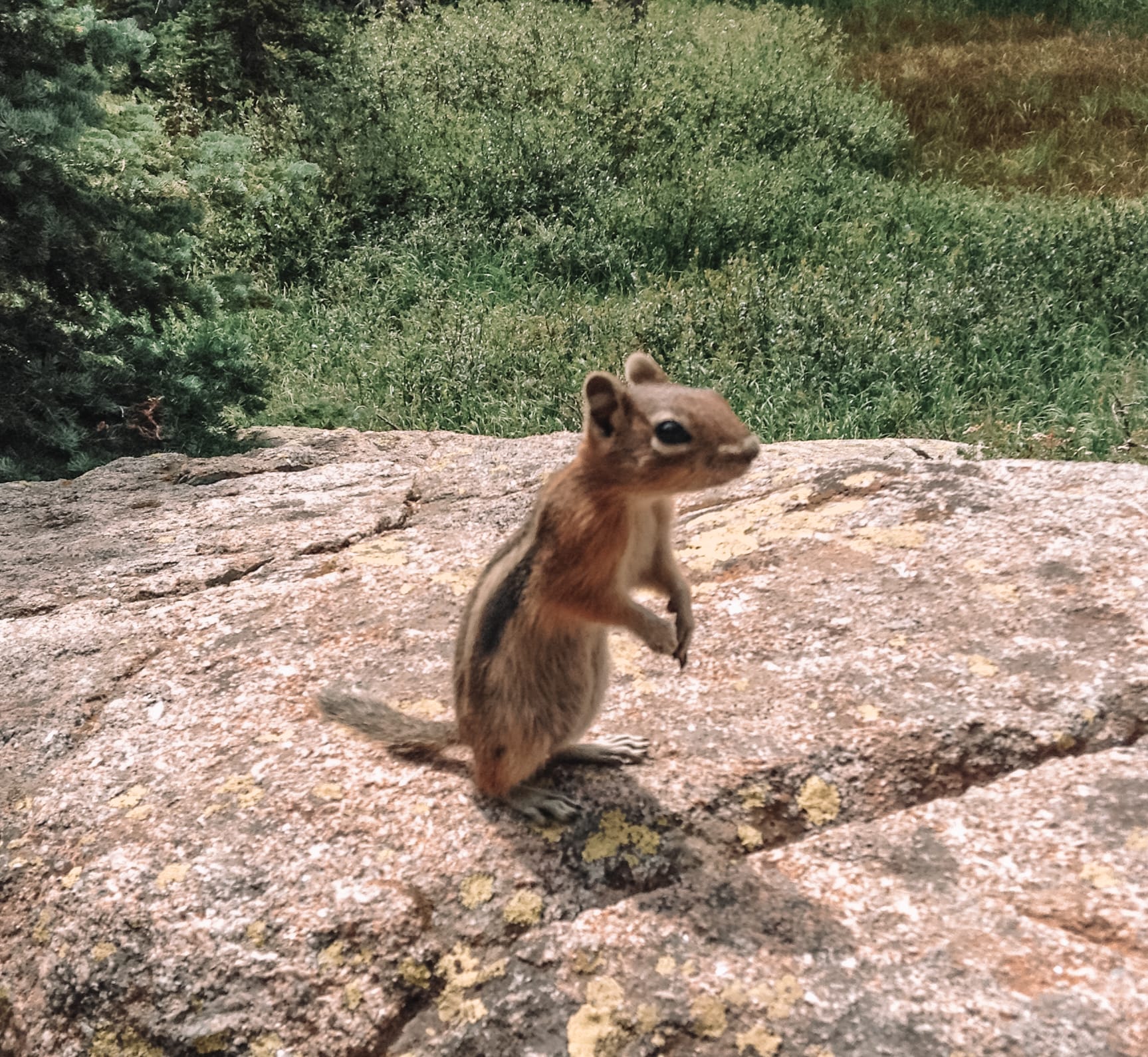
Don’t forget to watch out for wildlife along the trail. We saw lots of Marmots and Bighorn Sheep.

Emerald Lake Trail
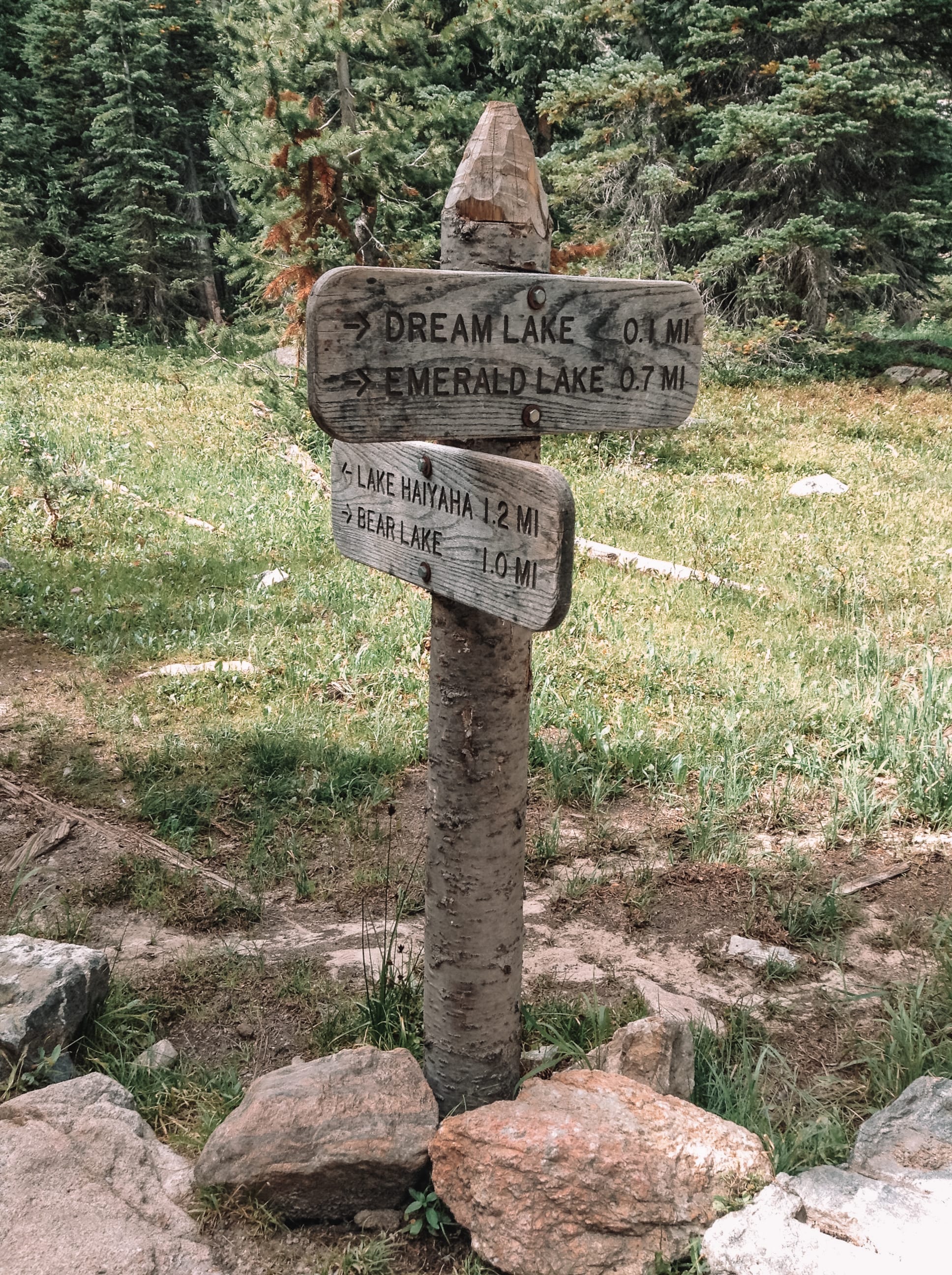
To walk to Emerald Lake, you need to start at Bear Lake Trailhead, which is located at the end of Bear Lake Road. I recommend using the frequent, free shuttle bus during peak season, as the road can get too congested with cars.
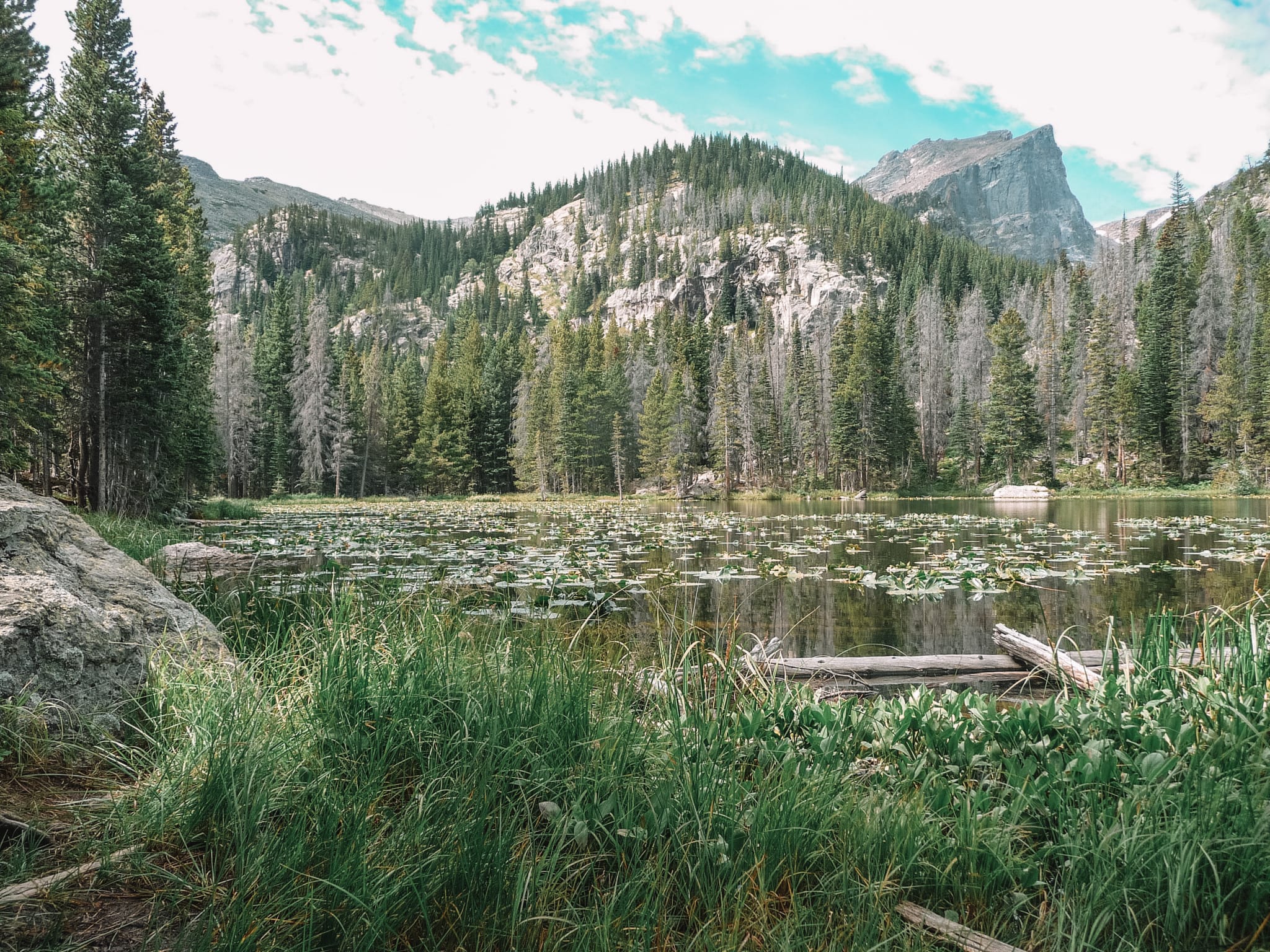
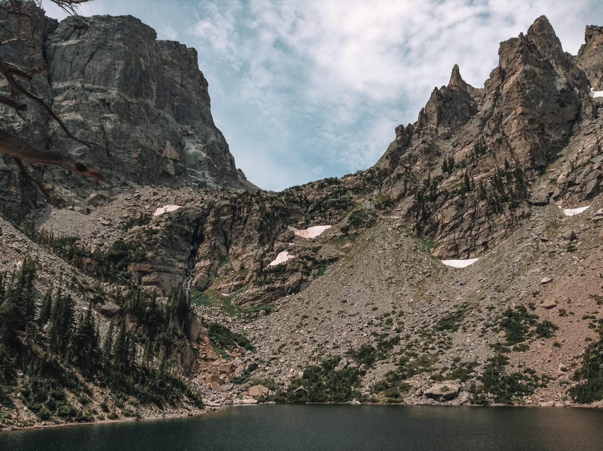
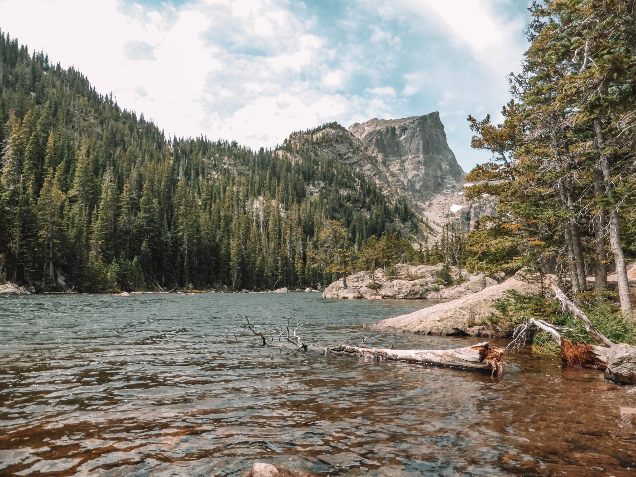
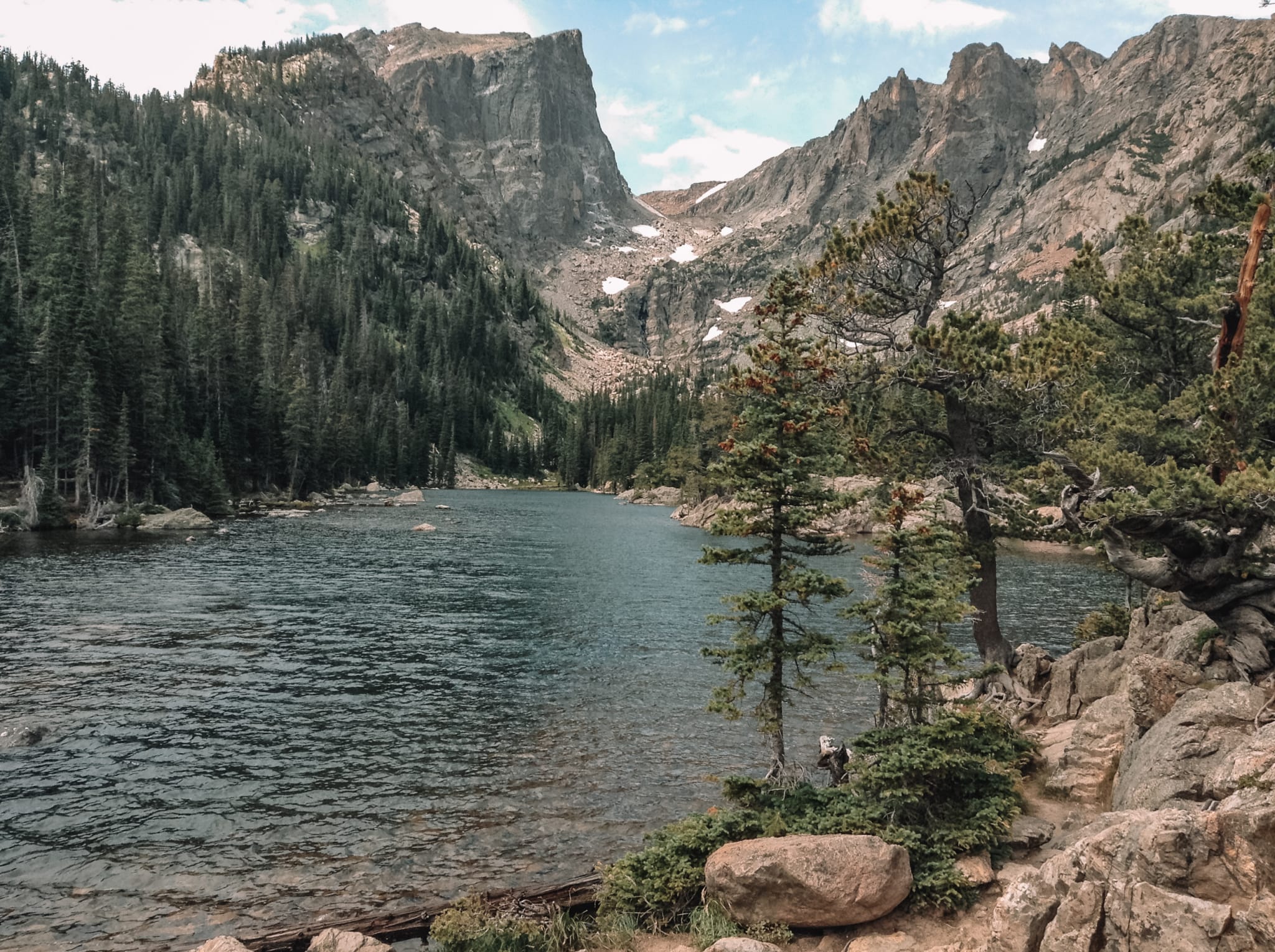
To walk to Emerald Lake, from Bear Lake Trailhead, follow the well-marked signpost. On route to Emerald Lake, you will pass Nymph Lake. A very picturesque lake, full of water lilies. On our way back from Emerald Lake, we detoured off to Dream Lake. The trail was a 3.5-mile return, easy hike with the detour. One highly recommended hike!
Nymph Lake:
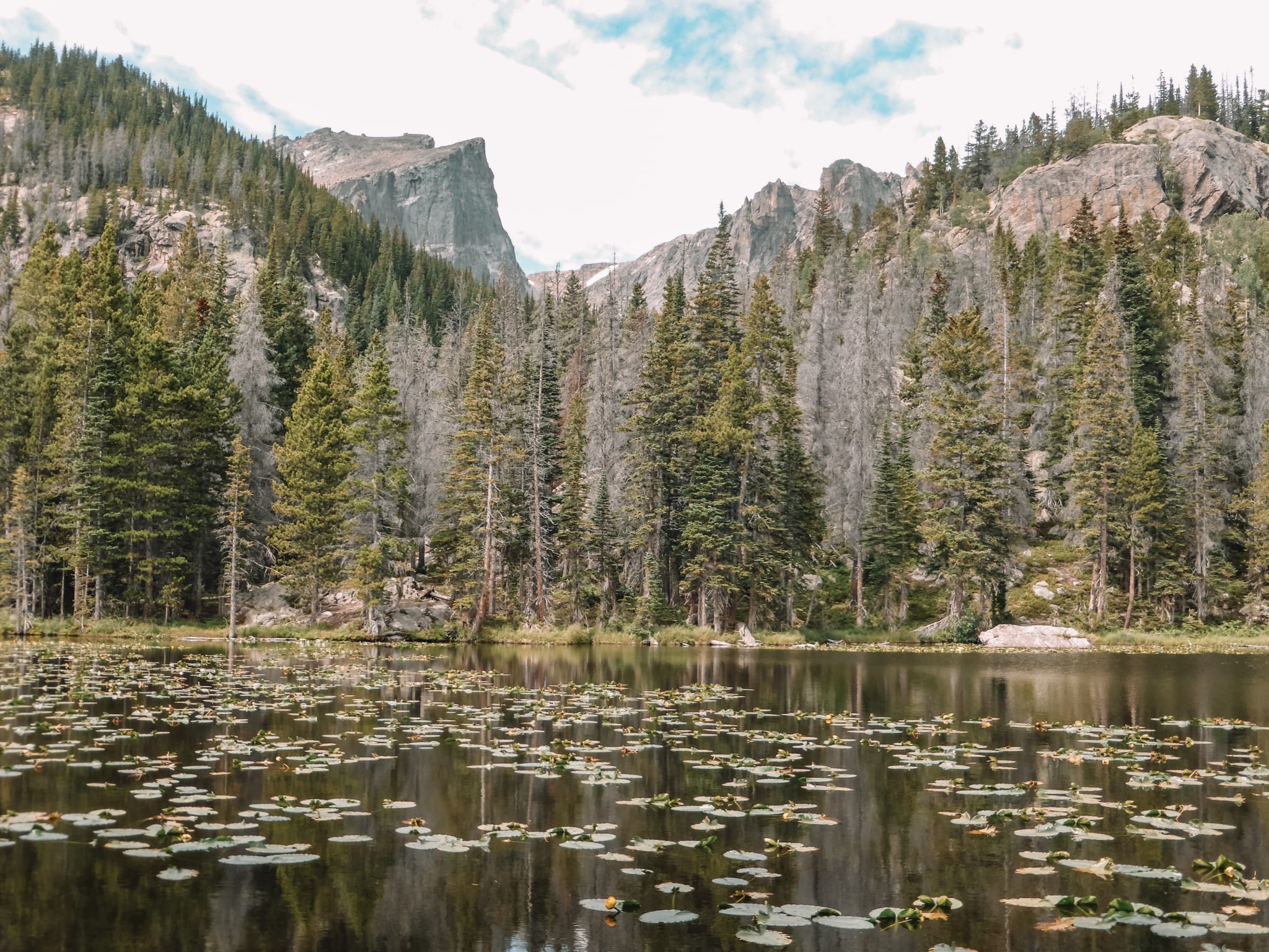
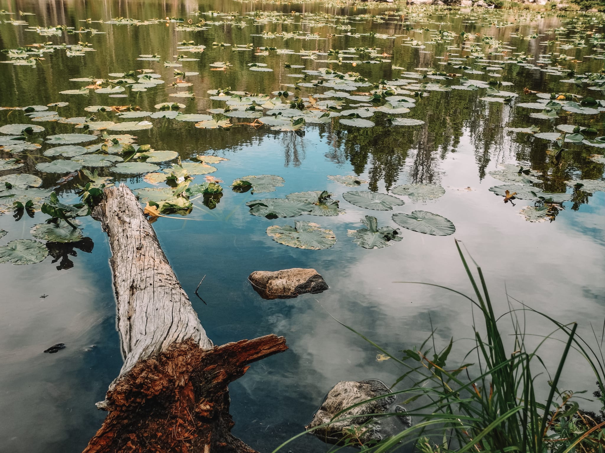

Emerald Lake:
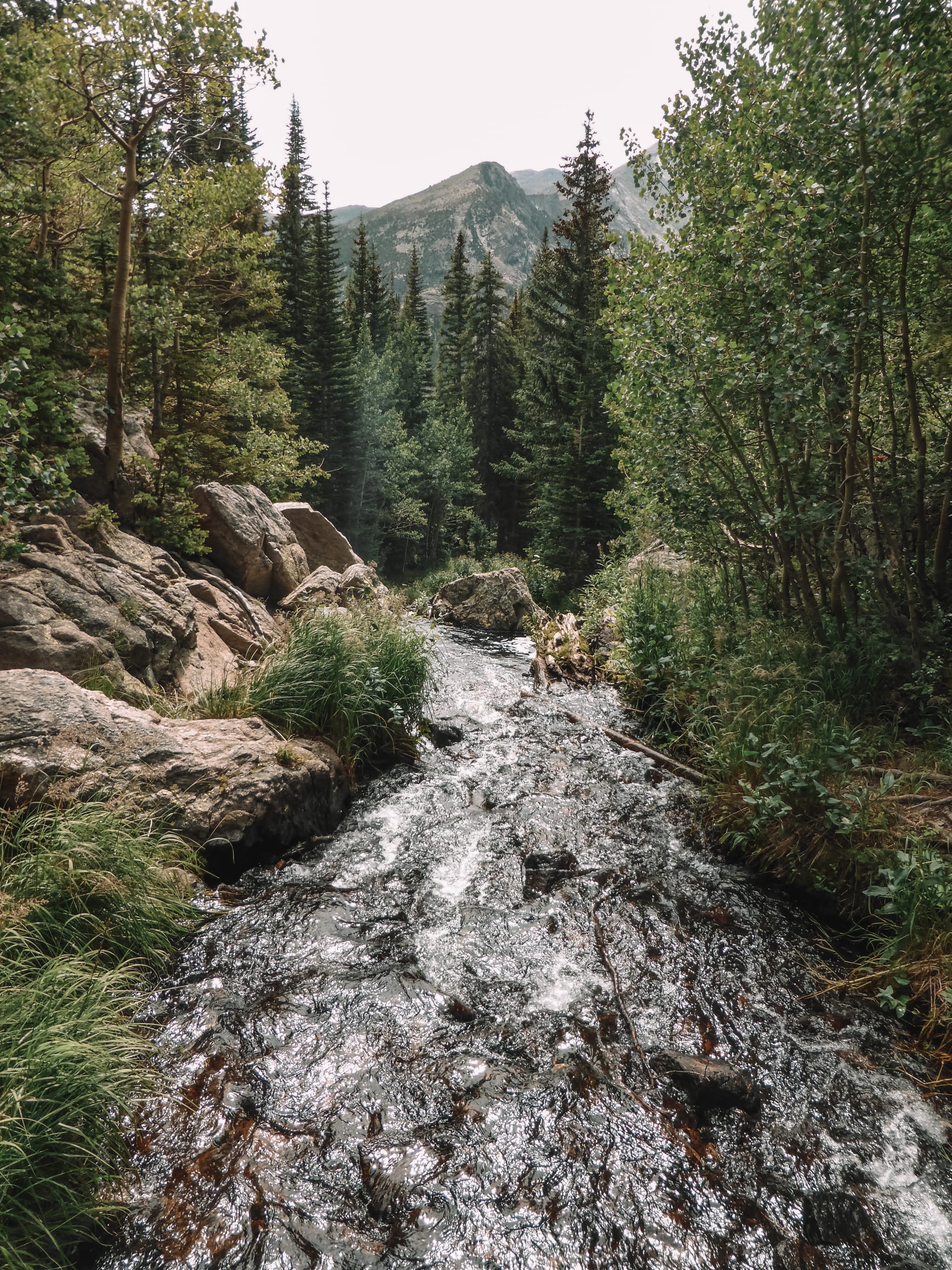


Dream Lake:
Sprague Lake Trail
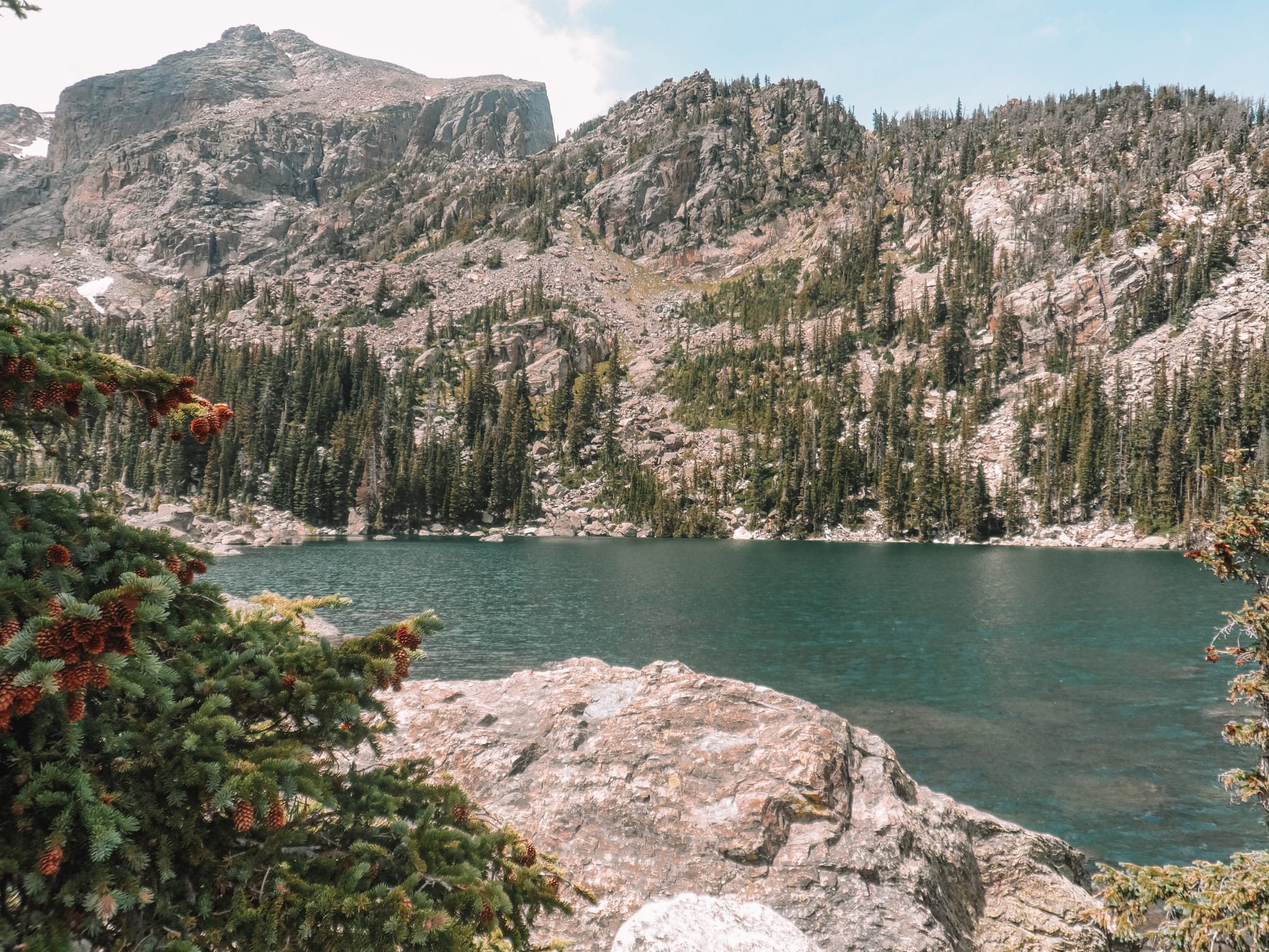
Sprague Lake Trail is a beautiful short, 0.8-mile loop to the beautiful Sprague Lake.
The Sprague Lake Trailhead is located just off Bear Lake Road. I recommend using the frequent, free shuttle bus during peak season, as the road can get too congested with cars. I also recommend walking the trail early morning or late afternoon as, during the day, the trail can get very congested with hikers.
For more information about Rocky Mountain National Park, please check out the park’s website:
https://www.nps.gov/romo/index.htm
Liked Rocky Mountain National Park? Check out one of my other favourite parks to go hiking in the Rocky Mountains:


