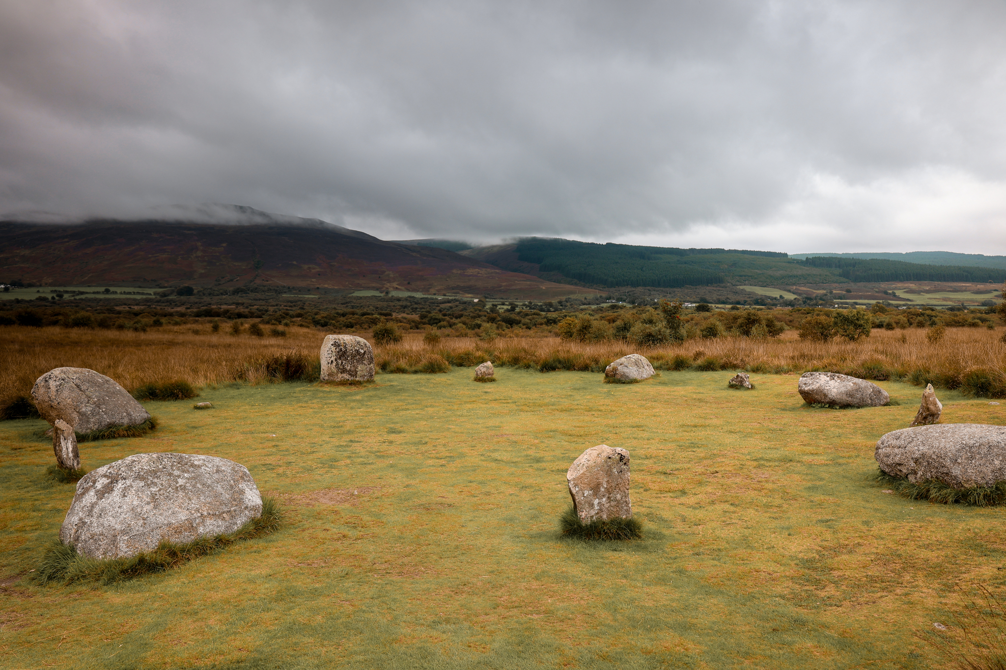
A walk to the Machrie Moor Standing Stones is a very popular walk to do on the Isle of Arran! It’s a collection of six stone circles, marking the history that once stood here on the moors. It is believed to have been built around 2000 BC. It is the best-known archaeological site on Arran.
The walk is only a short, gentle walk, making it great for the whole family. The route there and back is just 3 miles long, on a well-marked path.
Location
Machrie Moor Standing Stones is located west of the island, not too far from the village of Blackwaterfoot.
Parking
There is a little car park, at the start of the walk, marked as the car park for Machrie Moor. At the time we visited, the car park was free to park.
SatNav: Machrie Moor Car Park, A841, Machrie, KA27 8DX

The Route
Follow this map, as you walk the route, and you shouldn’t get lost! Make sure your location is turned on and you should be able to see exactly where you are, on this map. Or if you prefer, download the GPX file and use it on your choice of route tracker.
1.
Starting from the car park, head through the gate, leading you east, out of the car park.

2.
Follow a tractor track towards Machrie Moor Standing Stones. As you head towards the standing stones, you’ll first come to some ancient ruins.
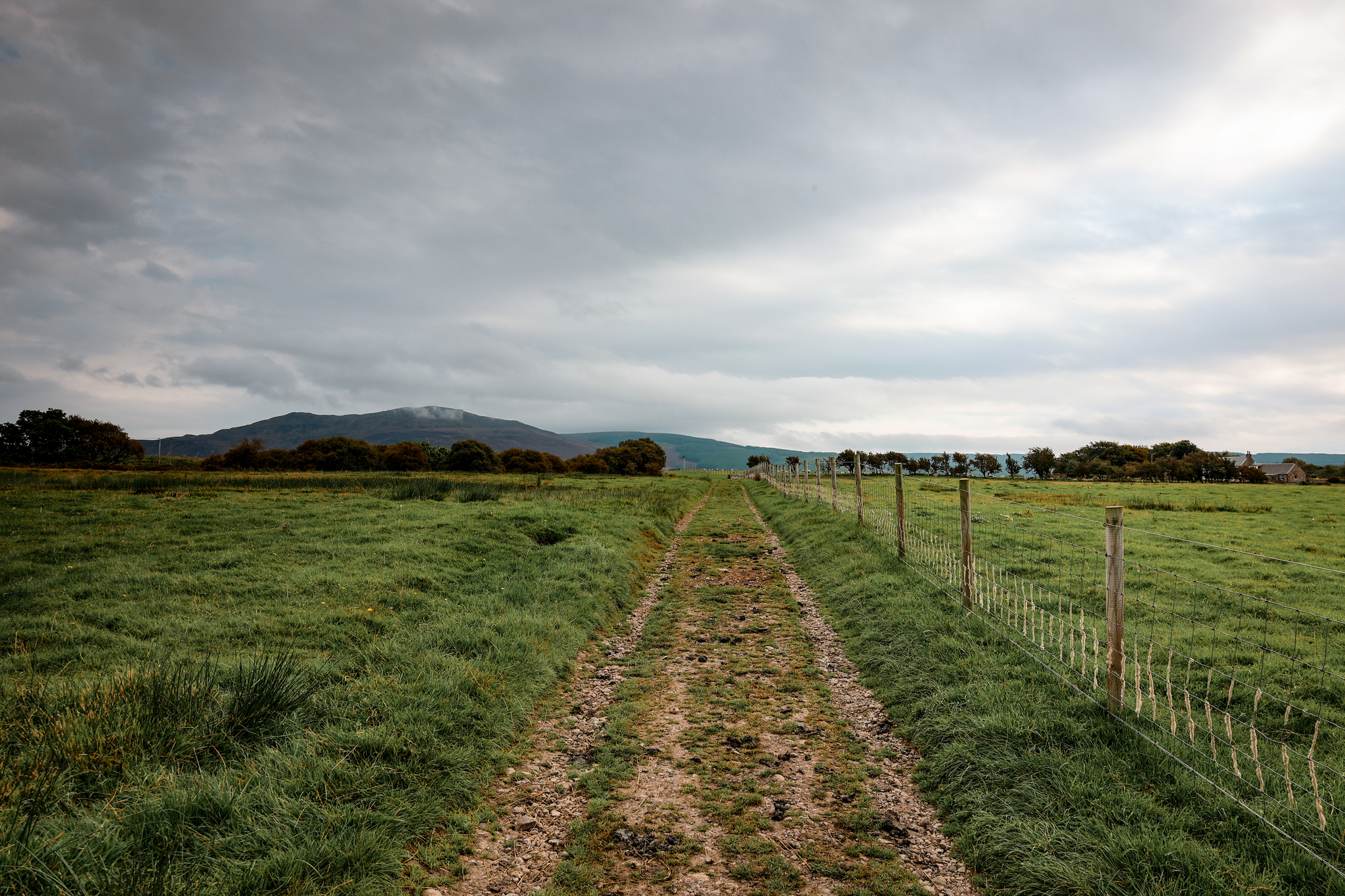

3.
After a stop by the ancient ruins, continue on until you reach the standing stones. As you reach the standing stones, take the little paths leading you off to each set of stones.
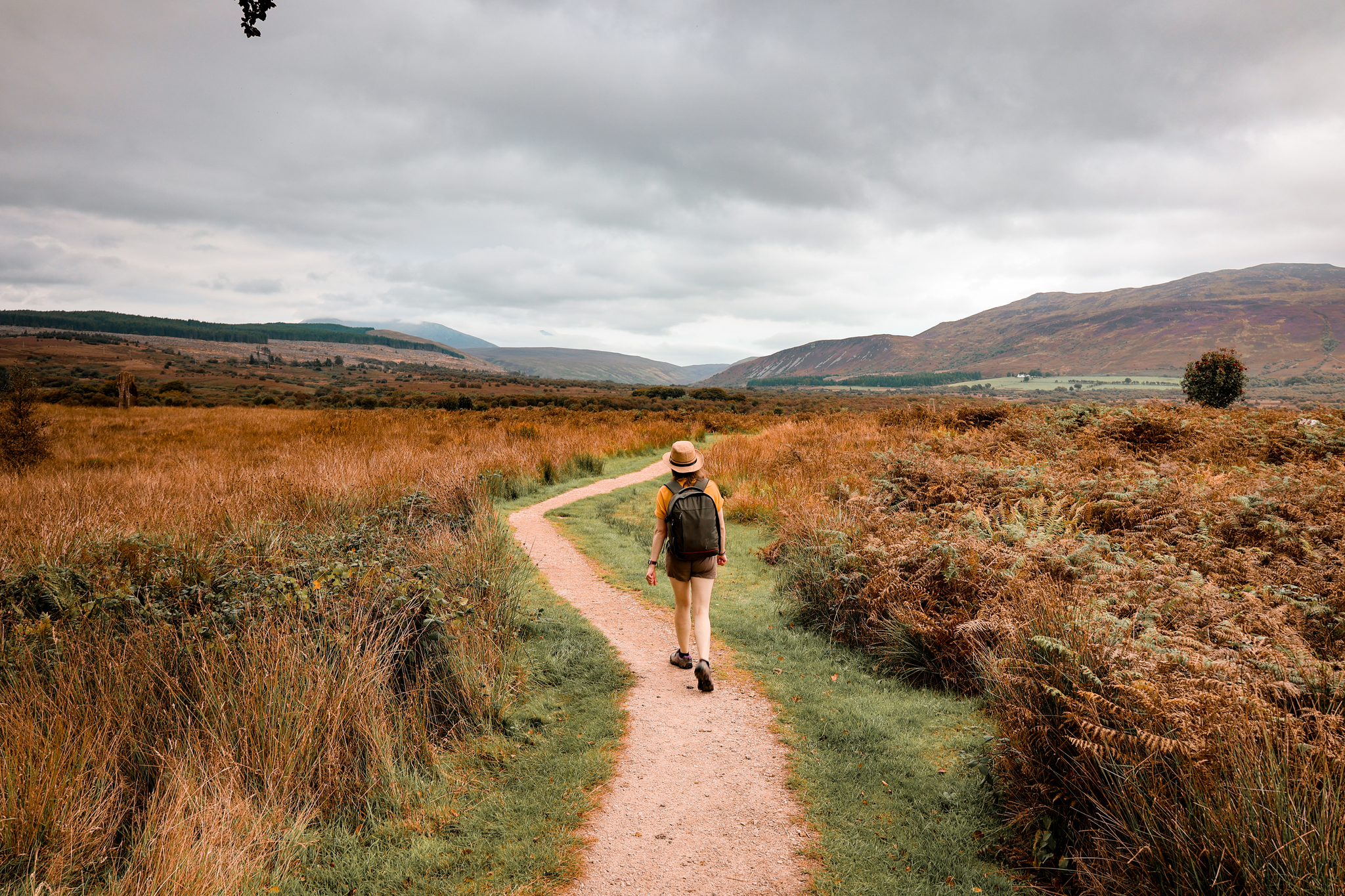

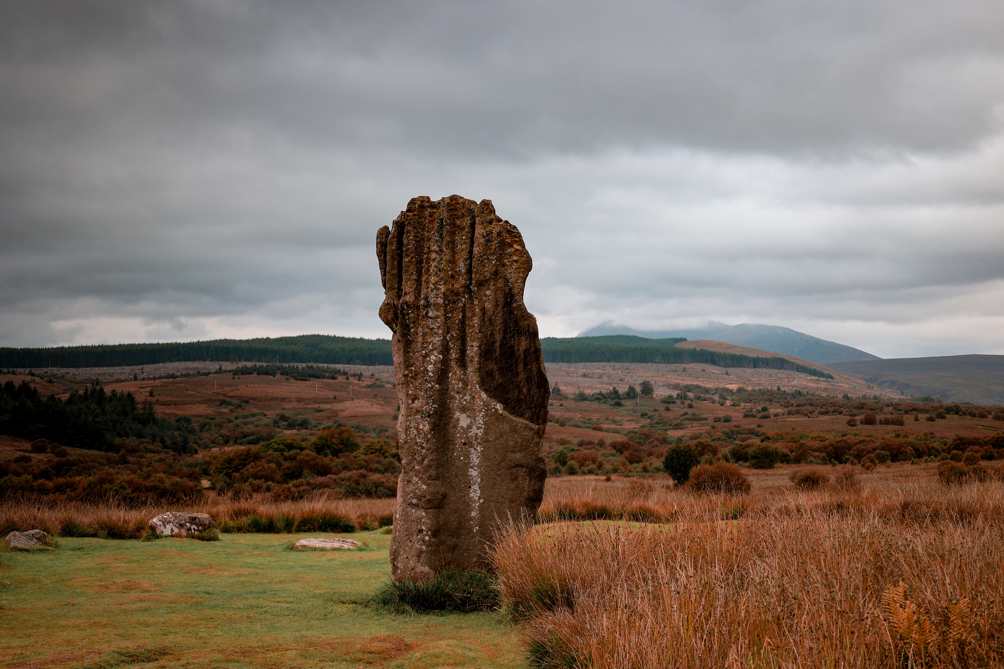
4.
As you reach the last circle of stones, retrace your steps back towards the car park, where you started the walk from.

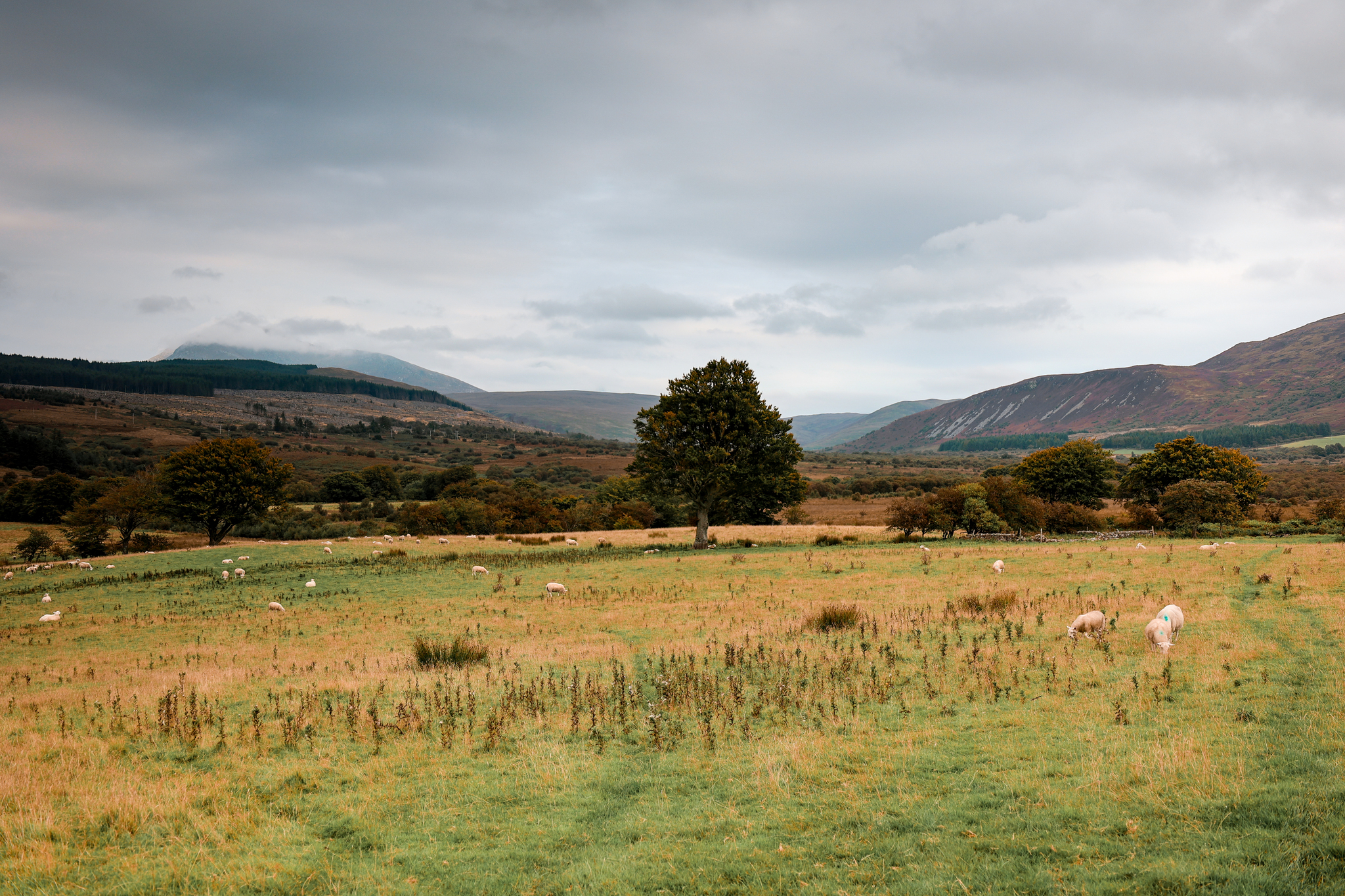
To watch the route in action, head over to our YouTube channel, The Adventurous Pair: https://youtu.be/c5OjbZ0l0ms
Enjoyed this walk? Why not have a go at one of my other favourites: Isle of Arran
Want to stay updated with new blogs? Don’t forget to subscribe by completing the form below!
(don’t forget to check your junkbox for the confirmation e-mail!)