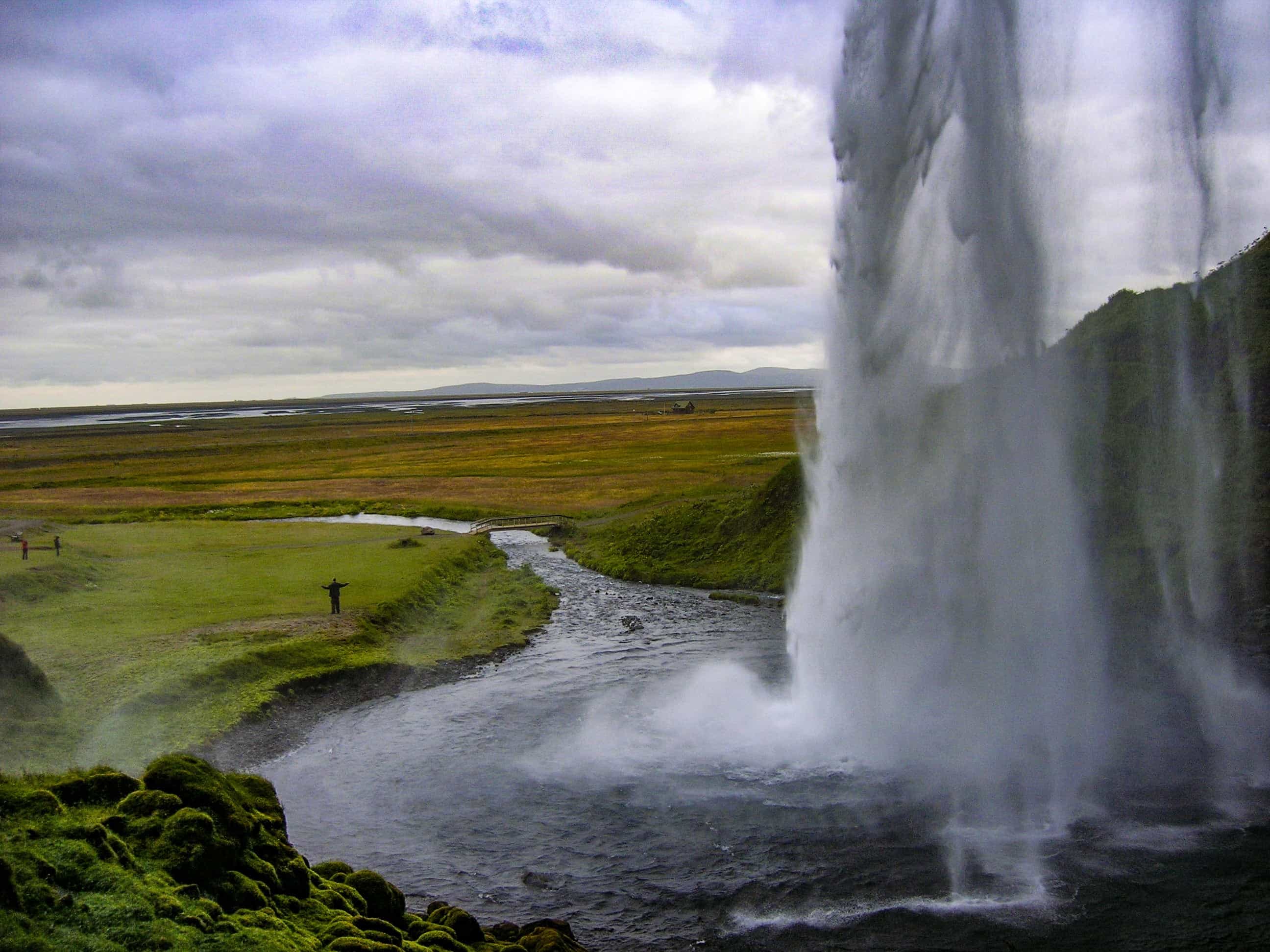
If you’re planning a trip to the Isle of Mull, a day trip across to the Isle of Ulva is a must!
The Isle of Ulva is only a little community-owned island! Just 7.4 miles (12 km) long, and 2.4 miles (4 km) wide, it’s easily explorable on foot.

Getting to Ulva
To get to the island, you have to catch a little boat, which is a great experience in itself!
Please note: the boat only takes pedestrians and bikes. No cars are allowed on the island!
To catch the boat, there is a board at the port with instructions on how to signal for it. Basically, when you want to call for the boat, you pull across the wooden slider, to the red signal. This gets the attention across the water. Once the boat starts to make it’s way to you, pull back the wooden slider, so it no longer shows the red signal.
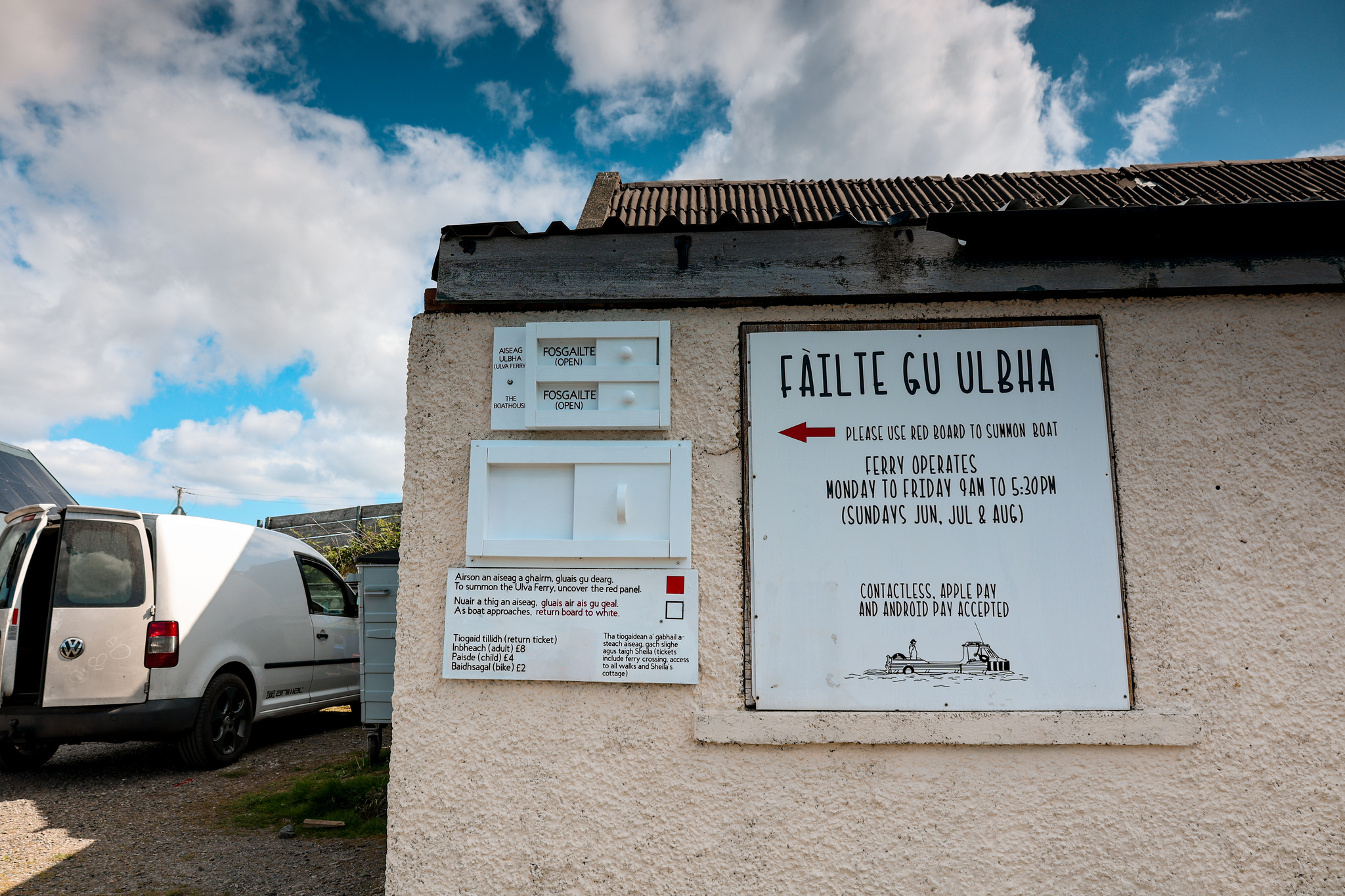
The ferry runs from the 1st April to the 25th October, Monday to Friday, 9am to 5.30pm. During the peak summer months, June, July, and August it also operates on a Sunday.
Please note, the ferry never operates on a Saturday!
For up-to-date prices and times, please check out their website: https://www.ulva.scot/getting-here

What To See and Do
In my opinion, the best way to see the island is by heading off on one of the many different well-marked trails. The island has a fair few to choose from, depending on how long of a walk you want to go on, and what type of scenery you want to see!
Short Walks:
- Farm House – 2.3 miles (3.75 km)
- Woodland Walk – 3.7 miles (6 km)
- Ulva House Circular – 2 miles (3.4 km)
Longer Walks:
- Ormaig and Kilvekewen – 8 miles (13 km)
- Livingstone Walk – 4.6 miles (7.5 km)
- Gometra – 16 miles (25 km)
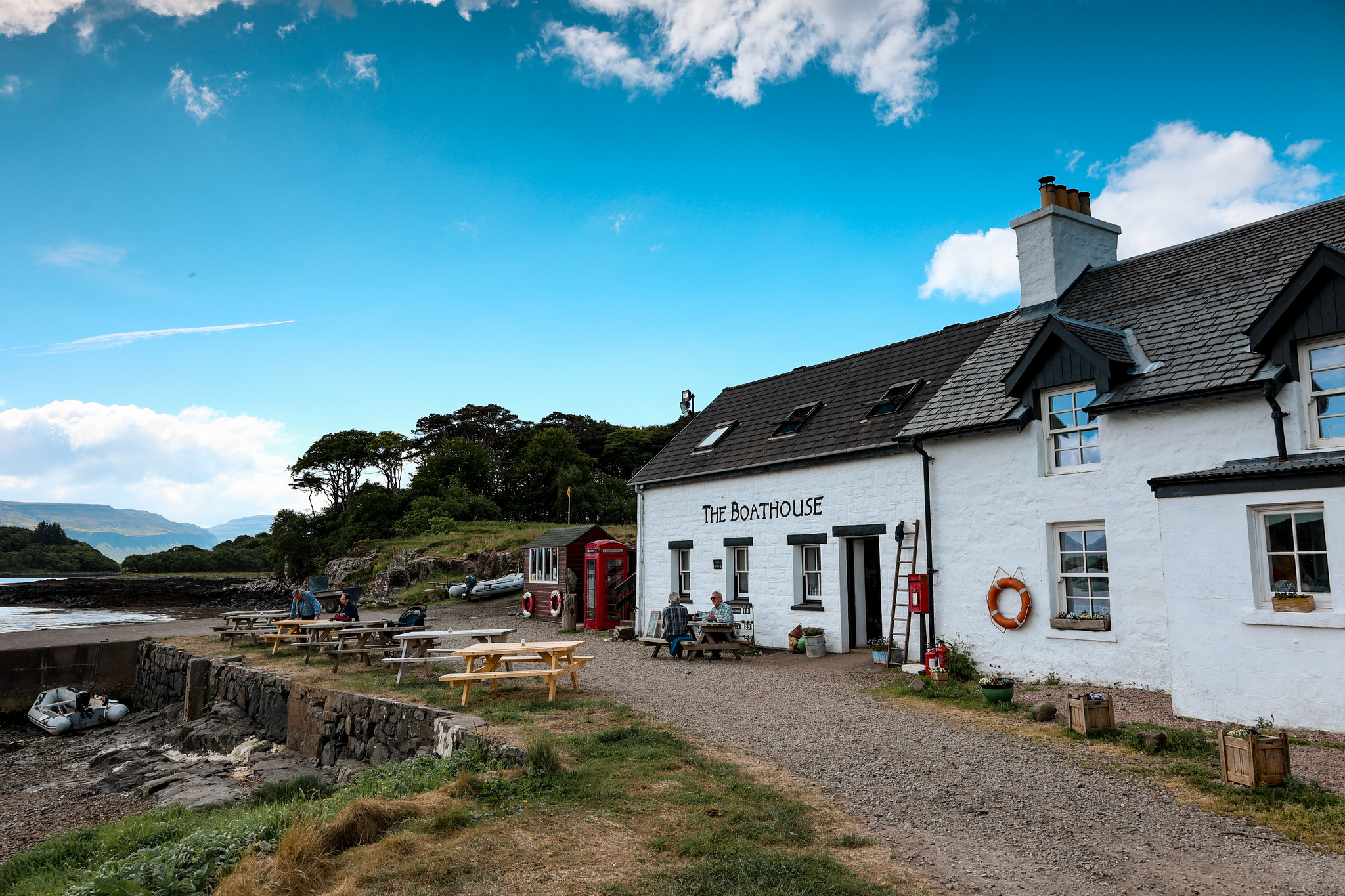
After your walk, don’t forget to stop by The Boathouse Restaurant before catching the little boat back to Mull! It’s a lovely restaurant that sells locally sourced food, and homemade bread and cakes. A perfect stop to refuel!


My Route
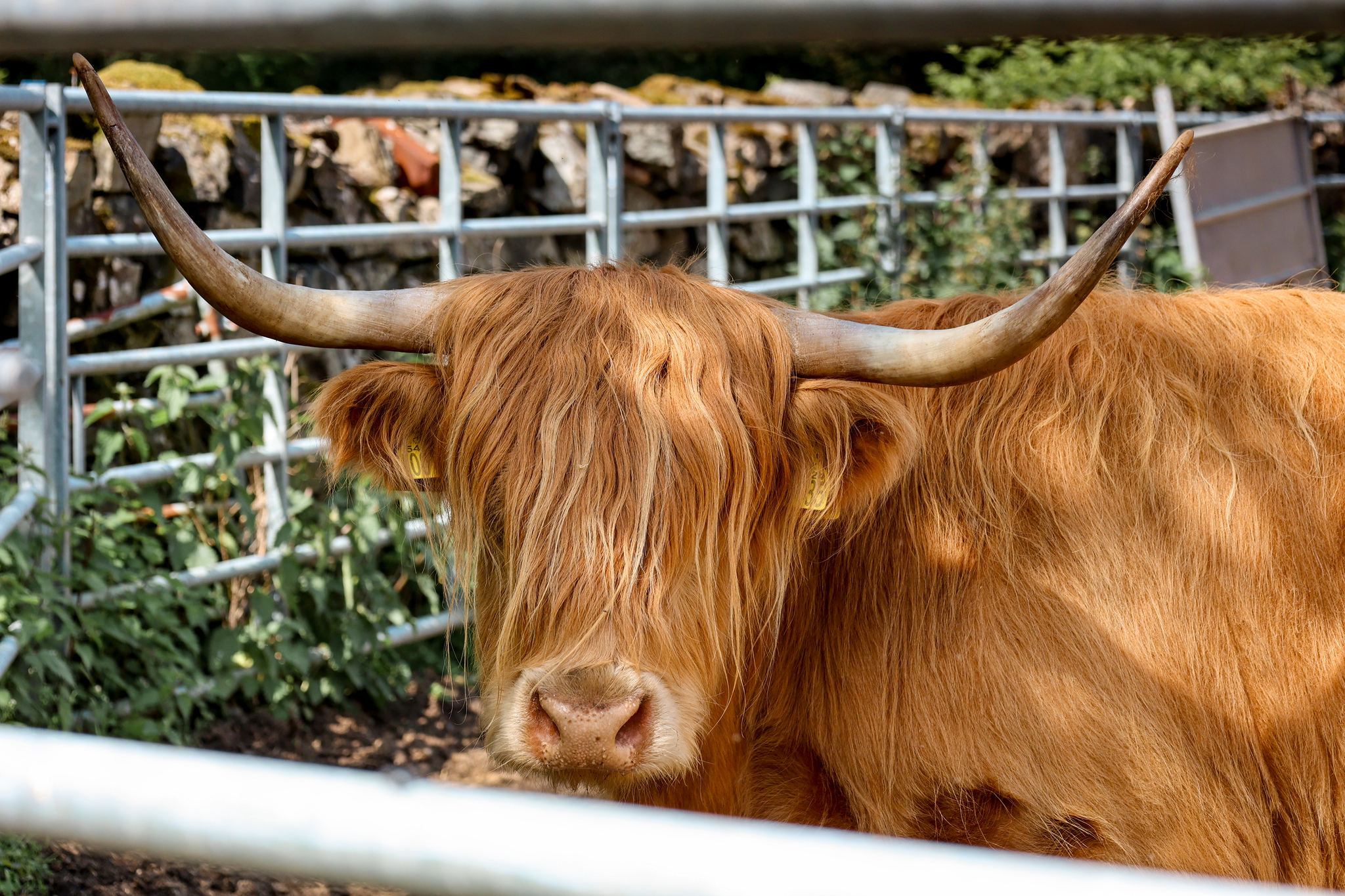
We didn’t follow any of the island’s named trails as a full route! Instead, we combined a few of the sign-posted trails, including the Farm House and the Woodland Walk, and created our own. One where we walked past farmland, seeing lots of Highland Cattle, but also took you out onto the coastal path, providing great views over to the Isle of Mull.
The route is just over 3 miles (4.8 km) long, and nothing too strenuous! I’ve called it The Shore Walk.
The Shore Walk
Follow this map as you walk the route, and you shouldn’t get lost! Make sure your location is turned on and you should be able to see exactly where you are on this map. Or if you prefer, download the GPX file and use it on your choice of route tracker.
The route is a circular walk. Please walk the route anticlockwise!
You will notice on the map a small part of the marked route going off the circular route, traveling southwest, through the trees. Please ignore! (I’ve circled below, in yellow!)

1.
Starting from the ferry port, beside the Boathouse Restaurant. Take the track heading north from the boat dock. Follow the track as it bends round, sign-posted all over routes.
If you have time and are interested, you can detour off to Shelia’s Cottage, a Heritage museum. Just follow the signpost off to your right-hand side. At the time we visited, it was temporarily closed.

2.
Continue along the track, signposted Farm Track, passing a track going off to your left-hand side, and then shortly after one going off to your right-hand side. Eventually, you will reach a fork-like junction.
3.
Take the track forking off to your left-hand side, signposted the Farm Path. Follow the track as it leads past a cattle barn on your left-hand side.

4.
Continue along the Farm Path. After passing a track going off to your left-hand side to Ulva House, you should notice your track curves around to your left-hand side. Shortly after, you should see a boat workshop made out of scraps, on your right-hand side.
If you are unsure at any point, please check the map!
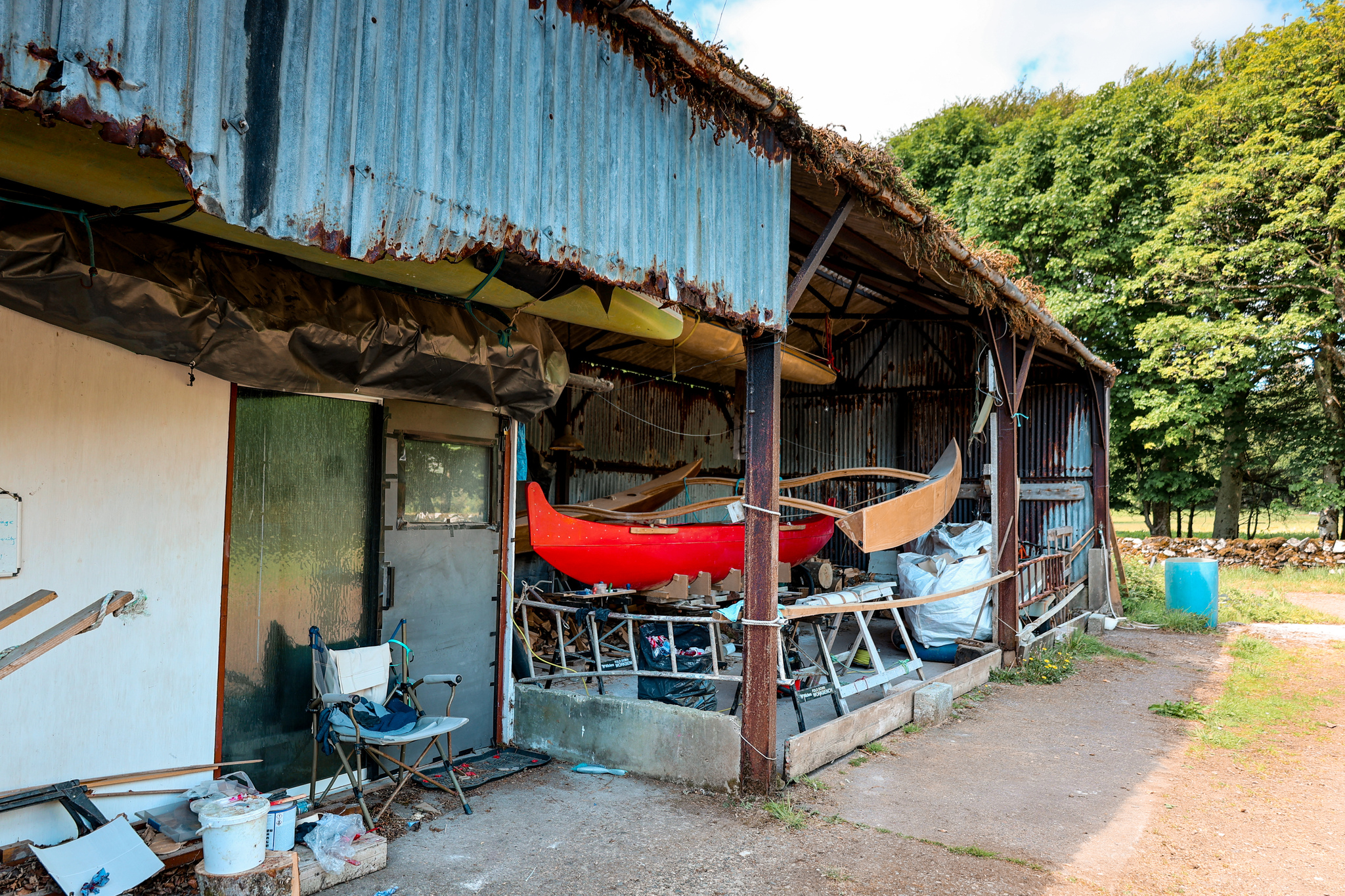

4.
At the boat workshop, take the track going off to your right-hand side. Head through the gate and into a farmer’s field. Follow the footpath through two farmers’ fields until you reach the shoreline.

5.
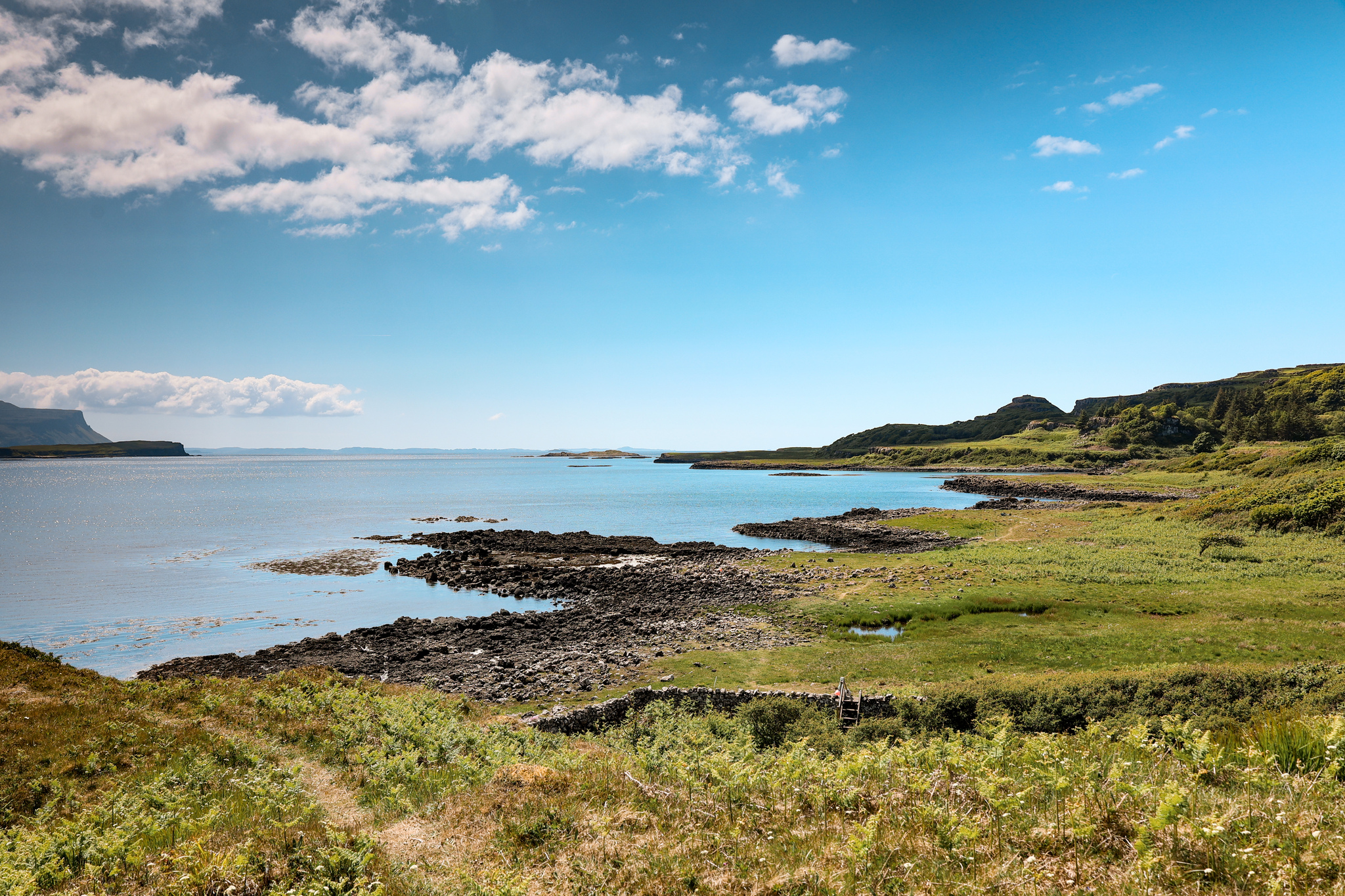
Turn towards your left-hand side onto the shore path and follow it until you reach a stile.
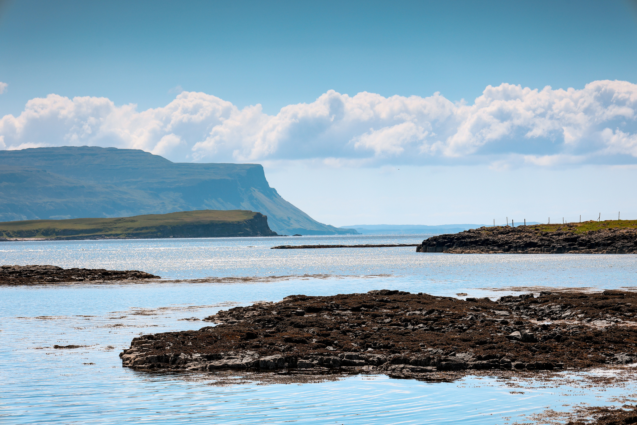

6.
Head over the stile and follow the path as it leads you up and away from the shore and into the woods.
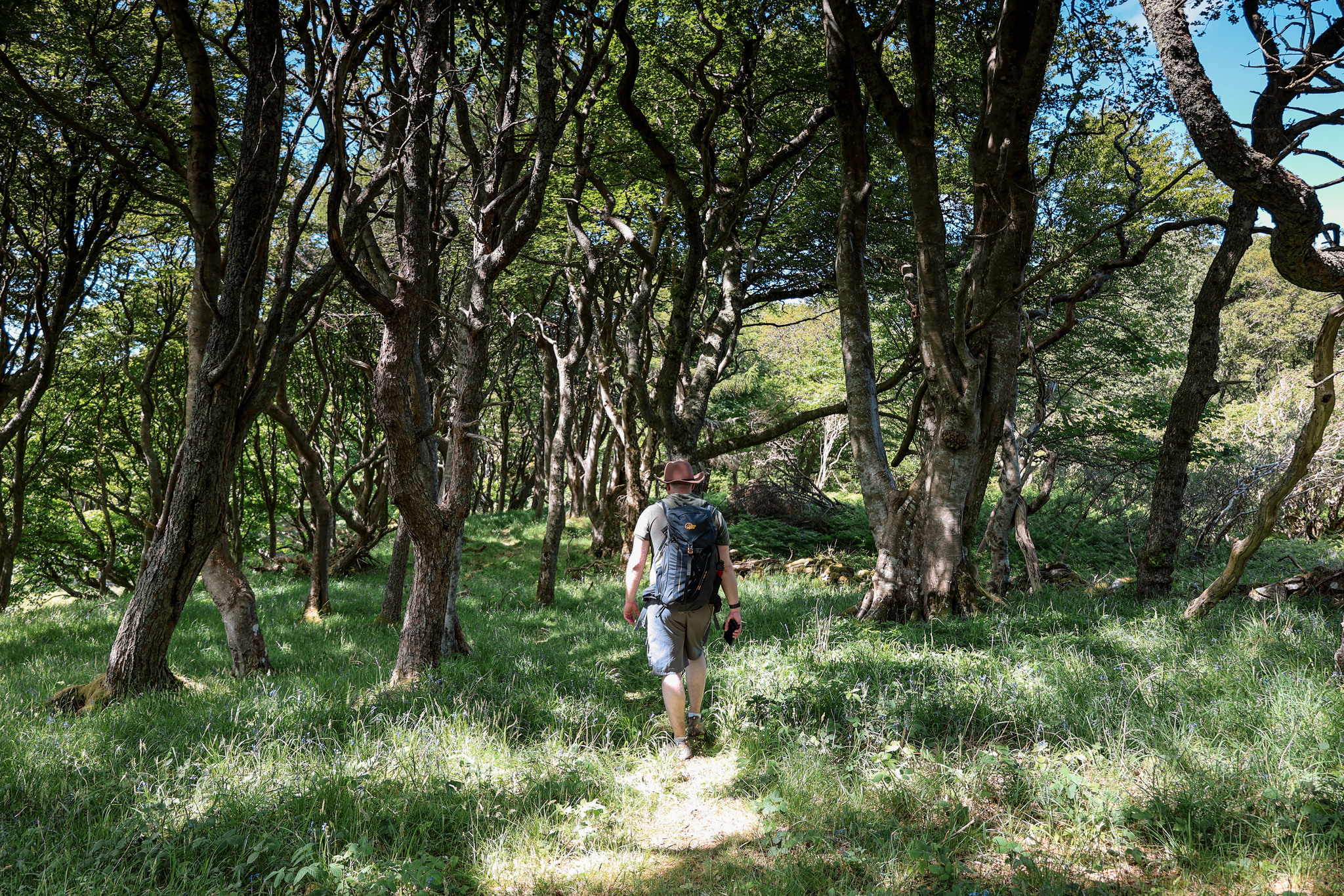
7.
Follow the path through the woods along the Woodland Path, until you reach a farm track.
8.
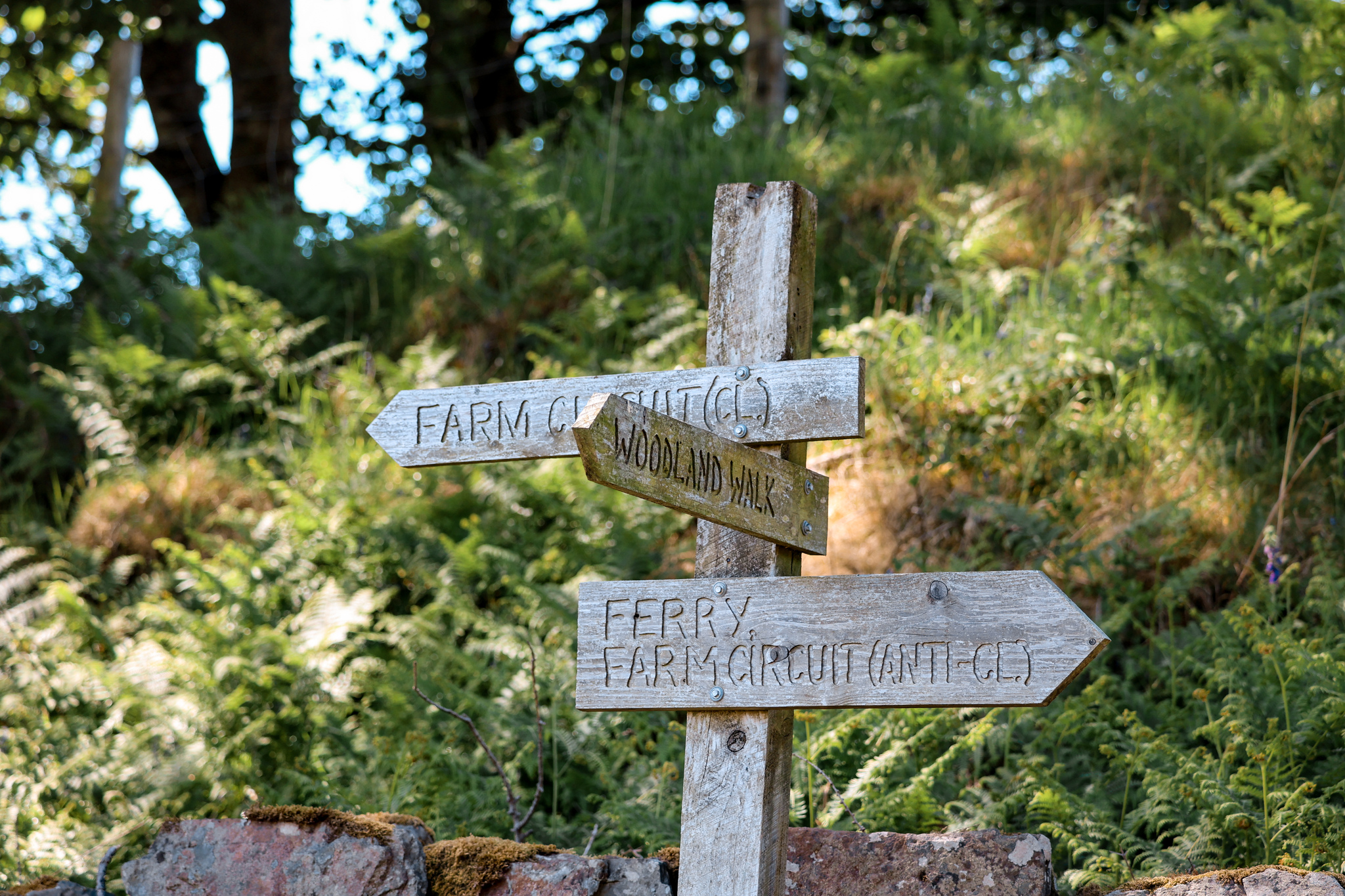
Turn to your right-hand side onto the farmer’s track, signposted Ferry/Farm Circuit. Follow the track until you reach a junction.
9.
At the junction, take the track going off to your right-hand side. Follow the track until you reach a second junction. Here, turn to your right-hand side, and follow the track to the Boathouse Restaurant and the ferry port, where you started the walk from.


To see this day in action, head over to our YouTube channel, where we have a full vlog of the day: https://youtu.be/1PAX1FNYLY0
If you would like to be notified when any new travel guides goes live, straight to your inbox, please subscribe here:
(don’t forget to check your junkbox for the confirmation e-mail!)
Further Reading
Enjoyed this walk? Why not check out some of my other Isle of Mull hiking guides: https://livingwiththewolf.co.uk/category/isle-of-mull/