
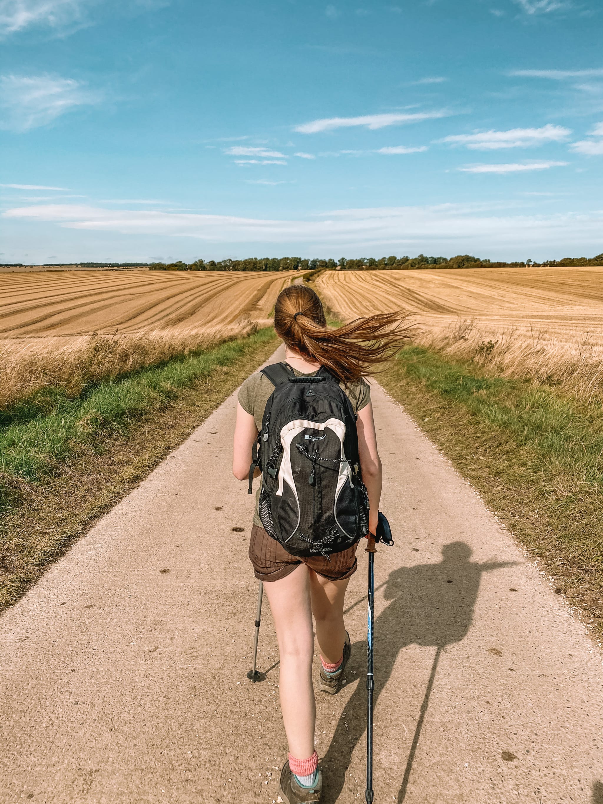
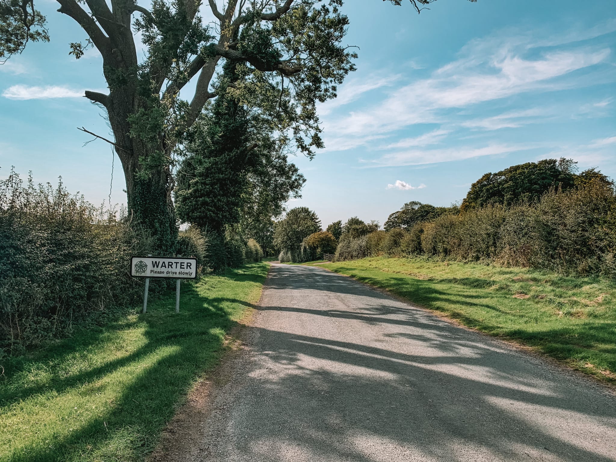
Hiking in the picturesque countryside of Warter is a must-do hike! The hike is a gentle 8.4-mile hike, starting and finishing in the village Warter. It shows off some of the most scenic spots in the whole of the Yorkshire Wolds. Just avoid shooting season as part of this route goes along the area they use for shooting. Shooting season normally runs between the 1st of October and the 1st of February. However, the rest of the year, when the shooting clubs are not out, the walk is a very quiet walk. We only passed one group of walkers on the whole entire root! We did the walk on a beautiful Sunday, in September. A day when you would expect to see more walkers out!
Location
The walk starts and finishes in a town called Warter, 4-miles east of Pocklington.
If you are driving using your Satnav, use this postcode: YO42 1XR.

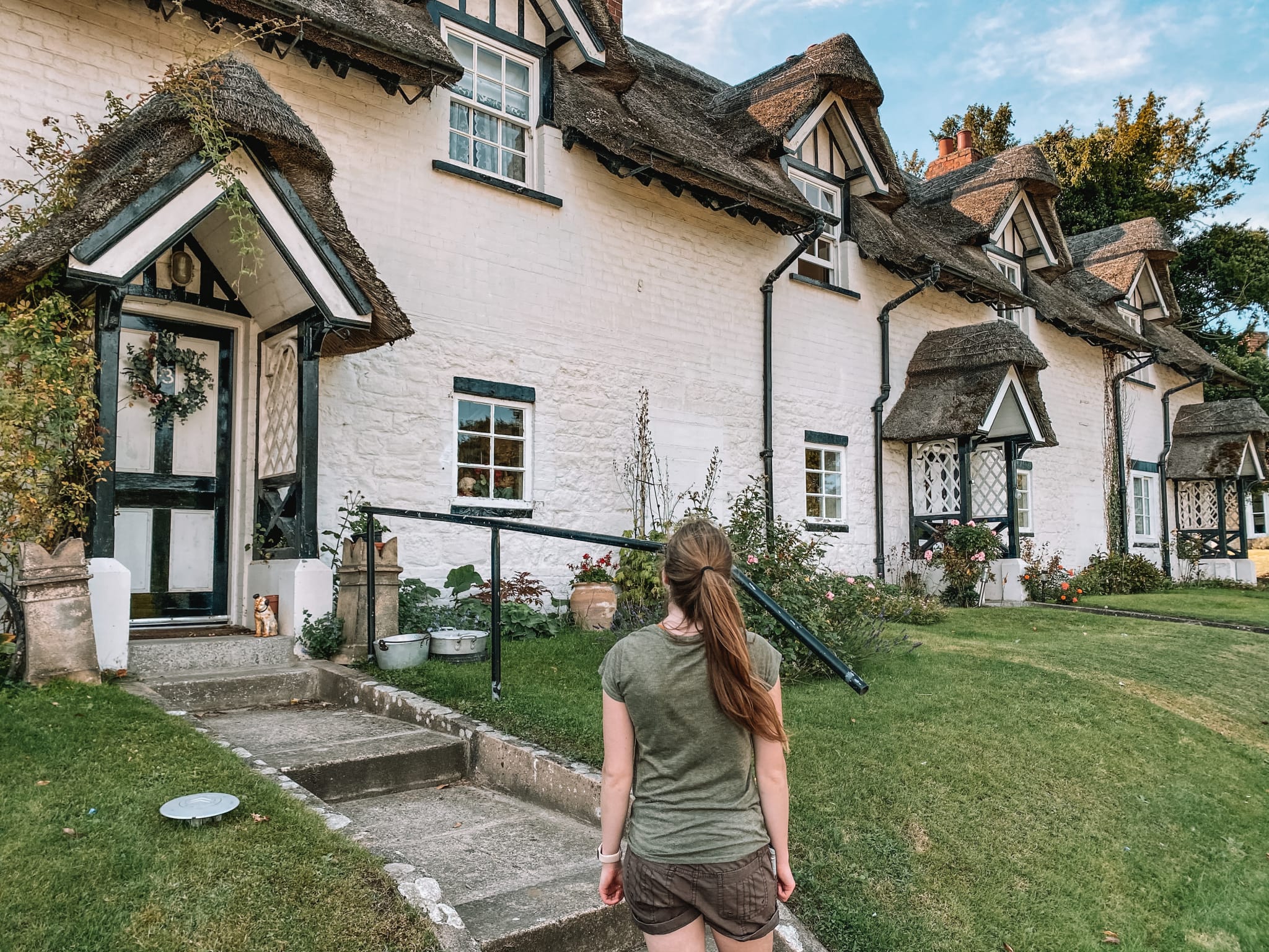
Parking
You can park anywhere in the village of Warter, just as longs as you are not blocking somebody’s driveway. We visited on a nice sunny weekend, and there was plenty of parking.

The Route
Follow this map, as you walk the route, you shouldn’t get lost! Make sure your location is turned on and you should be able to see exactly where you are, on this map. Or if you prefer, download the GPX file and use it on your choice of route tracker.
1.
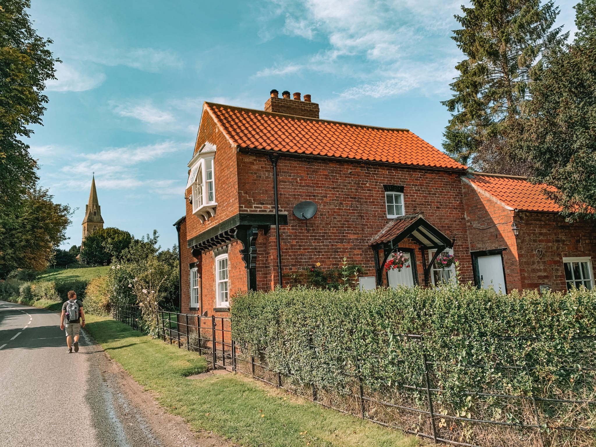
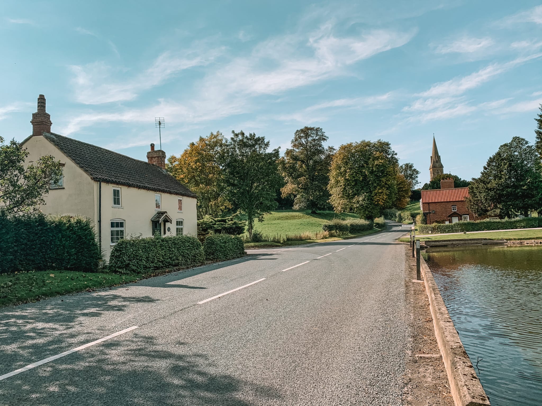
Starting in Warter, head out of the village, passing the duck pond on your left-hand side. Follow the road until you reach a footpath going off to your right-hand side, just before Towened Wood.

2.
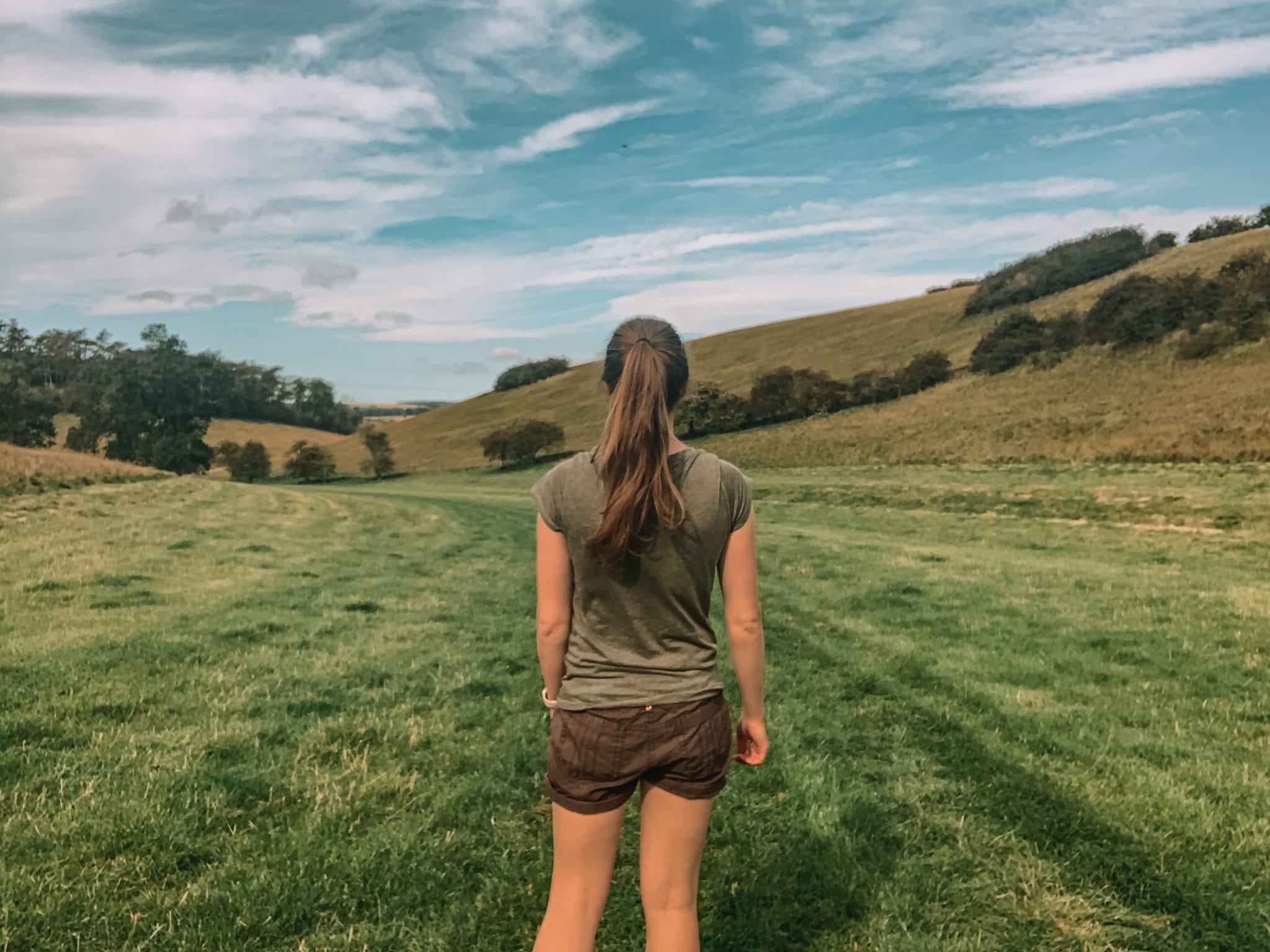
Take the path and walk along the bottom of the dry valley. Eventually, you head up onto a country lane.



3.
Take your left onto the country lane and walk a short distance before meeting your footpath, directly in front of you. Follow the footpath around the edge of the field, until you meet another country lane.



4.
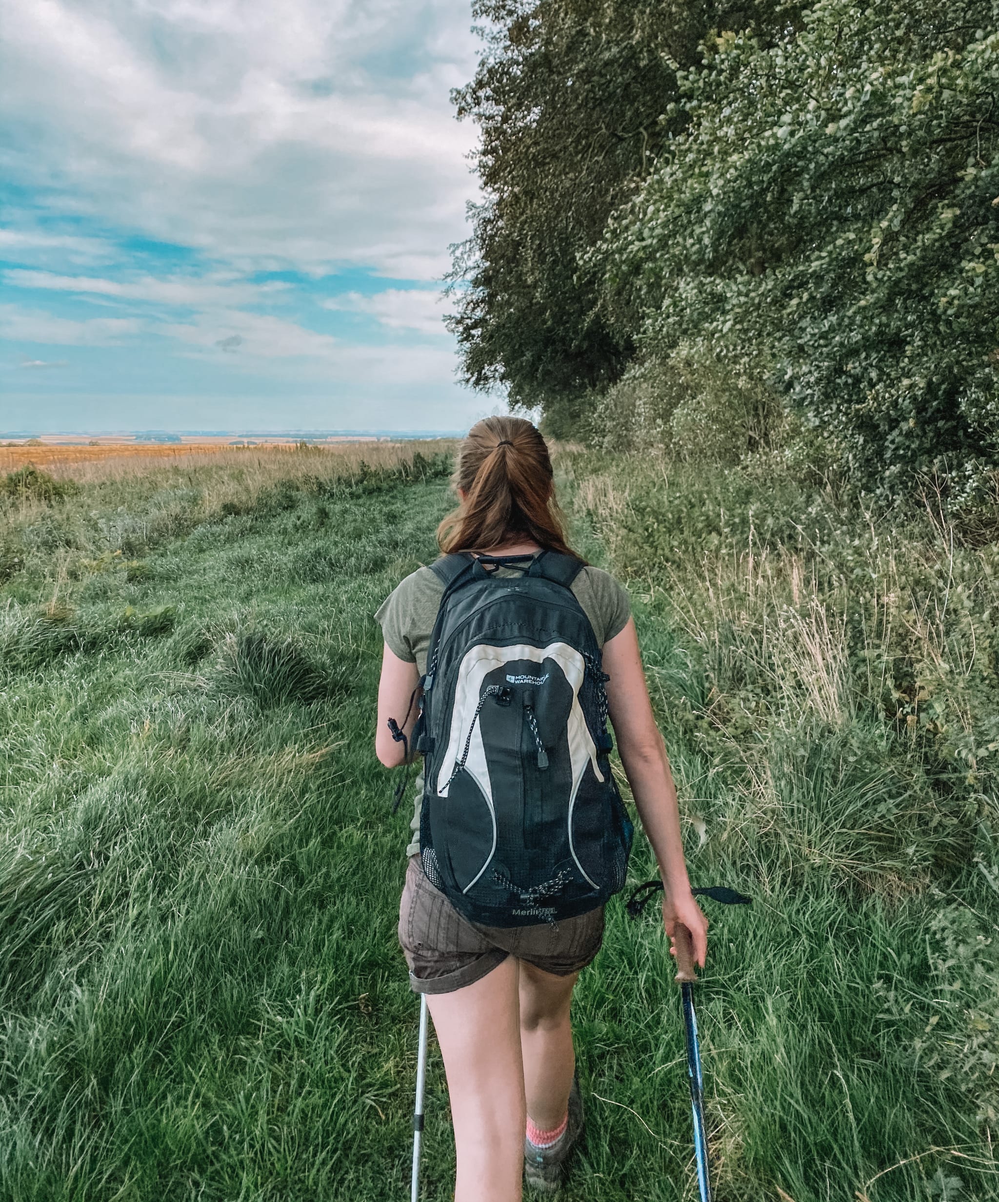
Cross over the country lane and take the footpath in front. Follow the footpath along the edge of the field until you reach the road.

5.
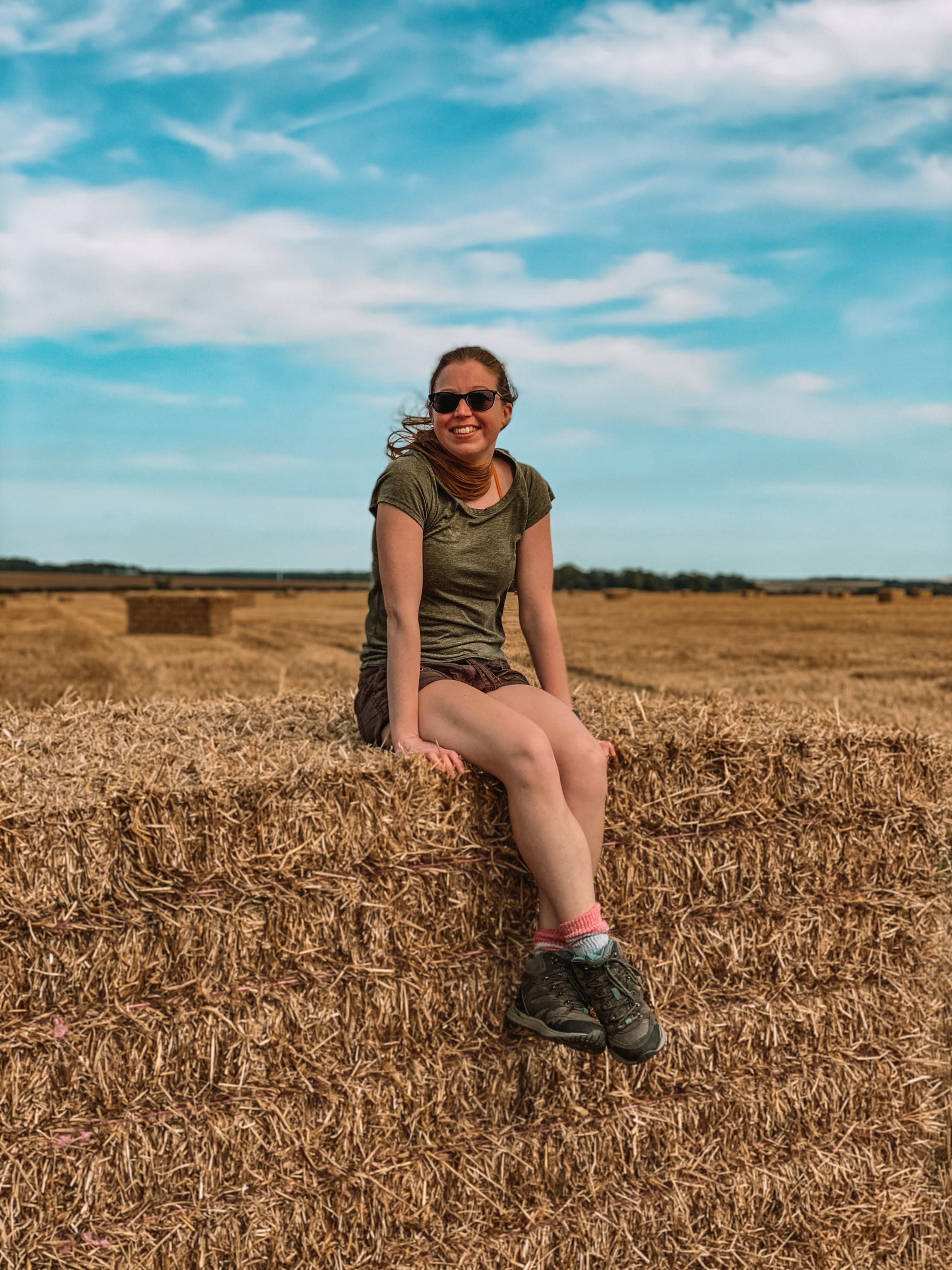
Cross over the road and follow the path up to Blanch Farm. Head through the farm, until you reach a signpost, with a wooded area on your left-hand side.

6.
Take the footpath on your left-hand side. The wooded area should be on your left-hand side as you walk along the path. The path will then steer off to your right-hand side, leading you down into the dry valley. At you reach the bottom of the dry vally, turn left and follow the path a long the bottom of the valley to you reach a sign post, marking a path off to your right-hand side, just past the wooded area.

7.
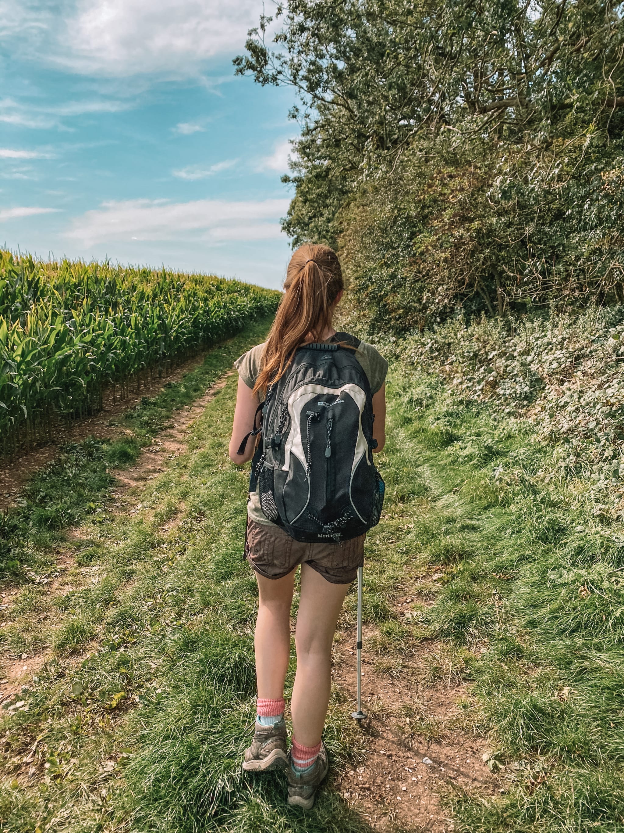
Take the path, which leads steeply up the side of the dry valley to a gate. Head through the gate and follow the path, taking you around the outsides of some fields. Evenutaly, you should reach a path junction.

8.
Turn left at the path junction and follow the path around the edge of the fields, until you reach the road. Turn left onto the road and head downhill, until you reach the main road, leading you back into Warter.


9.
Turn right onto the main road and follow it back into the village, Warter. You should see a duck pond on your right-hand side.

If you want more information on the Yorkshire Wolds, where to stay, where to eat, click on the following link: https://www.visithullandeastyorkshire.com/yorkshire-wolds/
If you are interested in more walks in the Yorkshire Wolds, head over to one of my other walking guides:


