
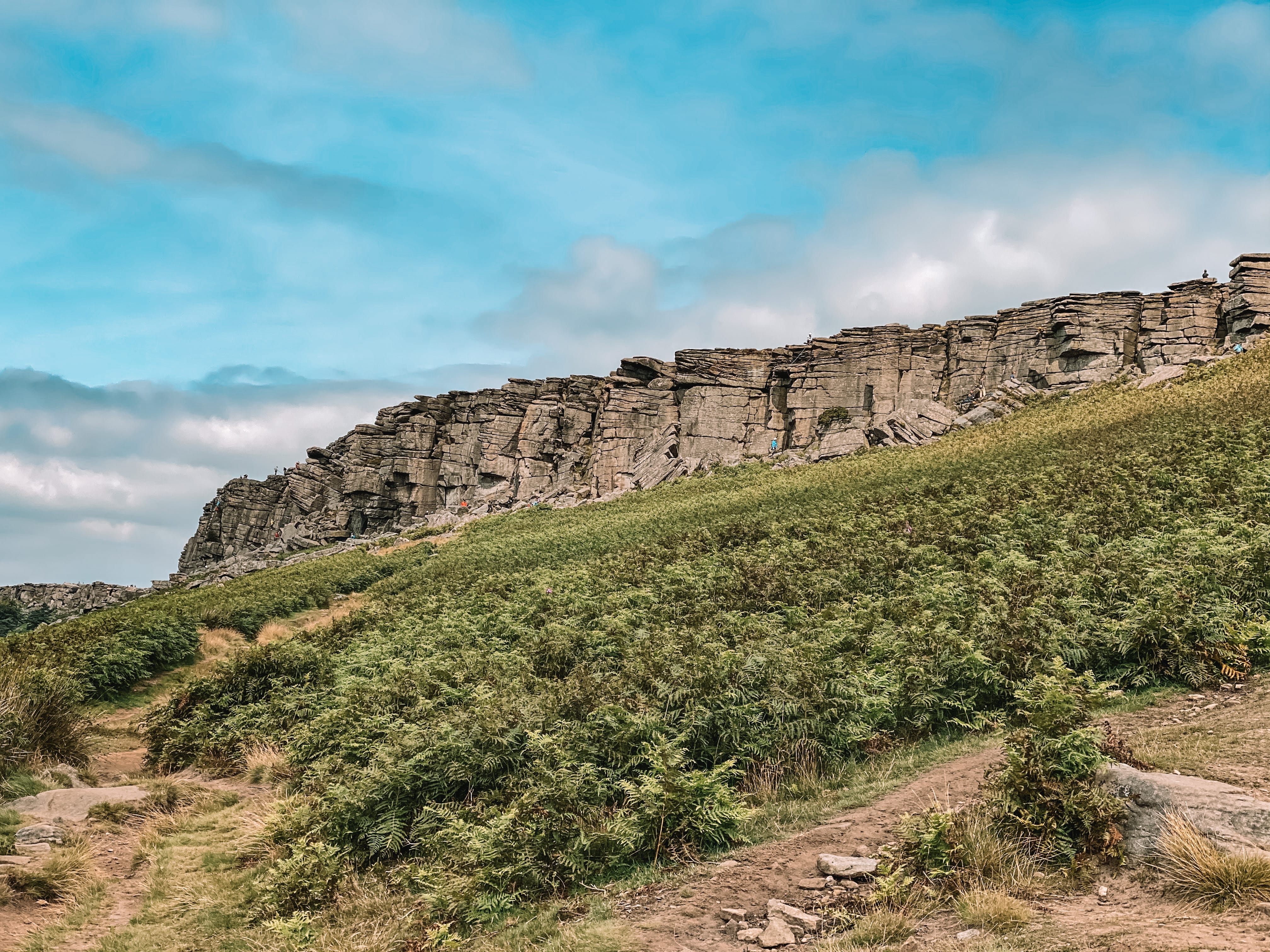
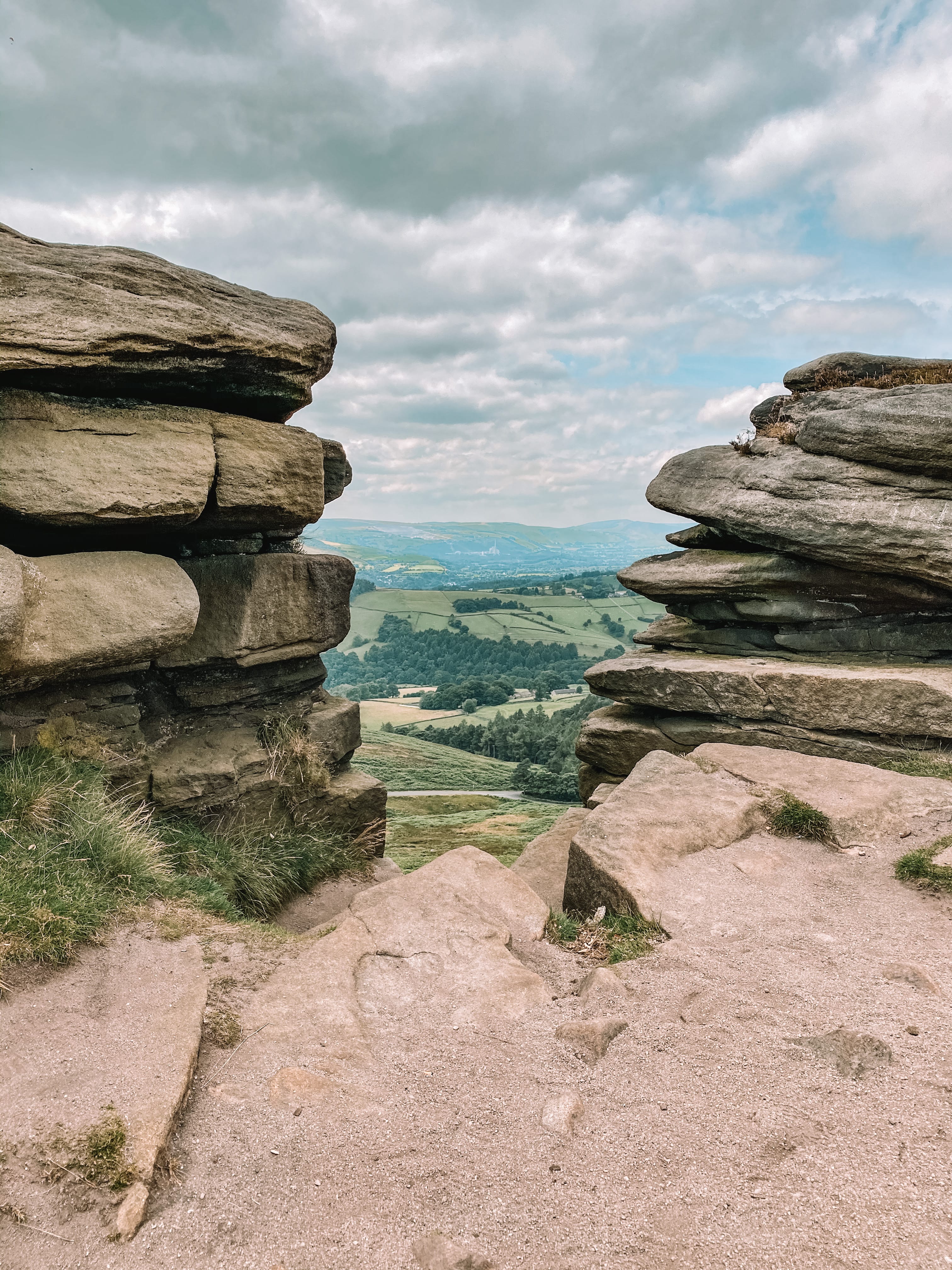
Stanage Edge is one of the most famous sights to see in the Peak District National Park. It is a gritstone escarpment, making it ideal for rock climbers. But don’t worry, walkers can still enjoy it just as much as rock climbers. We as walkers can take the footpath route up, instead of the sheer rock face! At the top of Stanage Edge, you will be rewarded with views of Derwent & Hope Valleys, Mam Tor, and Kinder Scout.
There are shorter walks you can do up Stanage Edge, in the Peak District National Park. However, if you are looking for a good day’s hike to do, this 7-mile circular walk, starting and finishing in the village, Hathersage is a ‘must-do’ walking route. This route is one of my favourite routes in the National Park. It is so picturesque, not too strenuous going, and the footpaths are well marked.
Parking
Parking spots can be very difficult to find in the village of Hathersage. My best advice is to get there early. We got there at 11 am and we were lucky to grab a space on the street, near the Hope Valley train station. We noticed the car park in the village is chargeable and was full. A lot of the street parking in the village is for 40 minutes only, so do check before parking your car.
The Route
Follow this map, as you walk the route, you shouldn’t get lost! Make sure your location is turned on and you should be able to see exactly where you are, on this map. Or if you prefer, download the GPX file and use it on your choice of route tracker.
Please follow the route anti-clockwise!
1.
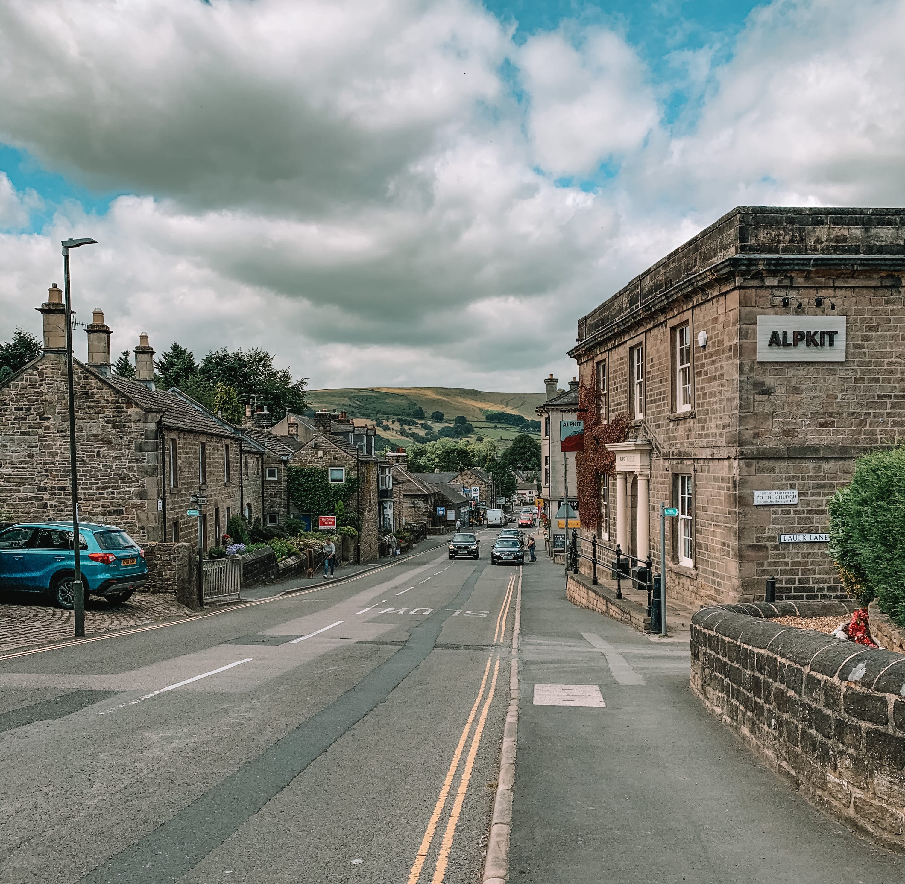
Starting on the main road through Hathersage, the A6187. Head east along the main road until you reach School Lane, on your left-hand side. Head up School Lane and onto Church Bank. At the top of Church Bank, you should see a gate leading onto a footpath. Take the footpath through Burchin Woods until you reach the road, with a house on your left-hand side.


2.
Walk along the road for a very short distance. Just before you reach the second house, you will see a footpath to your left-hand side. Take the footpath up the hillside until you reach another road.


3.
Turning to your right, walk along the road until you reach the main road, The Dale. Taking your left, head along the road, The Dale, until you reach the car park on your left-hand side. You should be able to see Stanage Edge.


4.
Walk through the car park until you reach the footpath on your right-hand side. Take the footpath up to the top of Stanage Edge. At the top, take the path on your left-hand side and walk across the ridge for about 1 mile. Perfect time to stop for your lunch and enjoy the views over the Peak District peaks and valleys.


5.
Eventually, you should reach a path junction, forking off slightly to your left, leading you downhill off the ridge. The path is called the Long Causeway. Follow the Long Causeway all the way until you reach a car park. At the car park, turn to your left and head a short distance along the road until you meet a footpath on your right-hand side.

6.
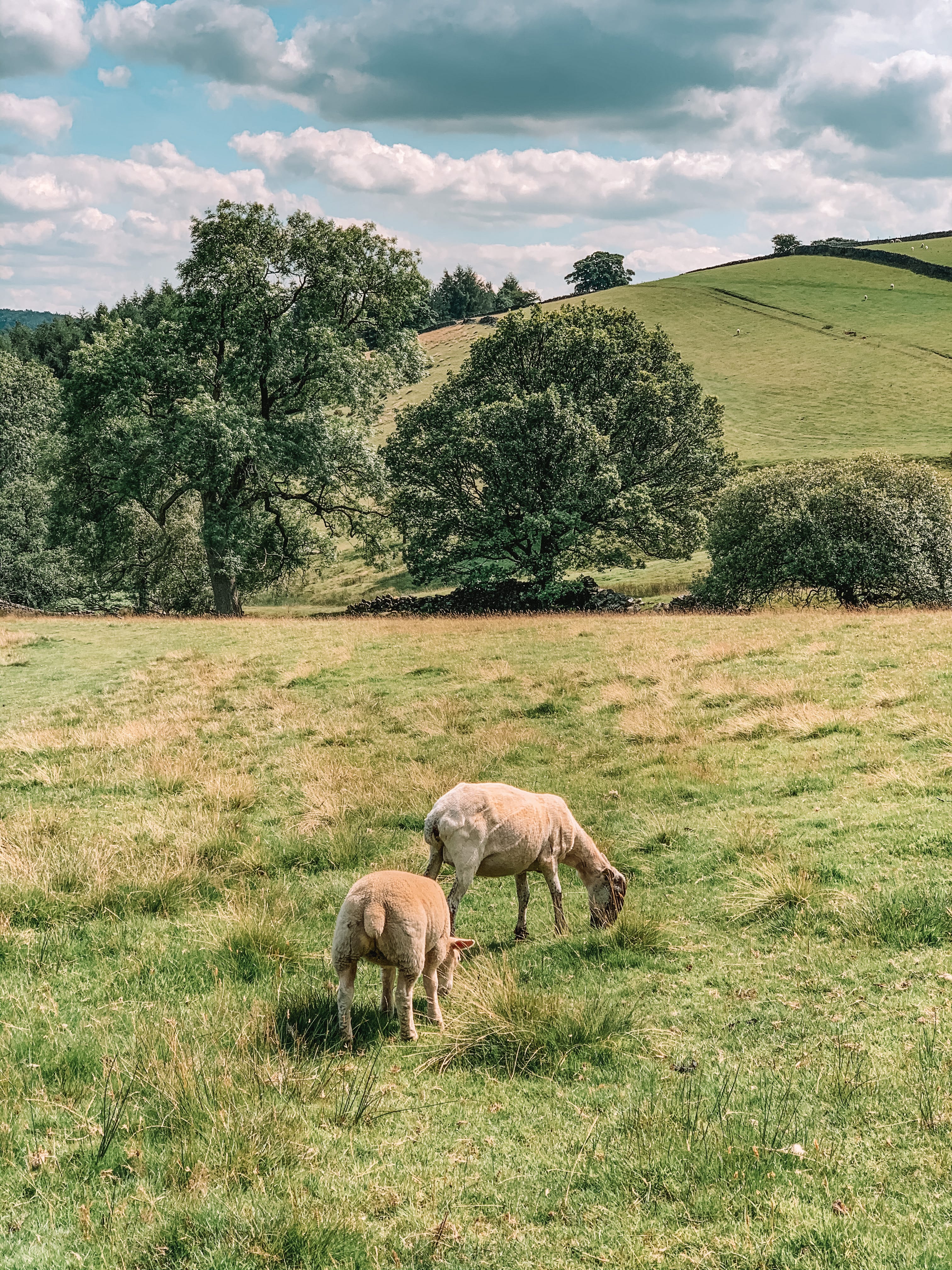
Take the footpath and follow it down to the farmhouses, crossing over a few stiles along the way. At the farmhouses, turn to your left and head towards the gate. Go through the gate and take the footpath on your right-hand side, signposted Hathersage.


7.
Follow the footpath all the way back into Hathersage, where you started the walk. The footpath will lead you across fields, through some woodland area, and onto Baulk Lane.


Enjoyed this walk and would like to do another walk in the Peak District National Park, please check out some of my other walk guides:
For more information on the Peak District National Park, please visit their website:
https://www.visitpeakdistrict.com/
Want to stay updated with new blogs? Don’t forget to subscribe by completing the form below!
(don’t forget to check your junkbox for the confirmation e-mail!)


