
If you are ticking Wainwrights or just love a good ridge walk, then this is certainly one to get added to your list! The route leads you across three Wainwrights, with incredible views along the way! Without a doubt, this is one of my favourite walks to do in the Lake District National Park!
The Old Man Of Coniston is a famous walk to do in the southern fells of the Lake District National Park. It sits at 803 metres (2,633 feet) above sea level, west above the village of Coniston and the lake, Coniston Waters.
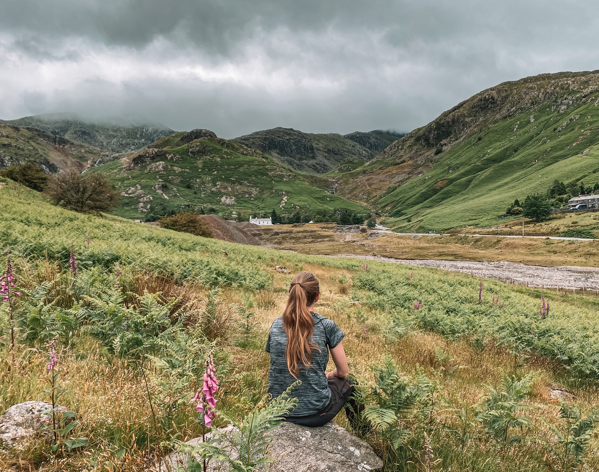
This 9.5-mile route starts in the village of Coniston. The path leads you slowly up to the summit of the Old Man Of Coniston via the disused quarries and minds. This is so interesting to see! You can see the ruins of the old buildings and the machines they use to use for mining. Just be careful you don’t trip over the cables running across your path!
Just before reaching the summit, you will pass a beautiful tarn called Low Water. A perfect lunch spot, before your final accent to the summit.
Once you’ve reached the summit, the walk then becomes a lovely ridge walk, taking you over the tops of Brim Fell, Dow Crag, Buck Pike, and Brown Pike. The Old Man Of Coniston is the highest at 803 metres (2,633 feet) and Brown Pike is the lowest at 682 metres (2238 feet).
Safety
The walk is a moderate difficulty. The paths are well-marked and are not too steep. However, correct mountain gear is required and experience in map reading is needed. If there’s low cloud present at the summit, it can be quite easy to lose your bearing and could lead you into danger!
Location
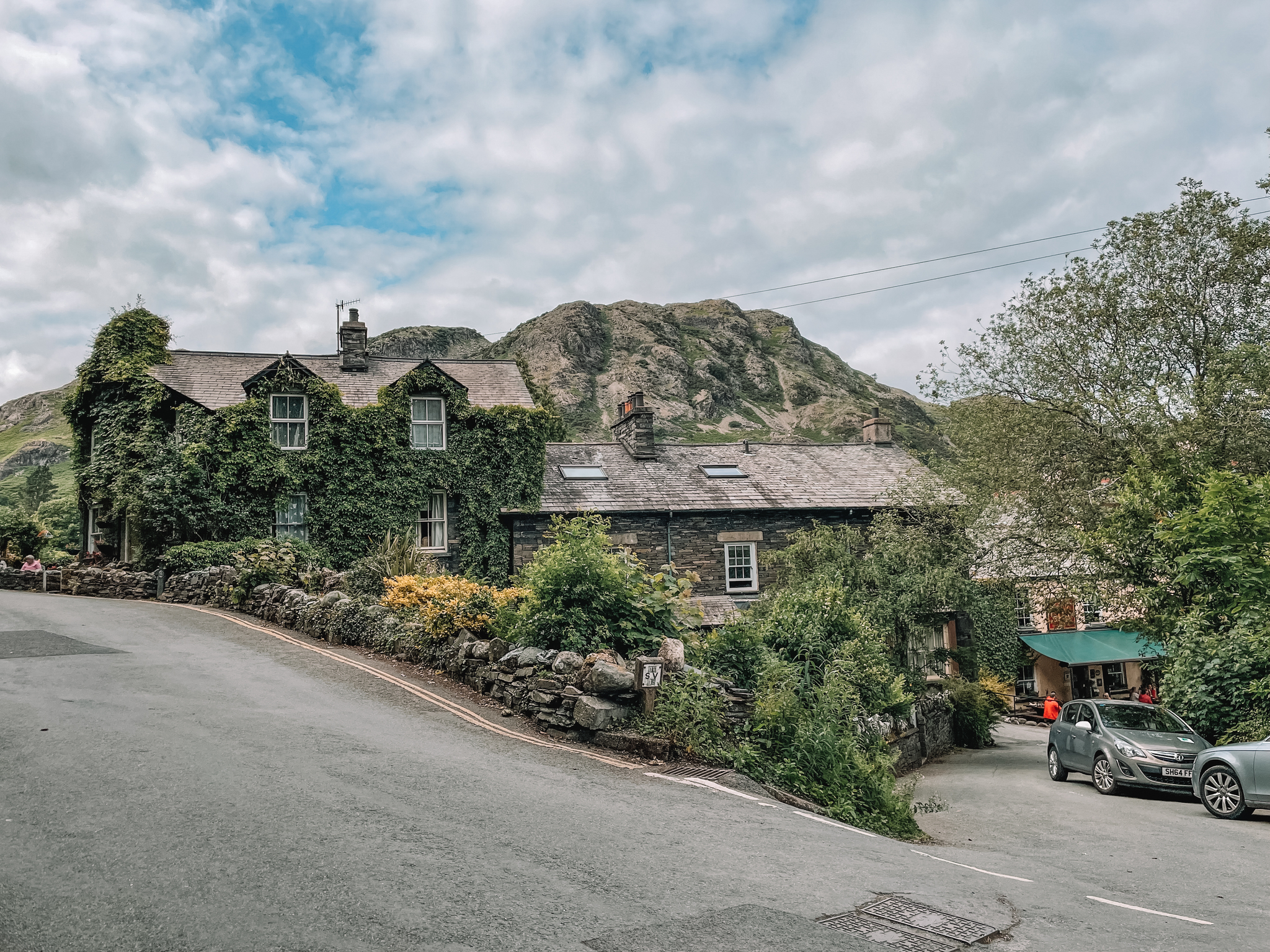
The walk starts and finishes in the village of Coniston, located in the south of the Lake District National Park, just 12 miles west of Bowness-on-Windermere.
Parking
The village of Coniston is only a small village. There are a few different car parks dotted around the area. We parked in the car park called Coniston Ruskin Avenue Car Park, next to the Coniston Tourist Information centre. My best tip is to get there early to get a parking spot!
There are other car parks, which you could park at. You will just have to adapt my route a little bit. If you want to miss out on some of the climbing, Walna Scar car park is a good one to park in, as it is located at around 170 metres above sea level. From this car park, there is a couple of different routes you can take, which join onto my route, about a mile in.

The Route
Follow this map, as you walk the route, you shouldn’t get lost! Make sure your location is turned on and you should be able to see exactly where you are, on this map. Or if you prefer, download the GPX file and use it on your choice of route tracker.
Walk the route in an anticlockwise direction.
1.
Starting in Coniston Ruskin Avenue Car Park, turn towards your left-hand side out of the car park, and then left again onto the B5285. Walk along the edge of the road and over the bridge. Take the road going off to your right-hand side, pass The Sun Hotel. You should then hopefully see a little track going off to your right-hand side. Take the track and follow it along the valley, passing a beautiful waterfall on your right-hand side, called Coniston Waterfall.


2.
Shortly, after passing the waterfall, you should see a path going off slightly to your left-hand side. Take the footpath. This footpath will lead you up the valley, zig-zagging past the disused quarry and mines, and up to the tarn, Low Water. If you’re feeling peckish, Low Water makes a perfect stop. We enjoyed our lunch here, refueling our bodies, ready for the final summit push!


3.
From Low Water, follow the footpath on the left-hand side of the tarn, as it zig-zags up to the summit of the Old Coniston Man. There is a trig marker to mark the summit. Don’t forget to snap a selfie with the trig!


4.
From the summit of the Old Man Of Coniston, head north along the path towards Brim Fell, the 2nd Wainwright. Again don’t forget to snap a selfies with the trig!


5.
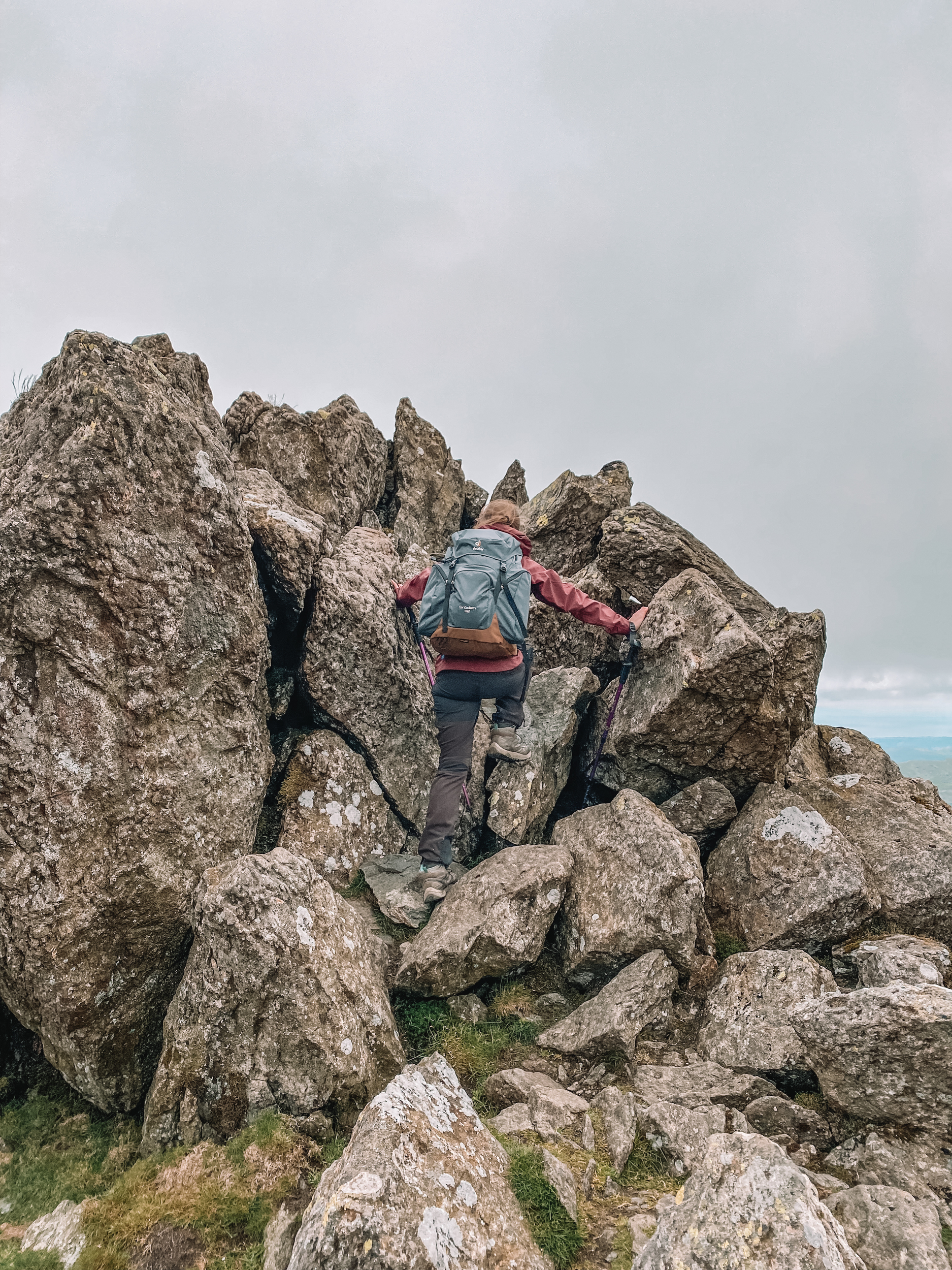
From Brim Fell, head southwest towards Dow Crag, the 3rd Wainwright of the day. As you leave Brim Fell, the path isn’t very well marked. Make sure you keep a close eye on your map, so you can make sure you are travelling in the right direction to Dow Crag. As you get off Brim Fell and onto Dow Crag, you will rejoin a well-marked path, which will lead you to the summit of Dow Crag. There isn’t a trig at the summit, just a rocky crag to scramble your way over. If you don’t fancy a bit of scrambling, you can just walk around the crag.



6.
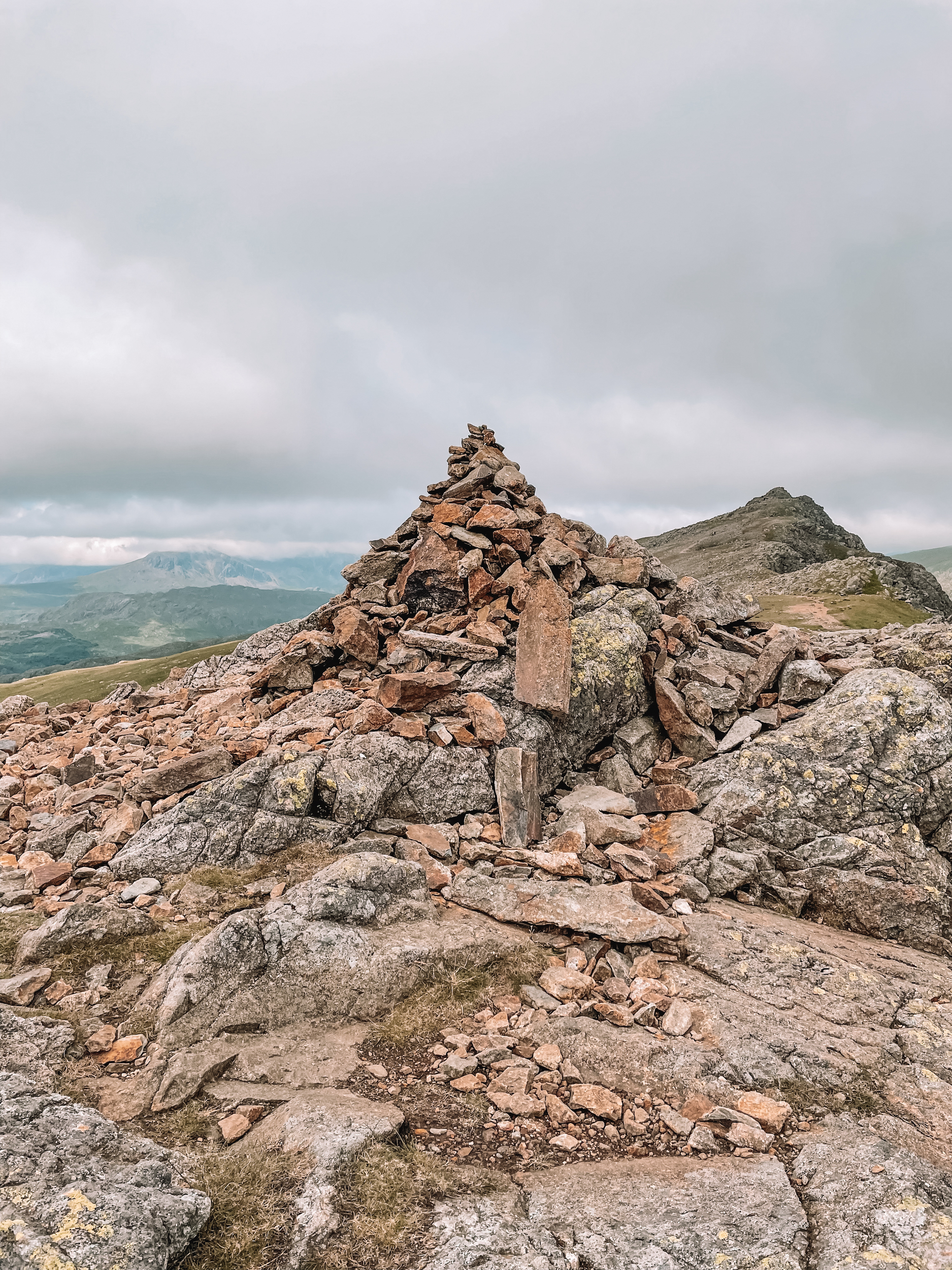
After reaching the summit of Dow Crag, carry on walking in the same direction, south along the ridge, slowing descending in height. As you travel down, you will pass over another 2 peaks: Buck Pike and Brown Pike. From Brown Pike follow the path steeply down towards the bridleway.


7.
Turn towards your left-hand side onto the public bridleway and follow it back towards Coniston, back to the car park, where you started the walk from.


Enjoyed this walk? Why not have a go at one of my other favourites:
Want to stay updated with new blogs? Don’t forget to subscribe by completing the form below!
(don’t forget to check your junkbox for the confirmation e-mail!)


