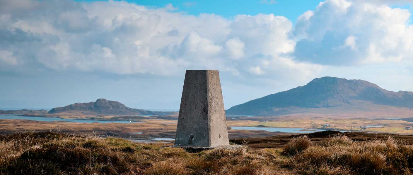
The Beinn Langais Hike is among the most famous hikes on the Isle of North Uist! After completing it myself, I can completely see why!
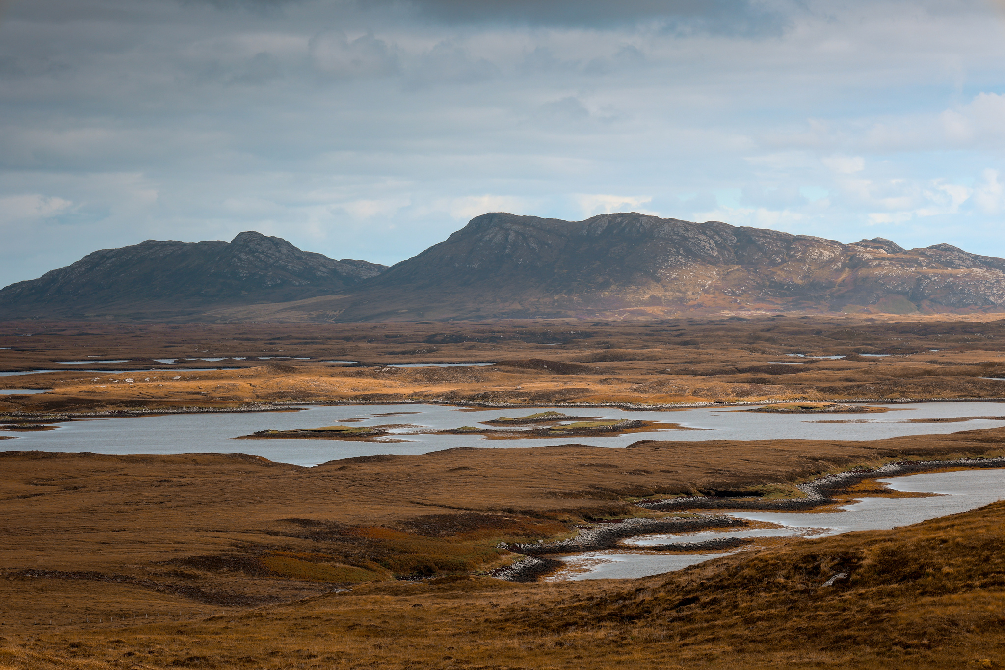
The walk is nothing too strenuous, making it a fantastic route for the whole family! The route is a lovely 2.5 miles-long circular, and the summit is only a little climb, at just 91 metres (299 feet) above sea level. The great thing about North Uist, it’s a pretty flat island. So you don’t have to climb high to get the views!
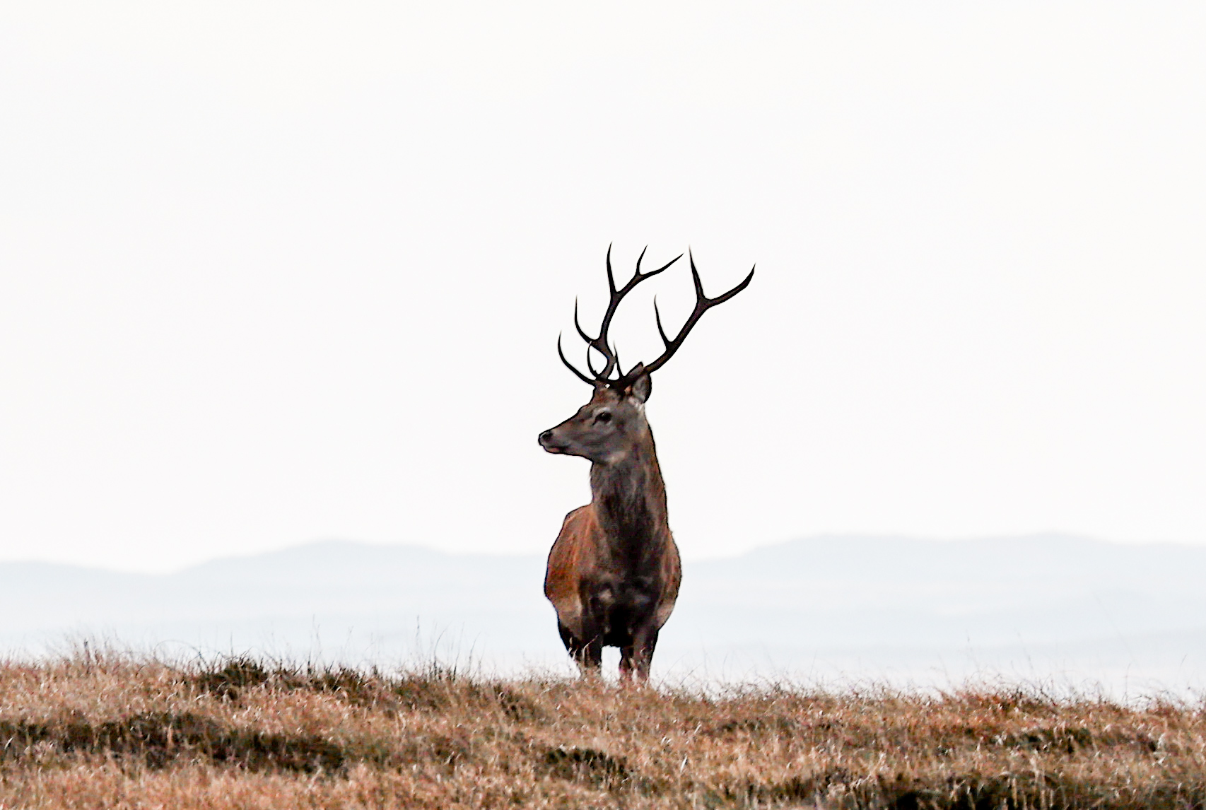
If you are lucky, you may even spot a Stag too!
Please note: this route can become very boggy and muddy in parts after a lot of rain!
Location
Beinn Langais is located just off the main ring road (A867), south of Lochmaddy, near a place called, Langais.
Parking
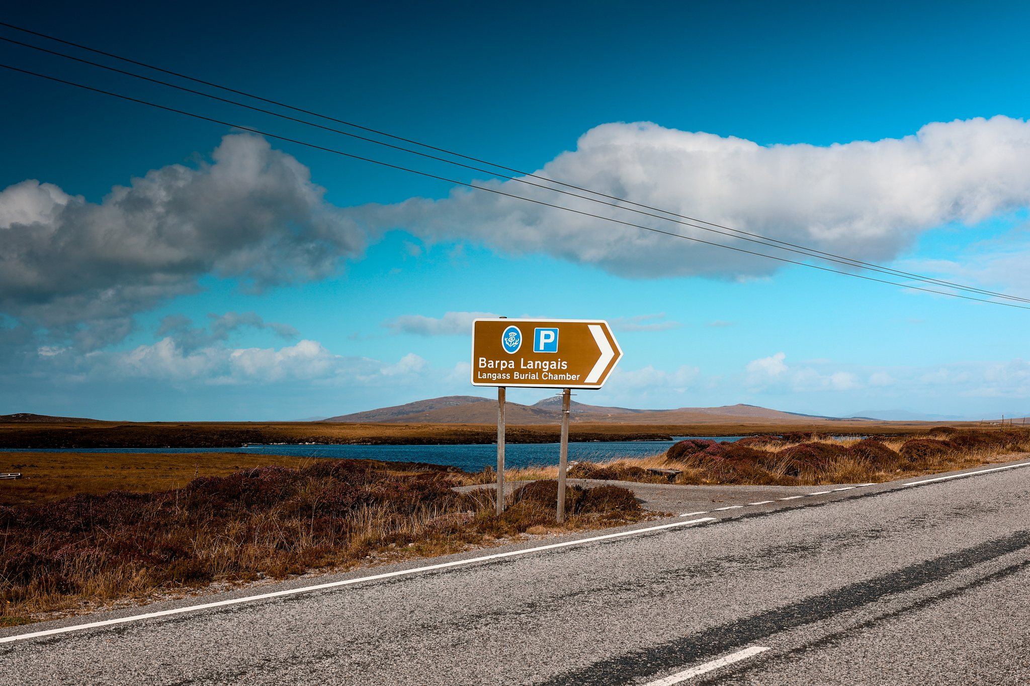
There is a designated car park at the start of the walk called, Barpa Langais Parking. It is well-signposted on the A867, coming in either direction.
SatNav: HPC3+FM, Isle of North Uist, HS6 5HA
The Route
Follow this map as you walk the route, and you shouldn’t get lost! Make sure your location is turned on and you should be able to see exactly where you are on this map. Or if you prefer, download the GPX file and use it on your choice of route tracker.
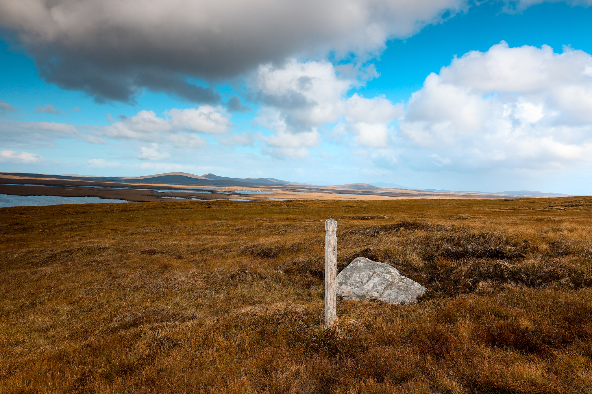
Walk the route clockwise and look out for post markers along the way, marking the route!
1.
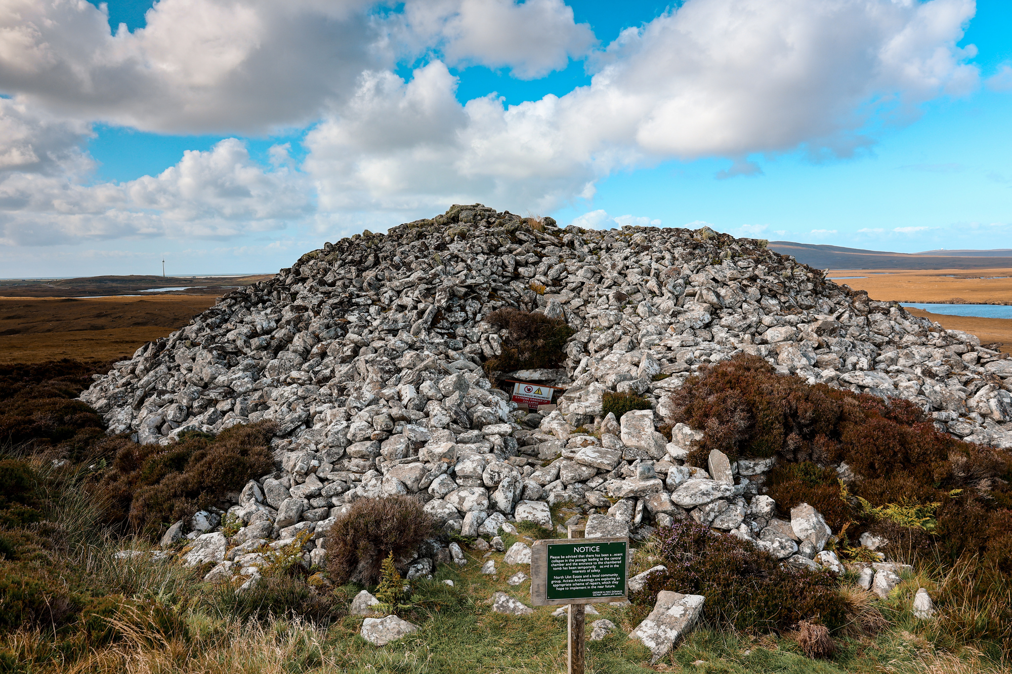
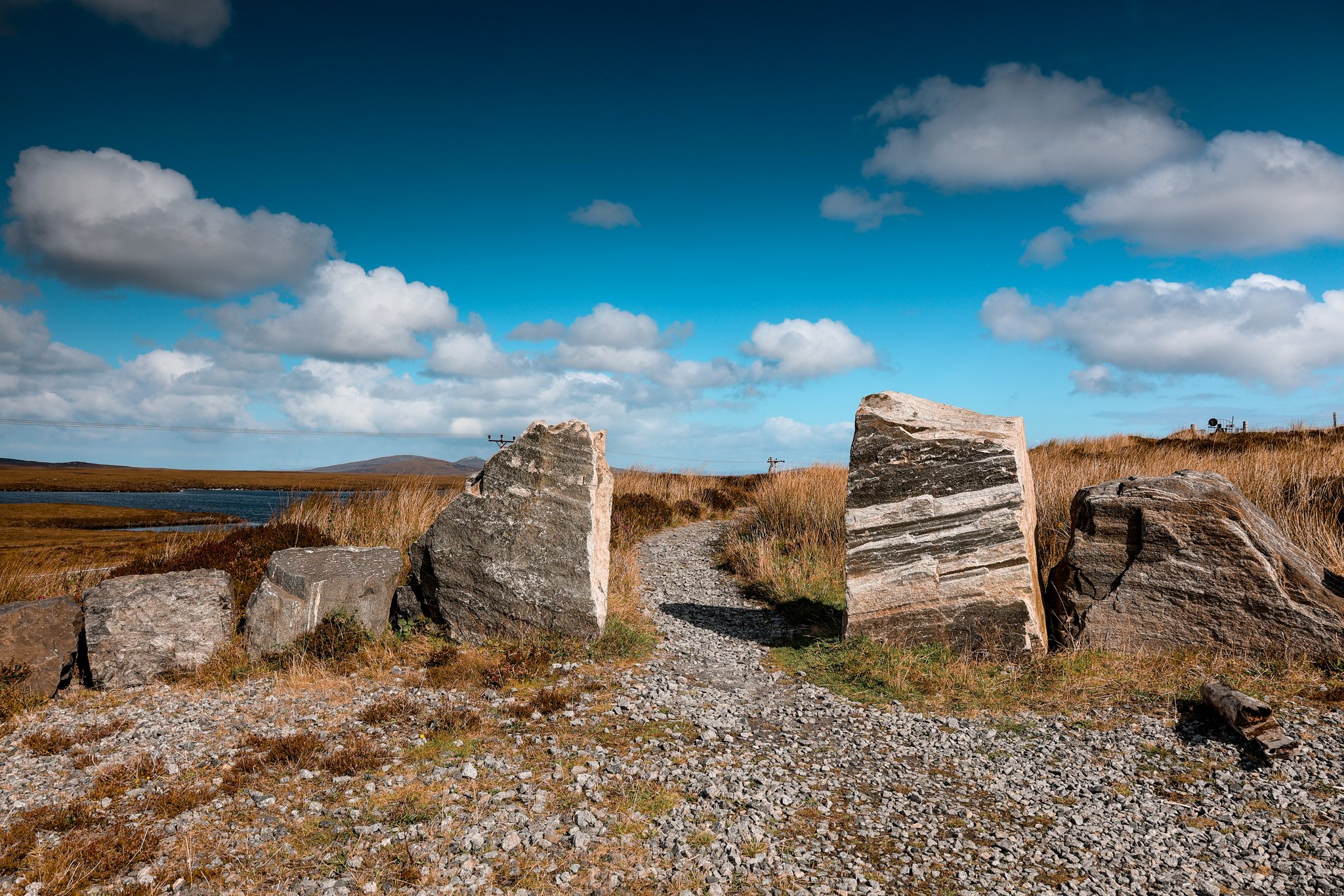
Starting from the car park, head through the two stone pillars on the northeast side of the car park. Follow the path up to a huge pile of rocks, the Barpa Langass. A 5,000-year-old chambered cairn, which is believed to be the burial place for a high chief or tribe.
2.
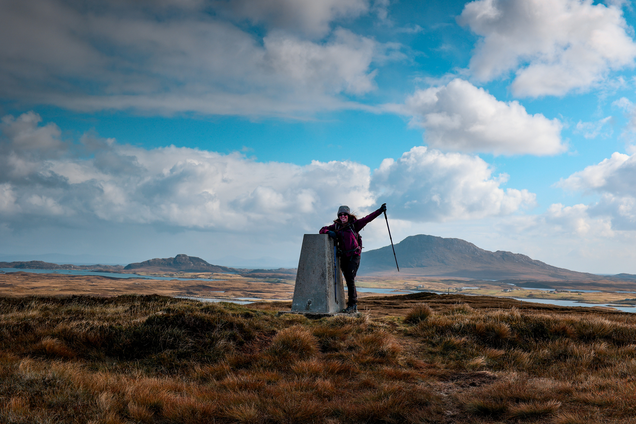
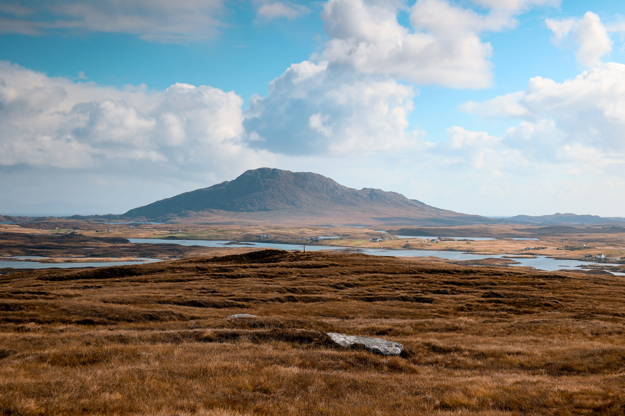
From the chambered cairn, continue along the path, leading up the hillside to the summit of Beinn Langais. As you reach the summit, you will be rewarded with some incredible views, looking over to the other side.
Please keep an eye out for the post markers, and where you are on the map, as the path can be hard to navigate at times!
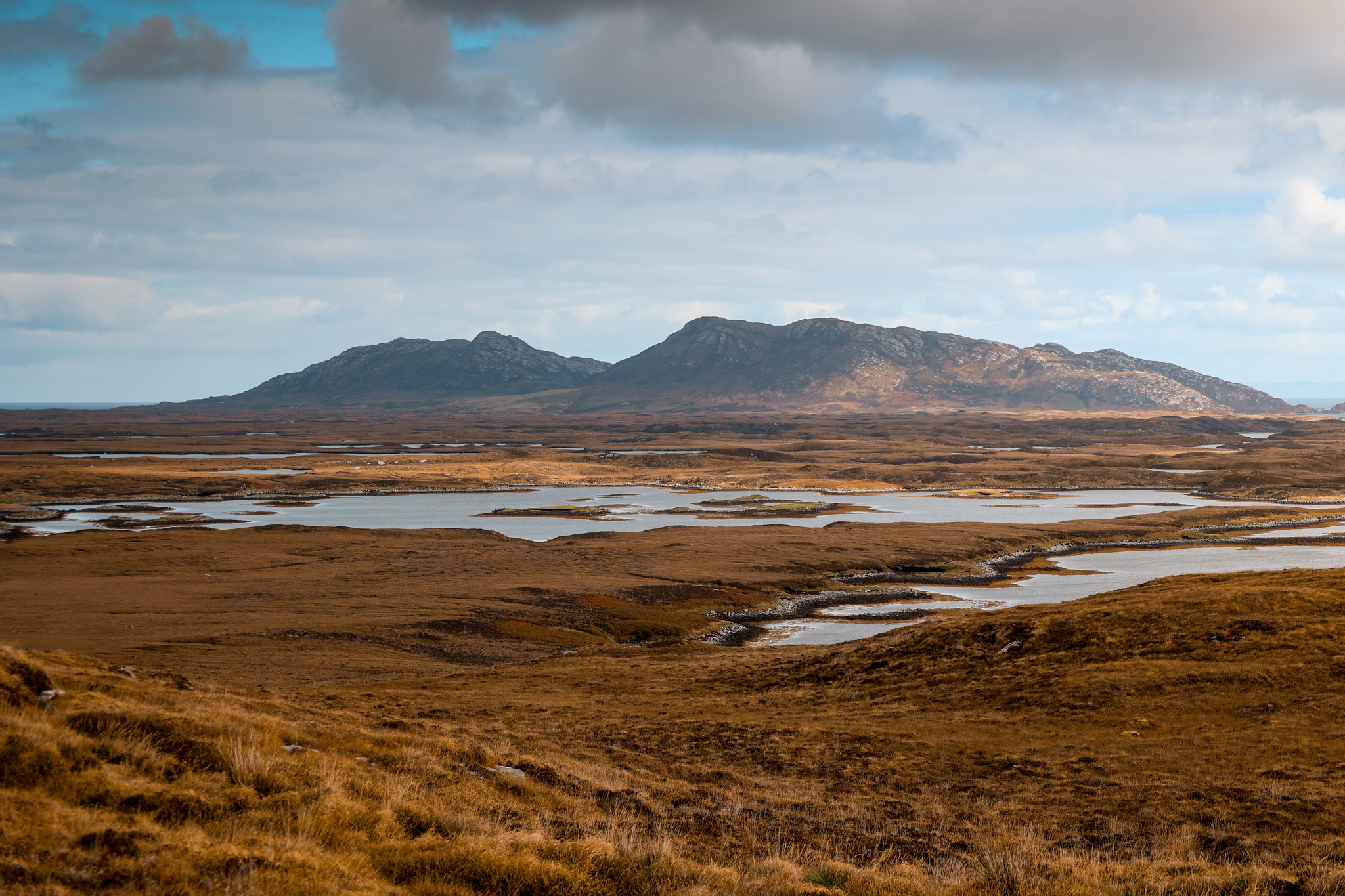
3.
Once you’ve finished enjoying the views at the summit of Beinn Langais, follow the path travelling southeast, down off the summit until you reach a path junction.
Again, please keep an eye out for the post markers, and where you are on the map, as the path can be hard to navigate at times!
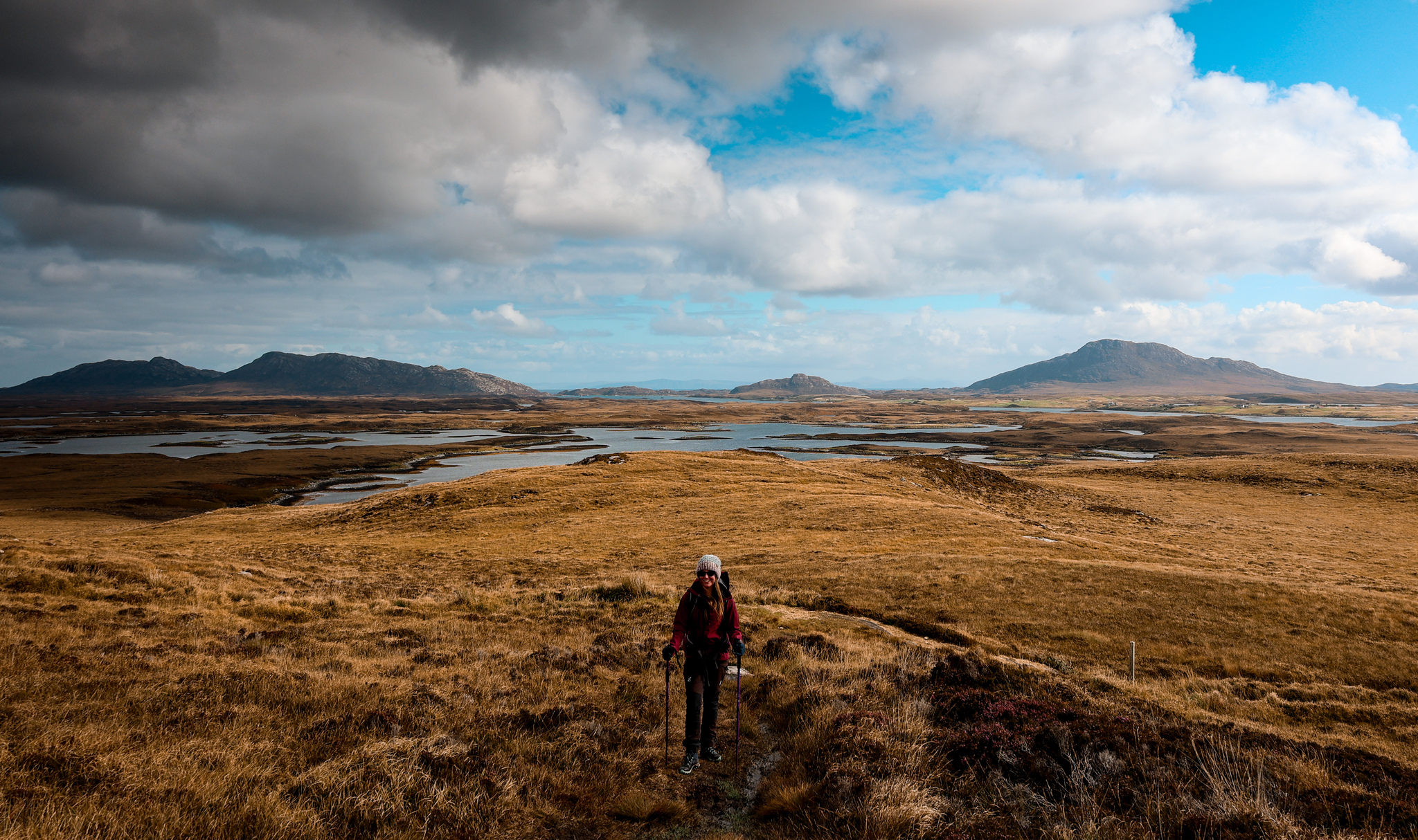
4.
At the path junction, take the path leading off to your right-hand side, and follow it down to Langass Lodge.
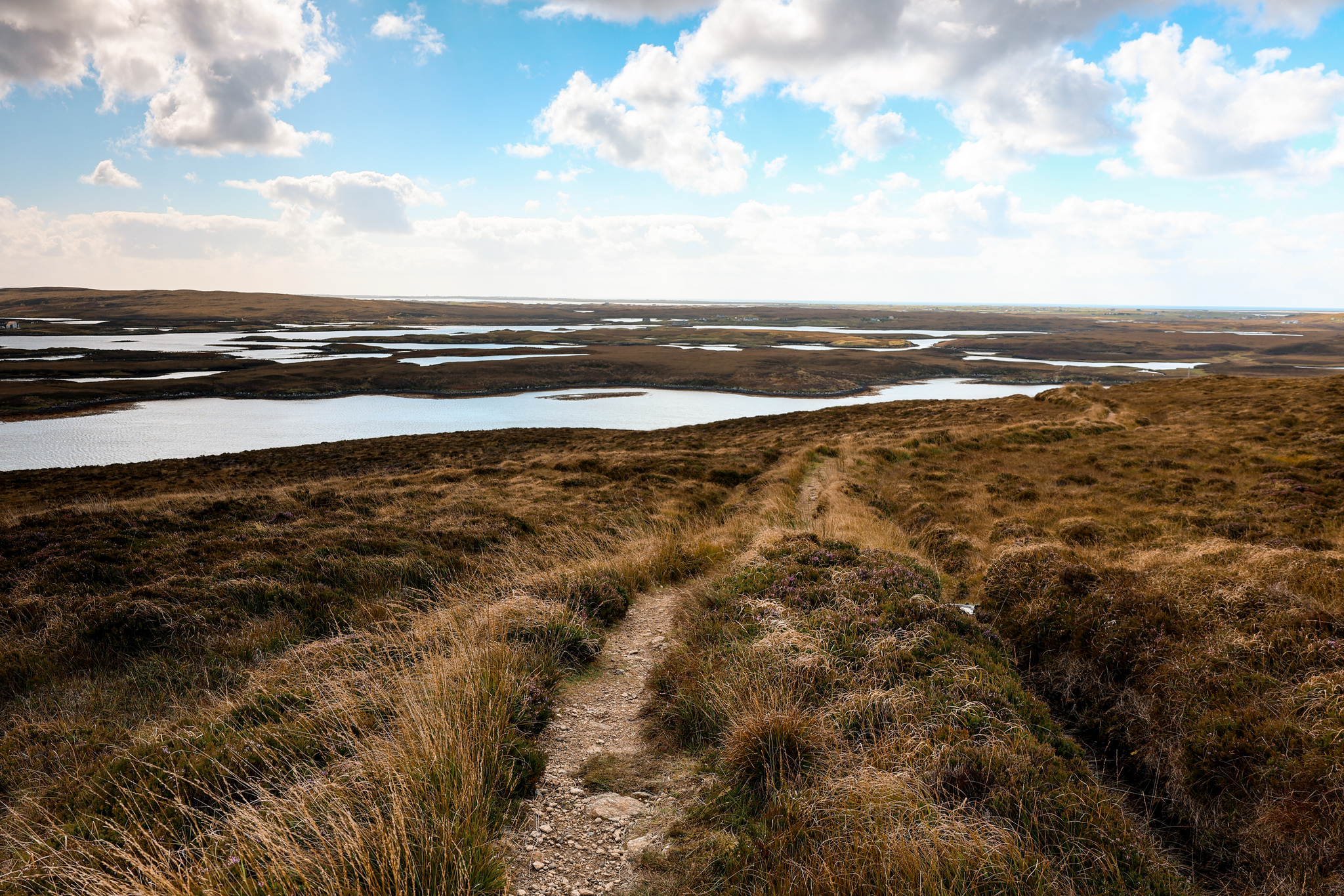
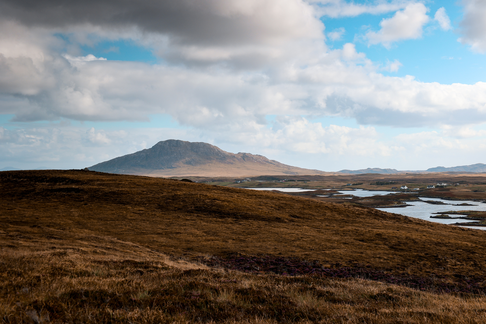
5.
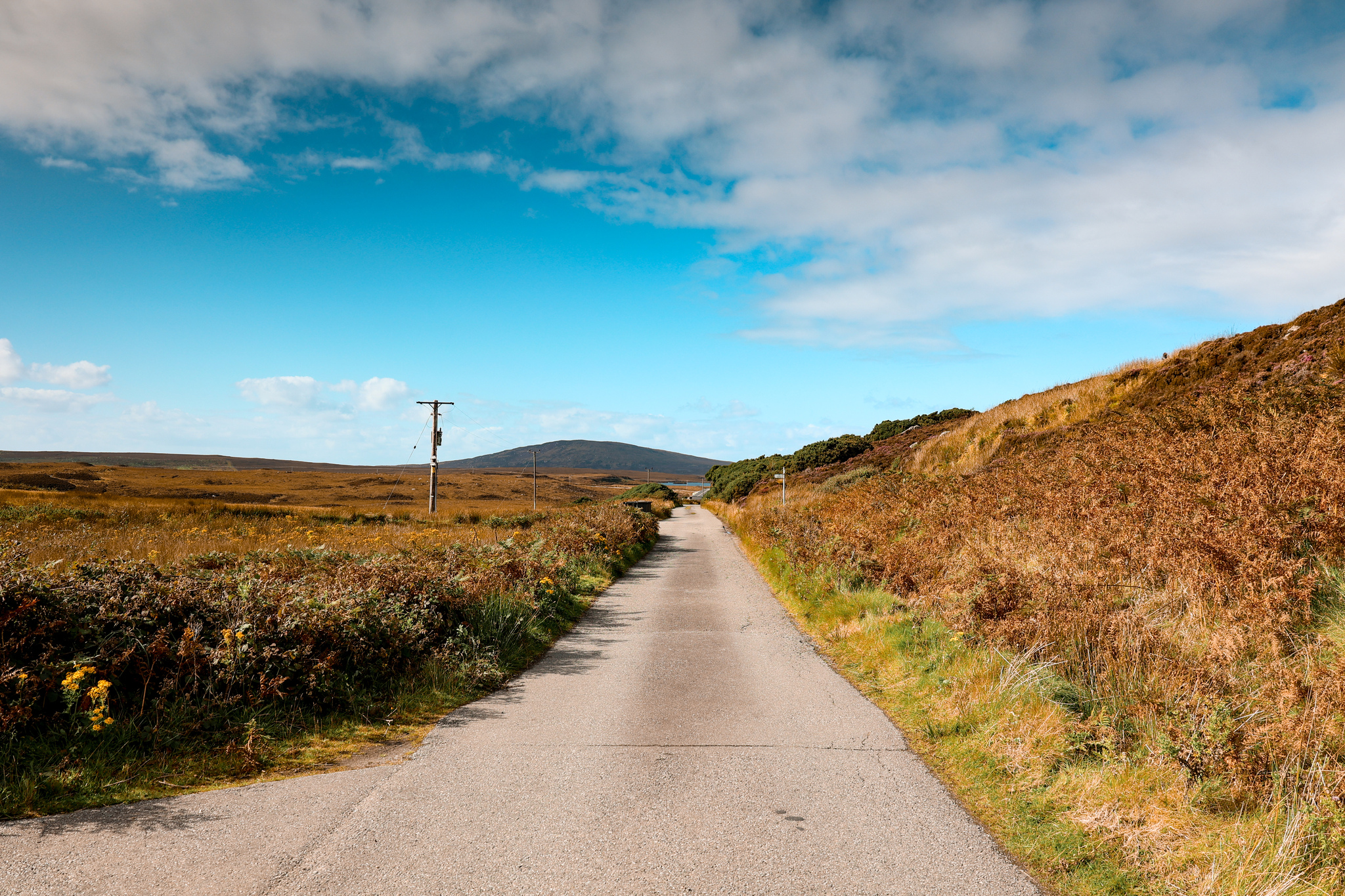
At Langass Lodge, follow the road, travelling northwest towards the A867.
6.
At the A867 road junction, turn to your right-hand side and follow the road for a very short distance, until you reach the car park. This is the car park where you started the walk.
Please be careful walking along the A867!
Further Reading
Enjoyed this walk? Why not check out some of my other walks in the Outer Hebrides: Outer Hebrides
If you would like to be notified when any new travel guides goes live, straight to your inbox, please subscribe here:
(don’t forget to check your junkbox for the confirmation e-mail!)


