Back in August 2007, with my family, I completed the famous route 1, the Icelandic ring road. It is a road that goes right around the island. We hired a car, camped for 2 weeks, gaining 4 car punctures, battled temperatures below freezing, and got kept awake by the midnight sun. The trip has left me with lots of fantastic memories, which made me want to travel back this New Year just gone.
I’ve put together my favourite spots on the route that I feel should not be missed if you are planning on driving the ring road. We did detour off Route 1 at times, allowing you to see more of what the country has to offer. Traveling the Icelandic Ring Road, anticlockwise, starting at Reykjavik, here’s the order we did them in:
Starting Point: Reykjavik
Reykjavik is the capital of Iceland and a perfect spot to start and finish Route 1 at. The airport is a 30 minutes drive from the city, located in Kelfavik.
I’m not going too much about Reykjavik on this post as I have a separate post on what to see and do in the city. I recommend seeing the city, maybe spend a day here before heading off in your car around the island. Here is my link: Reykjavik.
If you are on a budget and are self-catering on your trip, I recommend topping up with food supplies here in Reykjavik. It will be a lot cheaper than anywhere else on the route.

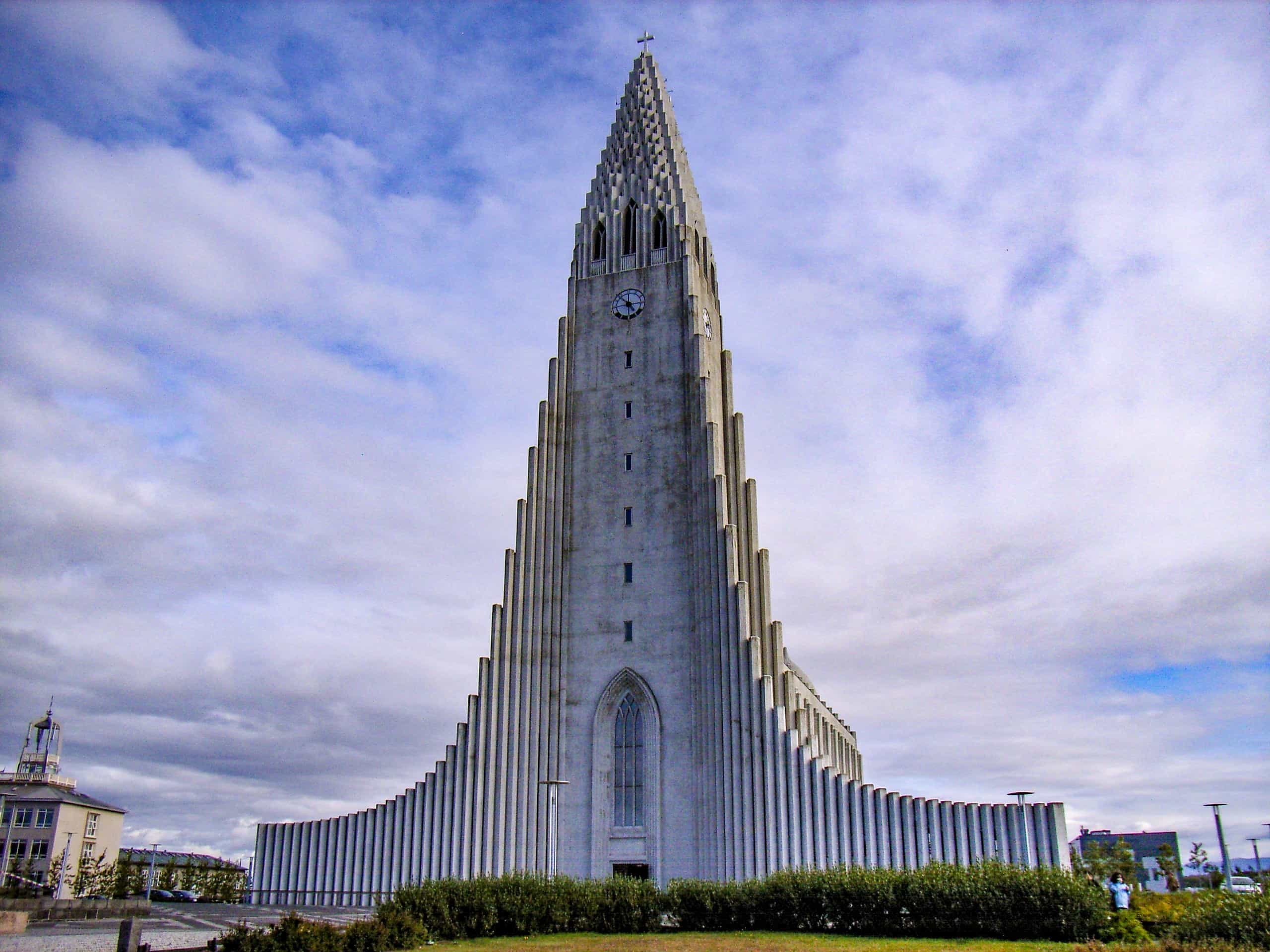

If you have some extra days to spare at the end of your trip, there is always The Golden Circle to do. I highly recommend doing it. Here is the link to my blog: Golden Circle.


We decided to incorporate the Golden Circle into our trip but instead of doing it the popular way, we decided to do it in our own way.
Here’s how we did the famous Route 1, Iceland’s Ring Road with our own detours along the way:
Reykjavik to Úlfljótsvatn
Spending very little time in the capital, Reykjavik, we headed straight out to Úlfljótsvatn, located south of Lake Thingvellir (Þingvellir). To get there we drove along part of Route 1 to Selfoss, then turned off and headed up Route 35, onto Route 36 into Thingvellir (Þingvellir) National Park. The drive takes just over an hour from Reykjavik.


Úlfljótsvatn
We decided to stay at the campsite in Úlfljótsvatn for 2 nights, as there is a lot to see and do in the area.
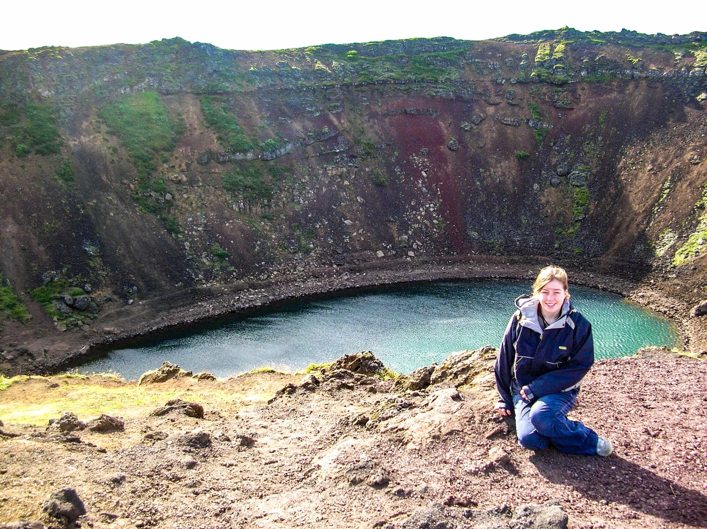
Firstly, we headed over to Kerid Crater. A 55-metres deep crater, filled with water. The crate is a popular attraction to visit when you do the famous Golden Circle route. For more information, click on the link to read my blog: Kerid Crater.
After visiting the crater, we drove along Route 32, to Thjorsardalur (Þjórsárdalur). You have to drive up a dirt track to get to the viewpoint. At the viewpoint, you see great views of the Helka Mountains and the river. We climbed up from the viewpoint, to higher grounds. This is defiantly worth doing as you get some great views.


We then drove onto Hjalparfoss, a beautiful waterfall to visit. For more information, click on the link to read my blog: Iceland’s Must-See Waterfalls.

We then drove on to the junction to Stöng. Here, we saw another beautiful waterfall, Gjarfoss and a picturesque gorge, Gjain Gorge. For more information, click on the link to read my blog: Iceland’s Must-See Waterfalls.


After a lovely walk, we got back into the car and headed onto Þjóðveldisbærinn Stöng. Located in the Þjórsárdalur Valley, just off Route 32, we visited a reconstructed Viking settlement. The original settlement believed to have got buried beneath the volcanic ash, from the 1104 volcanic eruption of Volcano Hekla. The reconstruction was built in 1974.


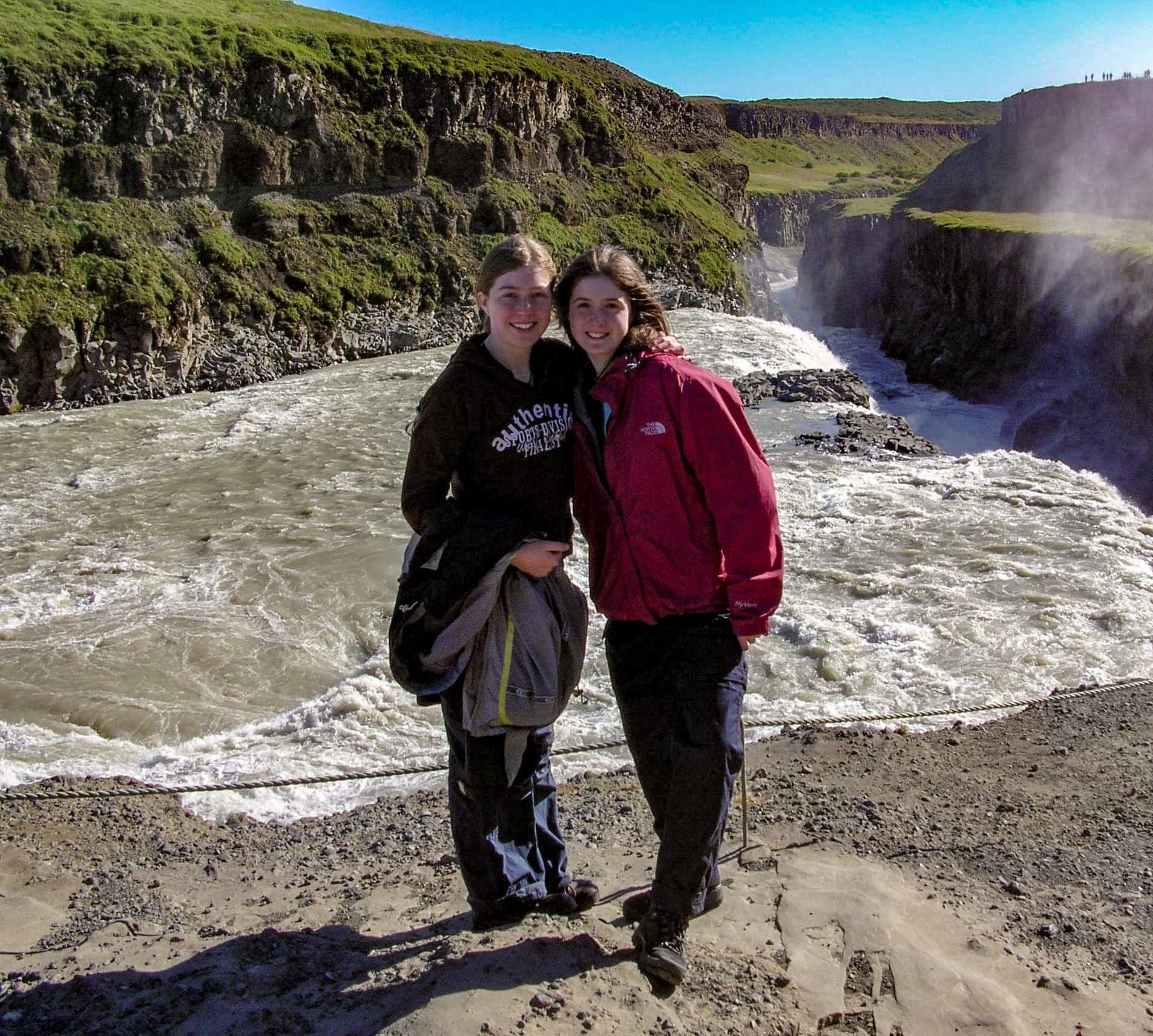
After visiting the Viking house, we drove onto Gulfoss, one of the stops of the famous Golden Circle. One very impressive waterfall! For more information, please click on the link to read my blog: Golden Circle.

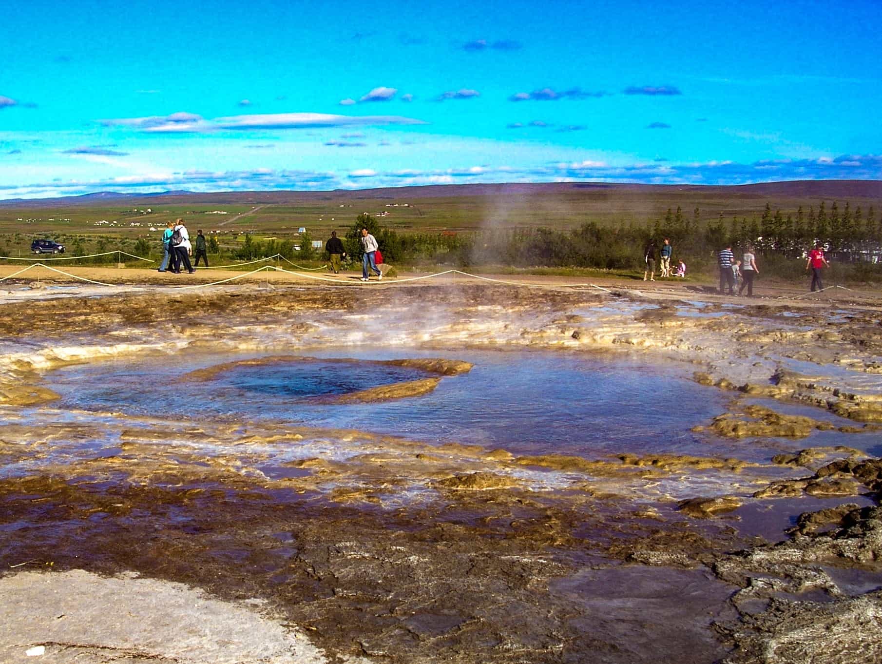
We then headed across to see the Geysir’s, another one of the stops, on the Golden Circle. We arrived in the evening when it was a little quieter. For more information, please click on the link to read my blog: Golden Circle.

Úlfljótsvatn to Vik
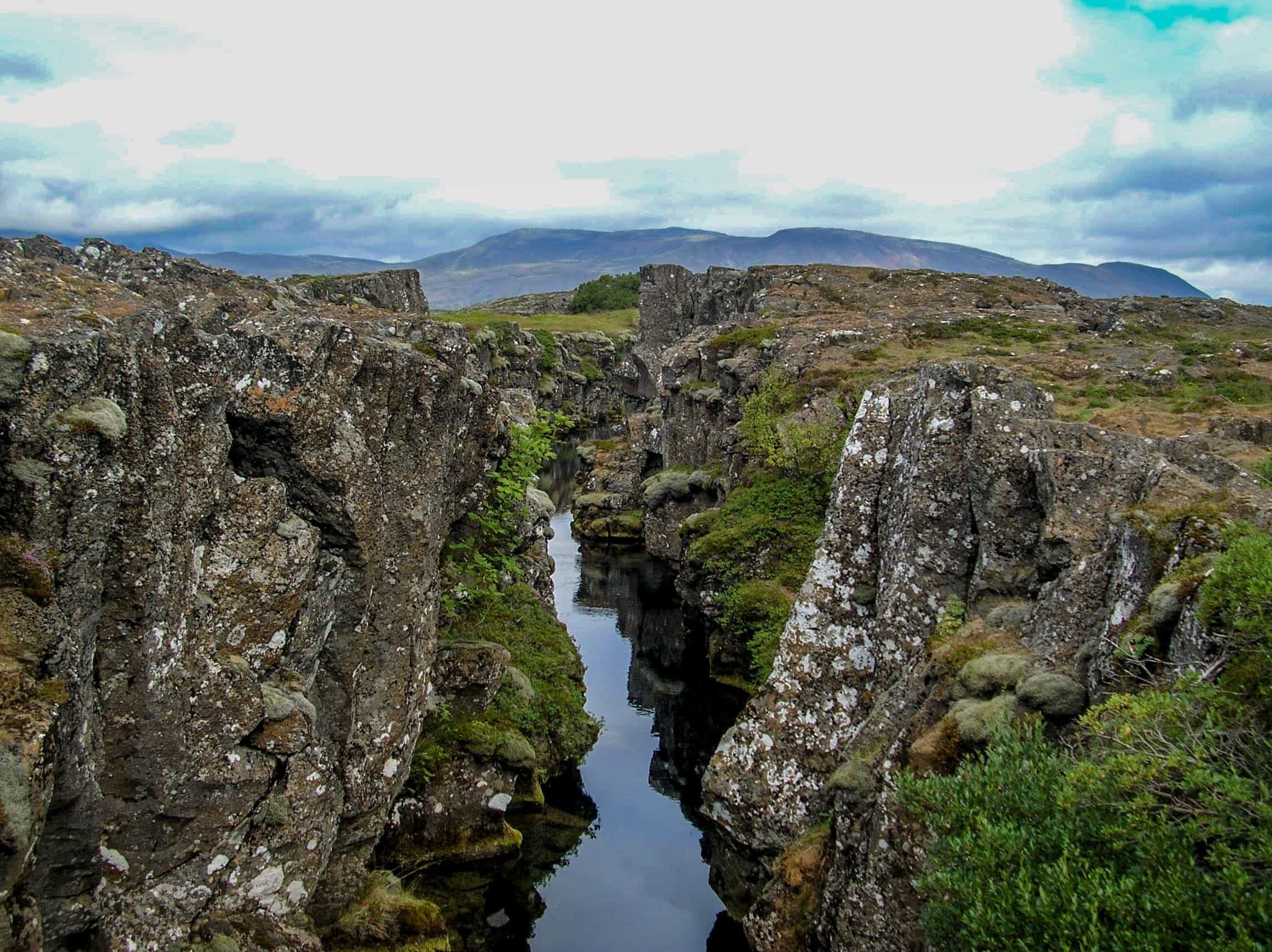
We packed our tent away and drove through Thingviller (Þingvellir) National Park, to the Mid Atlantic Ridge, another stop on the famous Golden Circle route. For more information, please click on the link to read my blog: Golden Circle.


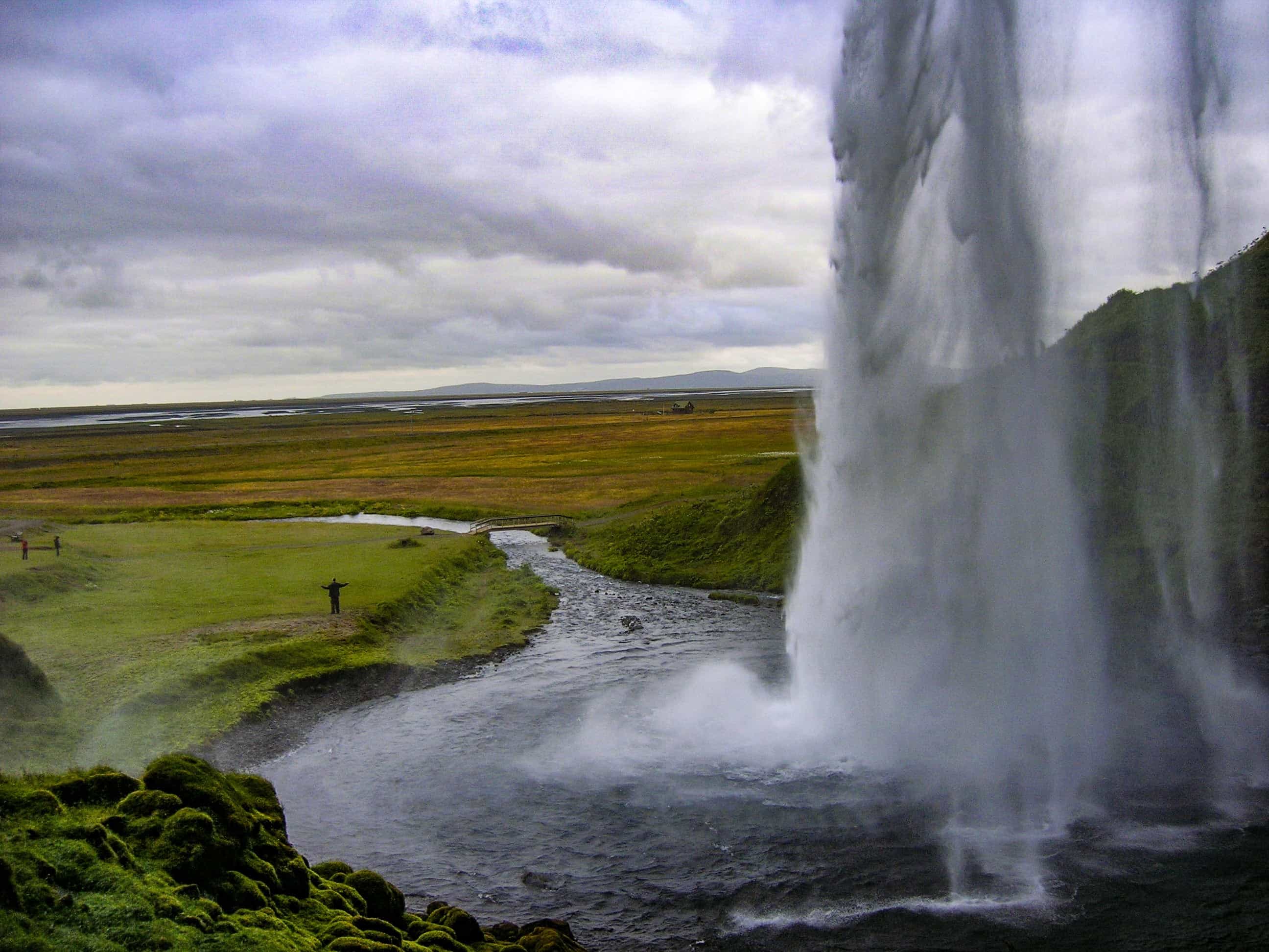
After a lovely walk, we got back into the car and headed towards Vik, joining Route 1 at Selfoss. We then traveled along Route 1 all the way to Vik, stopping by two very impressive waterfalls; Seljalandfoss and Skogafoss. For more information on these two waterfalls, please see my link: Iceland’s must-see waterfalls.

After visiting the 2nd waterfall, Skogafoss drive for another 10 minutes, towards Vik. On your right-hand side there be a car park for the DC-3 place crash site. We did not visit this back in 2007 with my family. I did this on New Year’s Day with my partner, this year. I highly recommend it if you have a couple of hours spare and feel ok to walk just short of 5 miles. For more information about the walk to see the plane crash, please click on my link to my blog: DC-3 Plane Wreckage.


From the plane wreckage car park, it will take you about 20 minutes to drive across to Vik. If you are visiting during the summer months, you may be lucky enough to see the Puffins up on the cliffs. We spent the night camping at the campsite in Vik. If you are not planning on camping, there is accommodation to stay at. There is a supermarket to top up on any food needed too. For more information on what to see and do in Vik and where the Puffins are located, please check out my blog on the beautiful Icelandic village: Vik.


Vik to Skaftafell
The journey from Vik to Skaftafell takes only 1 hour 40 minutes.
On route to Skaftafell, we stopped off at Fjadrargljufur Canyon, near Kirkjubaejark Laustur, 56 minutes drive, east from Vik. To get to Fjadrargljufur Canyon, you have to drive along a dirt track to the car park. We then took a walk up the canyon to the gorge. Very impressive and worth doing. Unfortunately, I cannot remember exactly how long the walk was, but I know it wasn’t a long walk.


We camped at Skaftafell for 2 nights as a very basic campsite. The following day we did an 11-mile walk from the campsite, passing Svartifoss waterfall and over to Morsarjokull glacier. You can climb Kristnartindar if you are feeling adventurous. Unfortunately, we did not have time. If you do not fancy doing an 11-mile walk but would love to still see the waterfall surrounded by basalt columns, then you can just walk to Svartifoss and not continue on as we did. For more information about Svartifoss, please see my blog: Iceland’s must-see waterfalls.


If any of you are Game of Thrones fans, Skaftafell was one of their filming locations. There used the area of scenes beyond the wall.
Skaftafell to Stöðvarfjördur
After spending two nights at Skaftafell, we then drove 4 hours to Stöðvarfjördur to a free campsite. Well, it was free back in 2007, though, it might not be now.
As you drive along the ring road to Stöðvarfjördur, you must stop by at Jökulsárlón, the famous Icelandic icebergs. The place where two of the James Bond movies were filmed. For more information about the icebergs and what see and do at Jökulsárlón, please click on the link: Icelandic Icebergs.

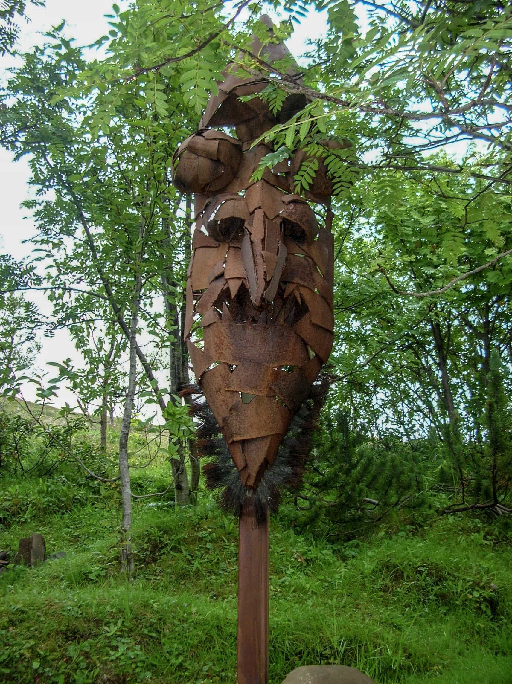
After visiting Jökulsárlón, we then drove onto Hofn, a little Icelandic town on the southern coast of Iceland. If you didn’t want to drive onto Stöðvarfjördur, you can stop in Hofn for the night. It is also a good place to stock up on food and drinks. I can’t remember a lot about Hofn as our visit was only very brief. However, there is one thing that does stand out in my memory; the rock museum, or how the Icelandic’s pronounce it: Huldusteinn. If you do have a bit of time, it is worth visiting. There are not just any old rocks, there are rocks that have been decorated and sculptures have been made with them.
The address for the rock museum is Hafnarbraut 11, Hofn 780, Iceland.



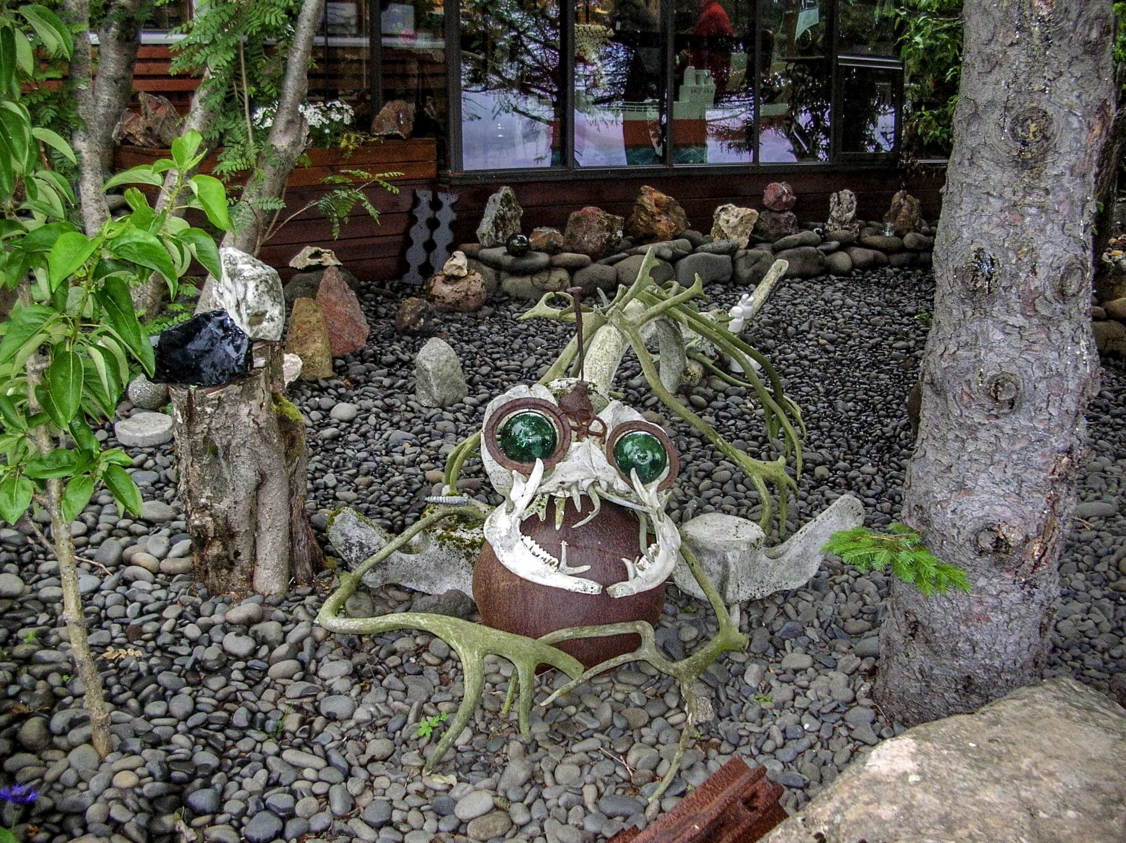
After visiting Hofn, we then drove for 2 hours 30 minutes, to a free campsite for the night, located east of Stöðvarfjördur.


Stöðvarfjördur to Þórshöfn
We only spent one night at the campsite in Stöðvarfjördur. We then headed towards the town, Porshofn, and found another free campsite to camp at. It would be interesting to know if they are still free today. Remember, I stayed at these campsites back in 2007, before the country became a popular tourist destination.
On route to Porshofn, we decided to do a 30 minutes detour (an hour round trip), from Egilsstaðir to Seyðisfjörður. The journey to Seyðisfjörður from the campsite that morning, took us around 1 hour 30 minutes. The town is located in a beautiful fjord, surrounded by breath-taking mountains. It is one of Icelandic’s most spectacular roads! We did not spend no where near long enough to enjoy the town. With plenty of hiking trails, boat tours, colourful houses to look at, skiing in the winter months; you need at least 2 nights or more!
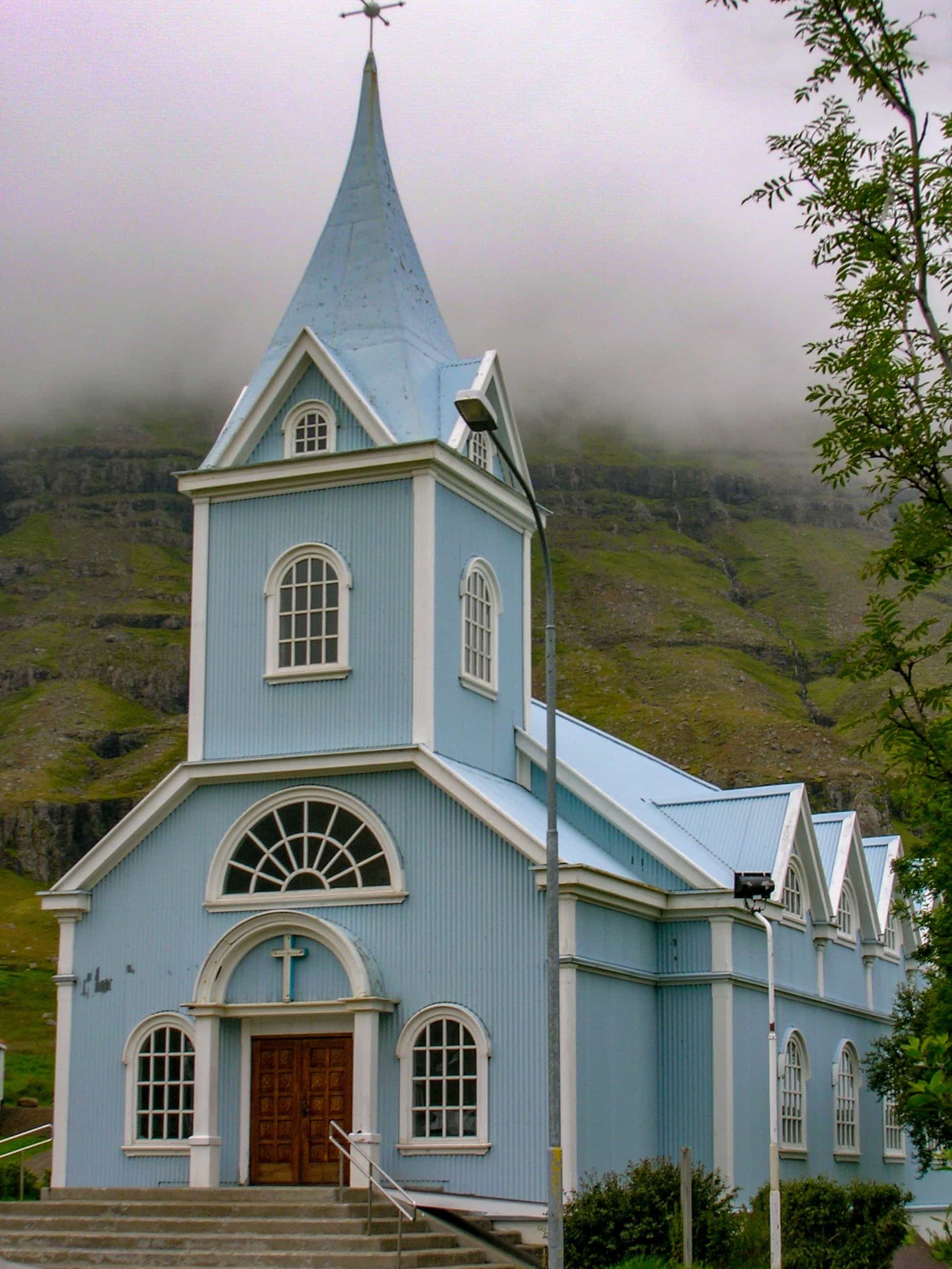

After a detour to Seyðisfjörður, we drove back up the mountain pass to Egilsstaðir, to rejoin the ring road. Egilsstaðir is a perfect place to stock up on food supplies. The food shops beyond Egilsstaðir were more expensive.
Back on the road, we traveled from Egilsstaðir to Vopnafjörður, turned off Route 1, and headed onto Route 85. The road surface was not as good as Route 1, it soon turned into a dirt track and became quite slow going. Hopefully, by now, at the time of writing this blog, they have a tarmac road. It should take you around 1 hour 30 minutes to drive.
The final part of the day’s journey; Vopnafjörður to Þórshöfn was a bit easier. The road surface improved, back to a tarmac road, taking us just under an hour to get to our next free campsite for one night. We arrived just in time to see the beautiful sunset over the traditional Icelandic church.
After setting up camp for the night, we went into Þórshöfn and went swimming for a couple of hours before enjoying some banana and custard for supper.


Þórshöfn to Kópasker
We packed our tents up at Þórshöfn and headed towards Kópasker, making a few stops along the route, still on Route 85, a detour from Route 1.
Out first stop we made was at Raudanes, a 30-minute drive from Þórshöfn. We did a short, 4 miles (7km), circular walk along the coast to see some fabulous stacks, arches, caves, and stumps. A walk was definitely worth doing! We did not have great weather; a lot of low clouds, rain, and cold temperatures. Therefore, the views were not great but still worth doing the walk.


After stopping at Raudanes, we drove for about an hour to a place called Hraunhafnartangi, one of the northernmost spots in Iceland. Here you are just 800-metres from the Arctic Circle. I tried throwing a stone into the Arctic Circle but it didn’t quite reach! You can do a walk to the lighthouse but we didn’t have time.
We drove 40 minutes onto Kópasker, where we found another free campsite for the night and saw lots of scarecrows. The campsite was lovely, we decided to stay 2 nights at it.


Kópasker
Staying based at Kópasker, we drove over to Asbyrgi Canyon for the day. We did a mixture of short walks and drives to 3 impressive waterfalls; Hafragilfoss, Dettifoss, Selfoss, and a walk to a lake, Botnstjorn. It was a brilliant day, all worth doing, just a shame with the weather. It was a cold, wet day for us.
For more information on the 3 waterfalls, please click on the link: Must-See Waterfalls in Iceland.


Kópasker to Bjarg
Still detouring off Route 1, driving on Route 85, we left Kópasker and headed towards Bjarg to our next campsite beside Lake Myvatn.
On route to Bjarg, we stopped off at Husavik and went on a boat trip to see some whales. Unfortunately, the sea was too rough and we did not get a chance to see any. They offered a free boat trip for another day, in the hope we get to see some then. I have written a separate blog on the boat trip.
If you want to read more on the whale-watching excursion, please click on the link: Whale Watching.


After the disappointing boat trip, we drove for just under an hour, to our next campsite, beside Lake Myvatn, Bjarg. A very busy campsite compared to some of the others we had stayed at. The campsite is located just off Route 1. We decided to spend the next 2 nights at this campsite, as there was a lot to do in the area.
Bjarg, Lake Myvatn
Staying based at the campsite in Bjarg next to Lake Myvatn, we had a short drive to a place called, Dimmuborgir. In Dimmuborgir, we did a 2-hour 30-minute walk up the volcano, Hverfjal to the crater. It was a steep walk up, through ash, with ropes to hold onto. I would advise not to do this walk on a wet day as it may be slippery. There is another route you can take up to the crater and is meant to be a lot easier.
For more information about Hverfjal Volcano and the walk up to the crater, click on the link to read my blog: Hverfjal Crater Walks.


After the lovely morning walk up Hverfjal Volcano, we drove to a viewpoint along Lake Myvatn, looking over at Kalfastrond Peninsula. Here, we had our lunch, while enjoying the view. You can walk out to the peninsula. Unfortunately, we did not have time.


After enjoying our lunch, looking over the lake, we headed back in the car and drove to Skútustaðahreppur to see the pseudocraters. We did a lovely walk around a small part of lake Myvatn, before turning off, where we then walked up towards the pseudocraters. If you are wondering what pseudocraters are; they grassy craters that are found in wetland areas. There are not many of them in the world. The Skútustaðahreppur Pseudocraters are the biggest and most popular ones in Iceland, formed 2,300 years ago.

That evening we decided to go and relax our tired muscles from all the walking up volcanoes and craters we had done, at Myvatn Nature Baths. The Myvatn Natura Baths are sulphur baths, similar to the Blue Lagoons, which are located south of the island, near Reykjavik. These are cheaper and less touristy than the Blue Lagoons. If you only have time to do one of the sulphur baths, I would choose the Myvatn Natura Baths.
For more information on the 2 different sulphur baths, please click the link to read my blog: The Sulphur Pools.


Sjarg, Lake Myvatn to Vaglaskógur.
Leaving Lake Myvatn behind, we headed back on the road, following Route 1 and headed towards Vaglaskógur.
On route to Vaglaskógur, we stopped off at the Hverir Mud Pools, located near Myvatn Natura Baths. This is something not to be missed when driving Route 1, just as long as you can handle the smell of sulphur, while watching the mud boil and bubble away. Very interesting to see! Look out for Lake Stora Vita; a lake inside a crater.
For more information on the Hverir Mud Pools, please click on the link to my blog: Hverir Mud Pools.


After visiting the mud pools, we drove just 10 minutes up the road to a place called, Leirhnjukur. Here, we did an hour-long walk around the active volcano, Hofur. We did the small loop. There is the long loop you can do that will take you around 2 hours to complete.
For more information on the 2 walks, please check out my link to my blog: Walking Around an Active Volcano.


After completing the walk around the volcano, we drove onto Godafoss, a very impressive waterfall. For more information, please click on the link to my waterfall blog: Icelandic Must-See Waterfalls.


After visiting Godafoss, we drove onto our campsite for the night in a place called, Vaglaskógur. The campsite was a lovely quiet site compared to the one near Myvatn.
Vaglaskógur
We decided to stay 2 nights at the campsite in Vaglaskógur, as there is quite a bit to see and do in the area.
We headed into Husavik to see if we could do the Whale Trip again. Unfortunately, the sea was too rough, so we booked ourselves onto another crossing, the following day.
We drove up north from Husavik to Fossil Bay. There was not a lot there; jus some woolly sheep and lots of shell fossils.


After visiting Fossil Beach, we drove back towards our campsite, back onto Route 1. We then turned off Route 1 and headed up Route 82, to a place called, Laufás. At Laufás, we visited the Turf Houses. This is a ‘must-see’ place in the north of Iceland. Run by the National Museum of Iceland, they show how people use to live back in the 1900s. Some of the oldest remind of the houses date back as far as the 1840s.


After our visit to Laufás, we headed back on to Route 1, to the city, Akureyri. The city, Akureyri is located at the base of Eyjafjörður Fjord. We had a wander around the city centre, hoping to buy some holiday souvenirs. However, we were a little disappointed. There were hardly any tourist shops.


After a short wander around the city, we got back into the car and drove south of Akureyri, to visit a Christmas Garden. It was only a small Christmas shop, taking us not very long to look around. We visited it back in 2007, it may have changed since our visit as I know a lot of people highly recommend visiting it. For more information about it, check out this website: The Christmas Garden.

Vaglaskógur to Dalvik
Drove back to Husavik in the hope to go on the Whale Trip. Luckily, the weather was in our favour; there was only a light breeze. We went on the trip with North Sailings out into the Atlantic, like we did, previously. However, this time we actually saw some whales. We saw some Minke Whales swimming away in the ocean. It was a lot more enjoyable boat trip compared to the first trip. We were on a bigger boat and the sea was a lot calmer. For my information on our boat trip, please click on the link to read my blog: Whale Watching.


After the fun boat trip, we drove onto Dalvik, detouring off Route 1 again and onto Route 82. We spent the night camping at Dalvik, along the Eyjafjörður Fjord.
Dalvik to Borgames
Still detouring off Route 1, we headed up north from Dalvik and drove along the Tröllaskagi Peninsula. The peninsula was very beautiful. It is something I highly recommend driving, especially along the west side of it. I wish we had more than just a day driving along with it, as it would have been nice to stop off more and enjoy the breathtaking views a lot more. If you are feeling brave, why not pull over along the coastline and dip your feet into the cold Arctic Ocean.


After a lovely drive along the peninsula, we rejoined Route 1 and headed down the east side of Iceland to our next campsite in Borgames. The campsite was northwest of Borgames at a place called, Vamaland Campsite.


Borgames to Grindavik
Detouring off Route 1 yet again, we headed from the camping ground to Fossatun, then onto a dirt track, N25 to Thingvellir (Þingvellir) National Park. You have to be careful before driving on the dirt tracks, as some car insurances can become invalid. We then joined Route 36 and headed across to the Hengill area. Here, we did a walk at Kýrdalshryggur, near Dyradalur. Unfortunately, I do not have a lot of information about this walk to share with you. All I can remember about the walk, it was good.


After the walk, we drove onto Reykjavik, the capital of Iceland. We spent a bit of time looking around the city centre before catching our flight home, the following day. For more information on Reykjavik, please click on the link to read my blog: Reykjavik.