
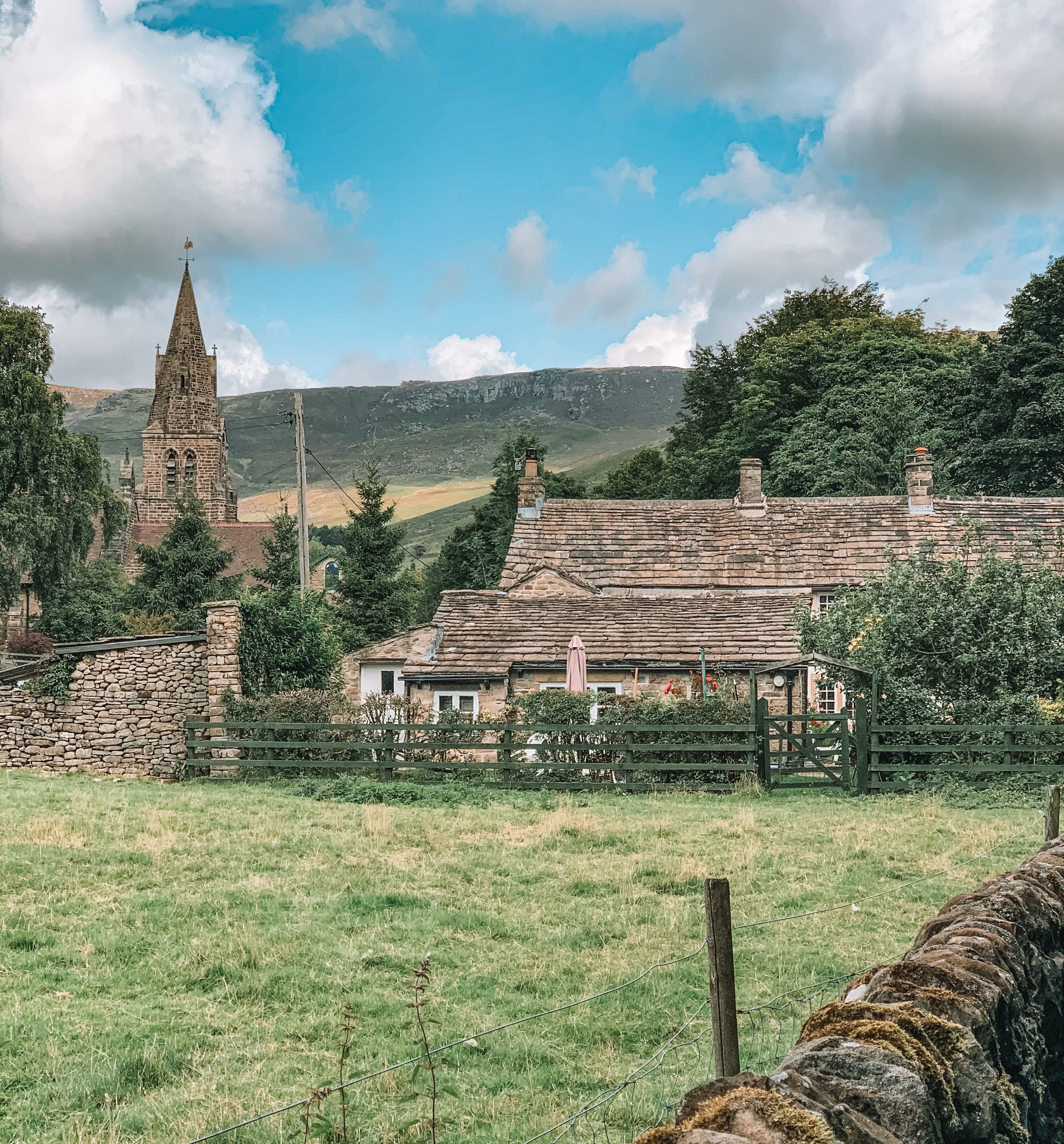
Edale is a beautiful little village, located in Hope Valley. It is surrounded by one of the most stunning views in the Peak District National Park. It is also home to the start of the 268 miles (431 km) long-distance The Pennine Way Trail.
There are lots of different trails to do starting and finishing in Edale. We originally were going to take the footpath that follows the stream, Grinds Brook, which travels slowly up the valley. However, we changed our minds last minute and decided to head up onto the ridge, onto Nether Tor. I am a bigger lover of ridge walks! The views are always better up on the ridges then been buried down in the valleys, even when you spend half your walk, in the cloud, as we did!
This walk has become one of my favourite walks to do in the Peak District National Park! This route is 6.2-miles long and took us just over 5-hours to complete and that was with stopping for lunch and lots of photos. The walk is moderate difficulty and I would recommend correct mountain clothing as the weather can suddenly change once on the ridge as it did with us. One minute we were in sunshine, the next we were in thick cloud and rain. The path is well marked. It is a popular route for many walkers. Not only does the route take you along the Nether Tor Ridge, but it also takes you over Grindslow Knoll, for anybody who is ticking off summits!
Parking
Edale is only a small place with not a lot of parking. Unless you get there early, you may struggle to find somewhere to park. Luckily, when we visited, a farmer had opened up a field as an overflow car park. He charged £5 to park in it all day and the money all goes to a charity in the village. I’m not sure how often he opens his field up as a car park. Edale does have its own car park. However, it is only small and it does cost to park in it. There is very limited street parking. I’m hoping the overflow car park will stay on days when needed!
If you do not want to drive to Edale, there is a train station, so you can always catch a train from another village to Edale. Then you do not have to worry about finding somewhere to park. Another option, if you are planning on visiting for more than 1-day, you could stay the night in some accommodation which has parking or camp the night at one of their campsites.
For more information on how to get to Edale, parking, and accommodation, please click on this link: https://www.visitpeakdistrict.com/explore/towns-and-villages/edale-p682991.

The Route
Follow this map, as you walk the route, you shouldn’t get lost! Make sure your location is turned on and you should be able to see exactly where you are, on this map. Or if you prefer, download the GPX file and use it on your choice of route tracker.
1.
Starting in the village Edale, head through the village, travelling north along Mary’s Lane, passing the start line of the Pennine Way. You will eventually reach a signpost, marking a footpath off to your right-hand side, reading Grinds Brook. Take the footpath through the woods and onto the hillside. Very shortly, you will reach a path junction, with a path going off to your right.


2.
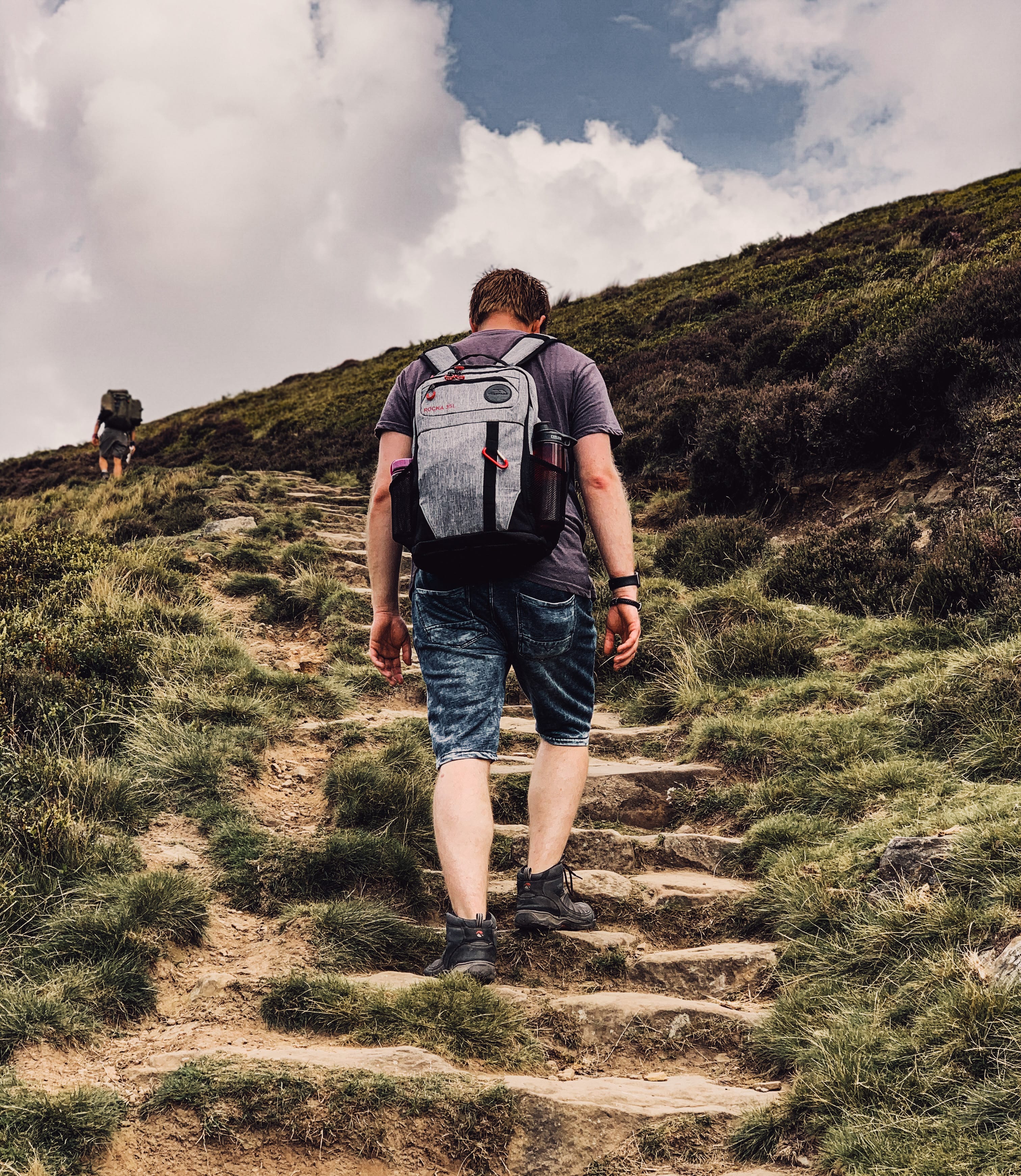
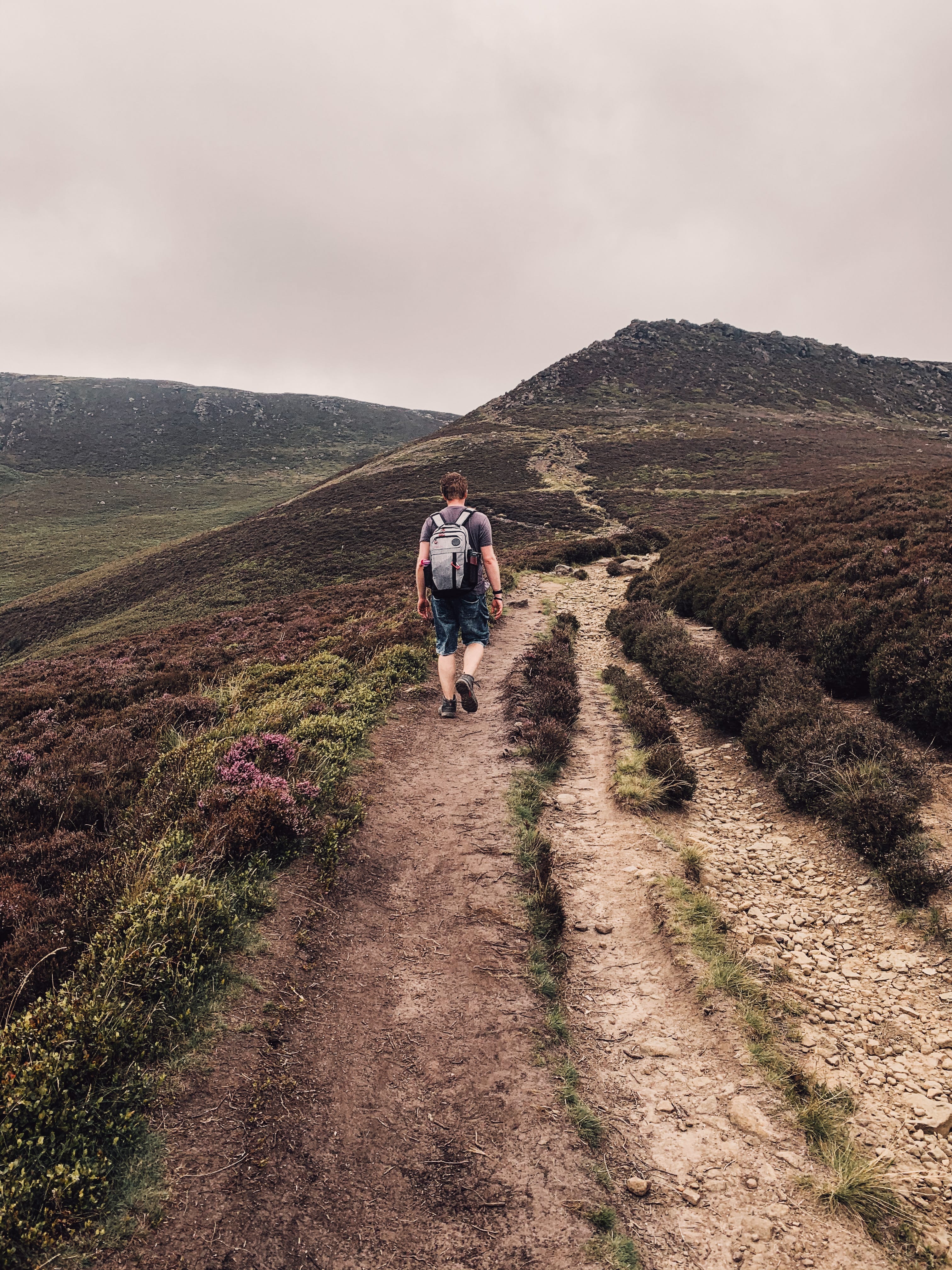
Take the foot path on your right-hand side, which leads you steeply up the hillside and eventually, onto the ridge. There are number of different footpaths to take, which lead onto the ridge. To follow the one we took, use the map above to help you navigate.




3.
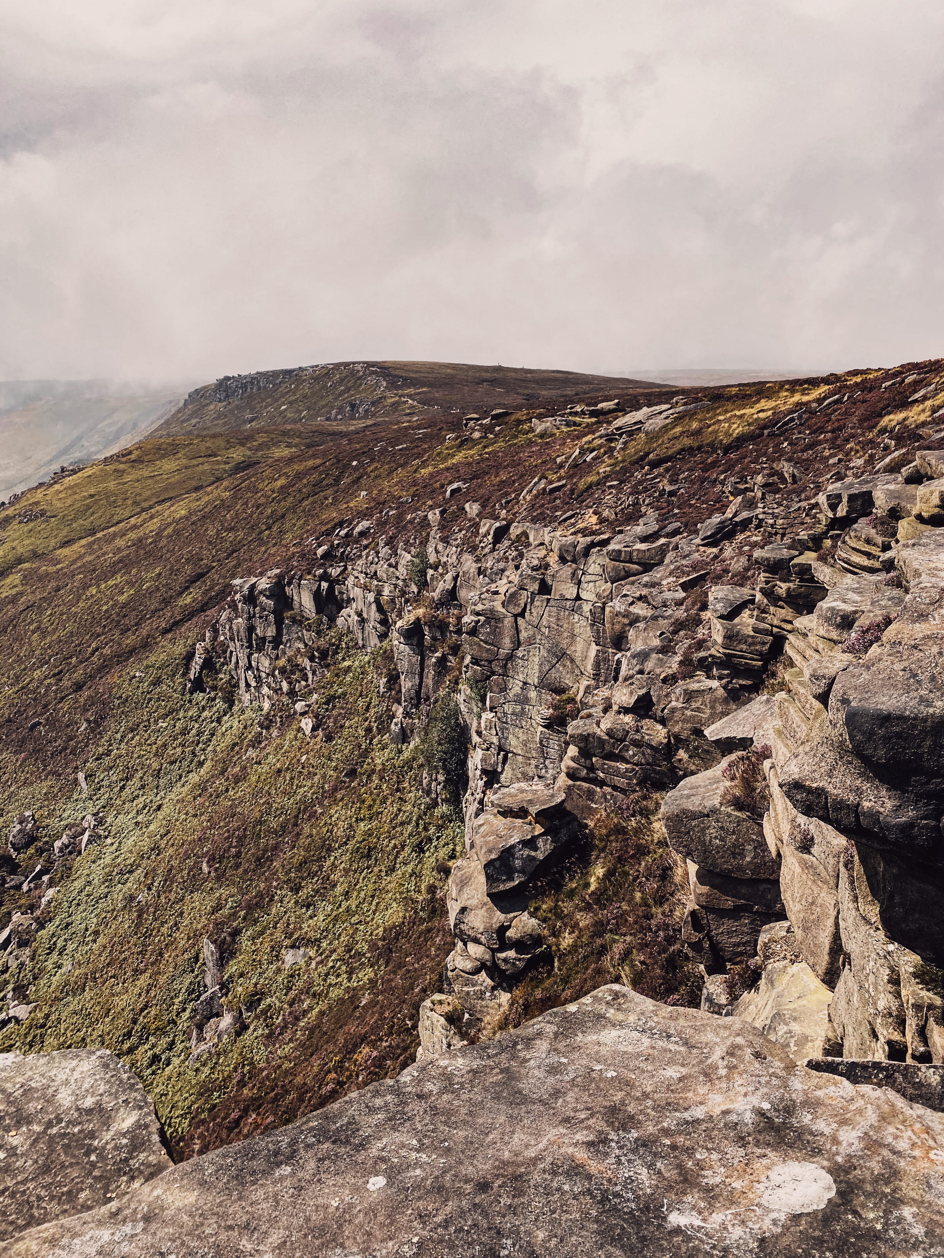
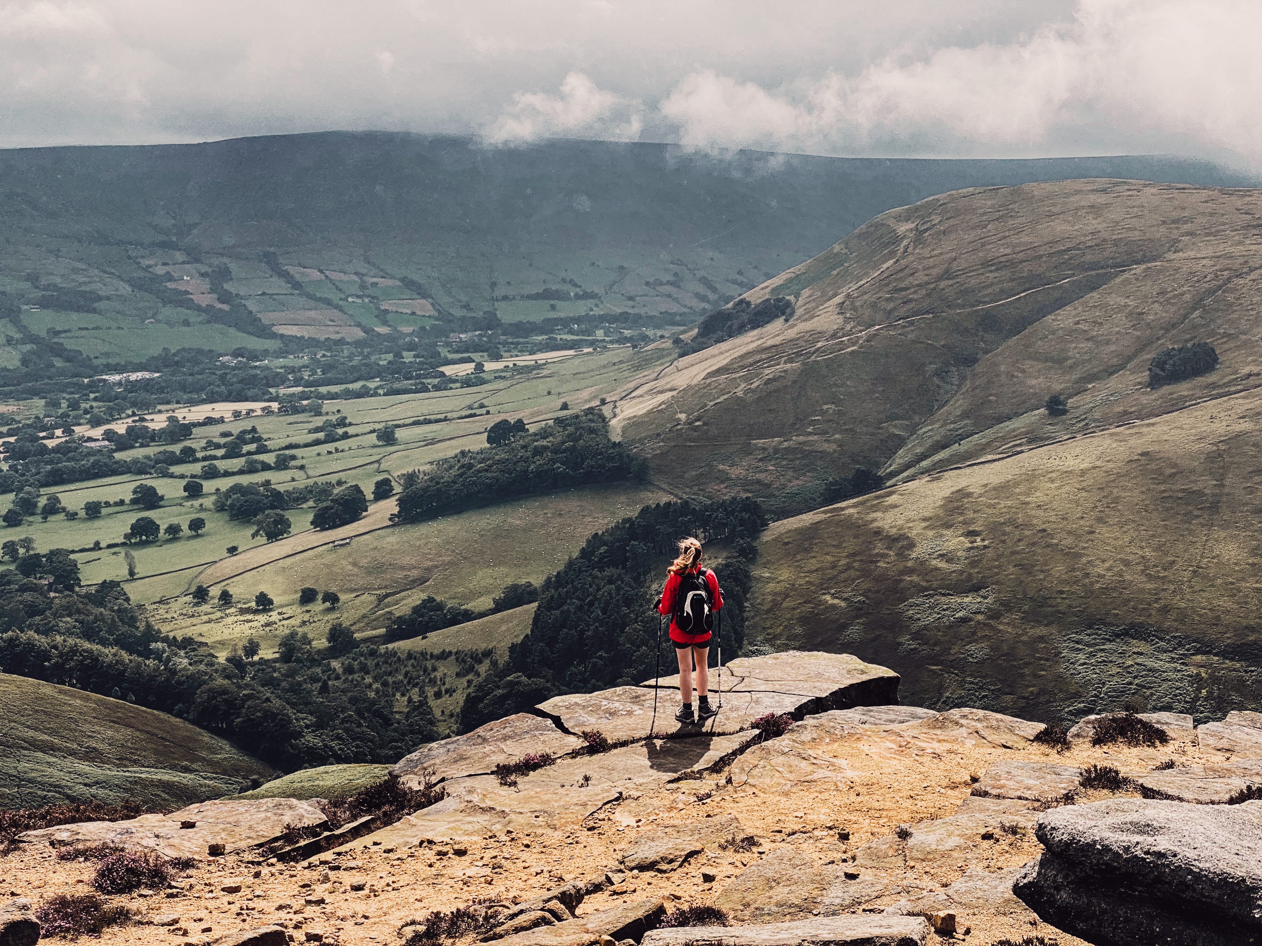
Once you arrived onto the ridge, follow the footpath along the ridge, from Nether Tor to Upper Tor. Eventually, we will arrive at a mountain stream, Grinds Brook.




4.
Follow the footpath across the stream. Very shortly, you will reach a path junction. Take the path to your left-hand side. You will pass a footpath on your left-hand side, leading you down the valley. Instead, carry on walking in the same direction until you reach the next path junction. Here, take the footpath on your left-hand side and head up Grindslow Knoll.


5.
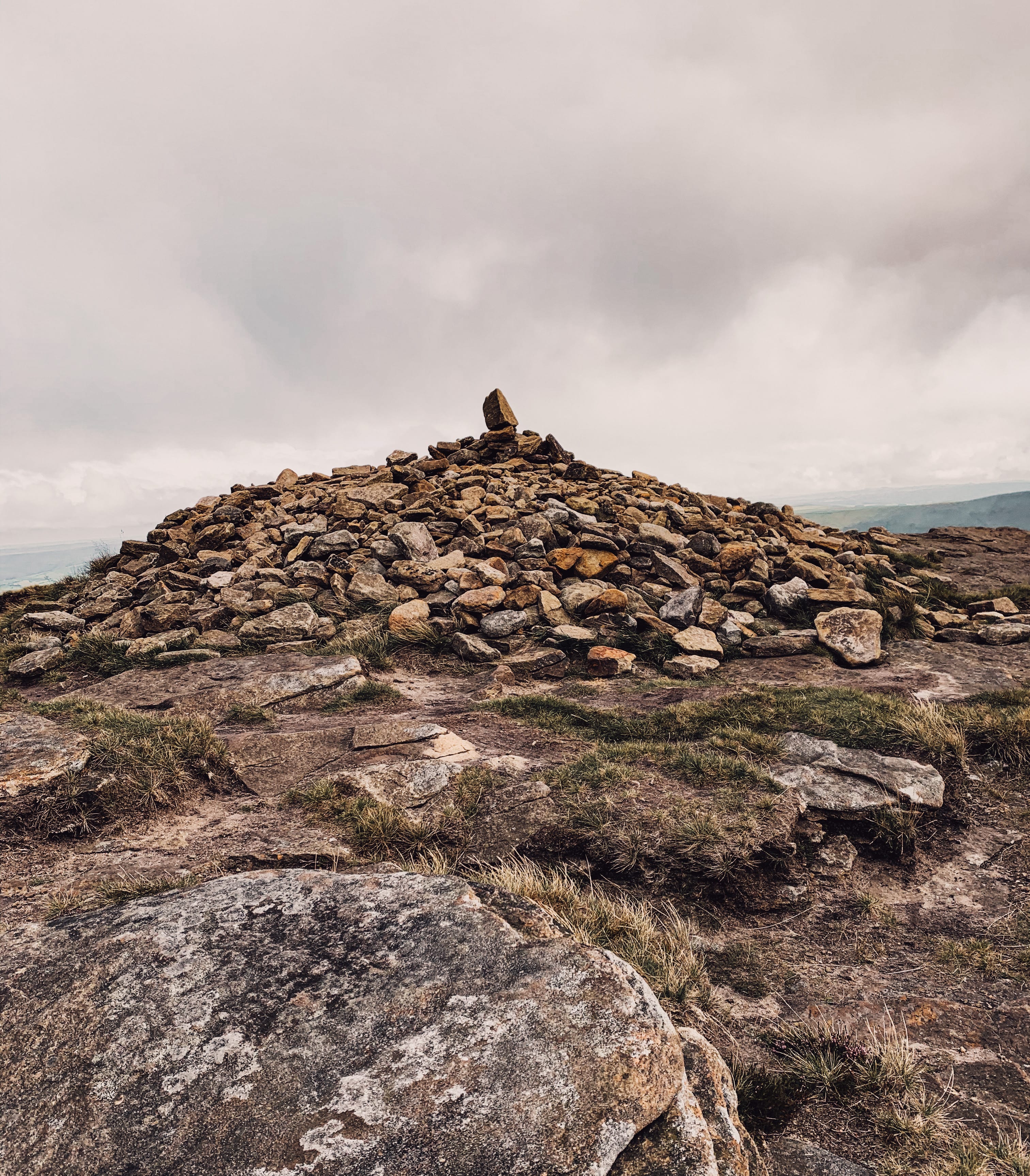
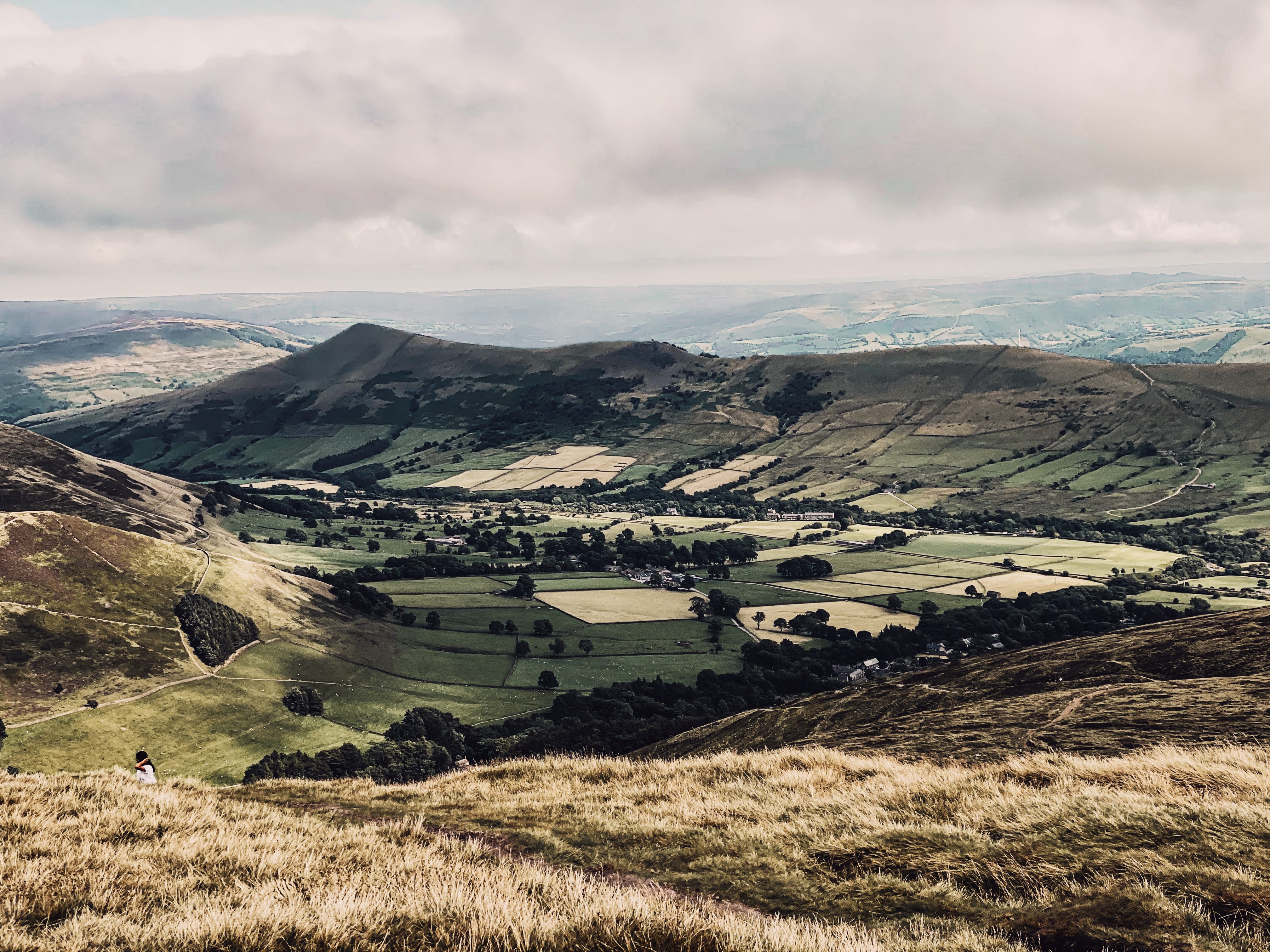
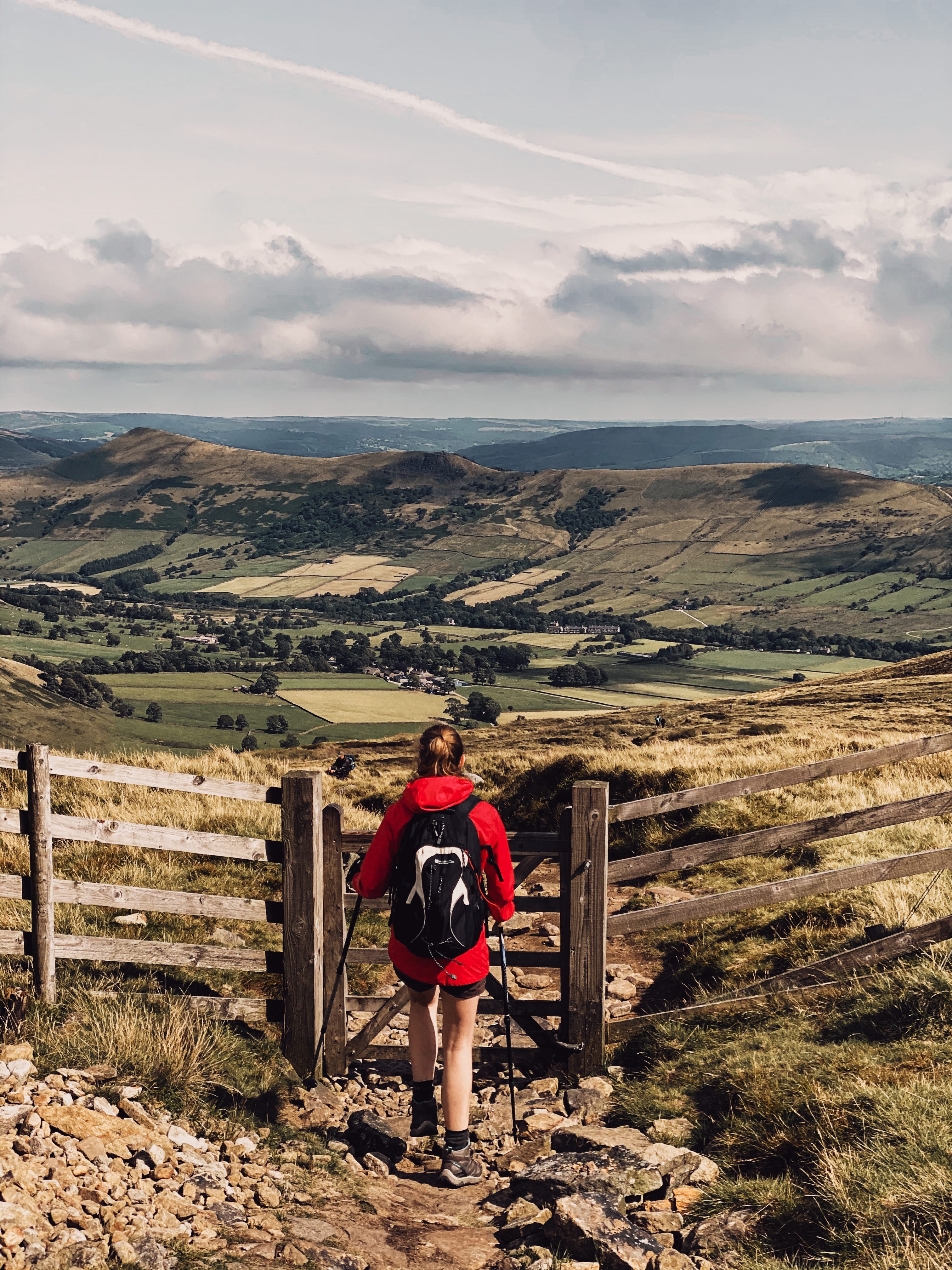
Once you reach the summit of Grindslow Knoll, walking in the same direction, take the footpath down, descending steeply in places. In the distance on a clear day, you will be able to see Mam Tor and The Great Ridge. Follow the footpath all the way down, off the hillside, crossing through a gate onto a farmers field. You should see a footpath off to your right-hand side and a signpost marking The Pennines Way.



6.
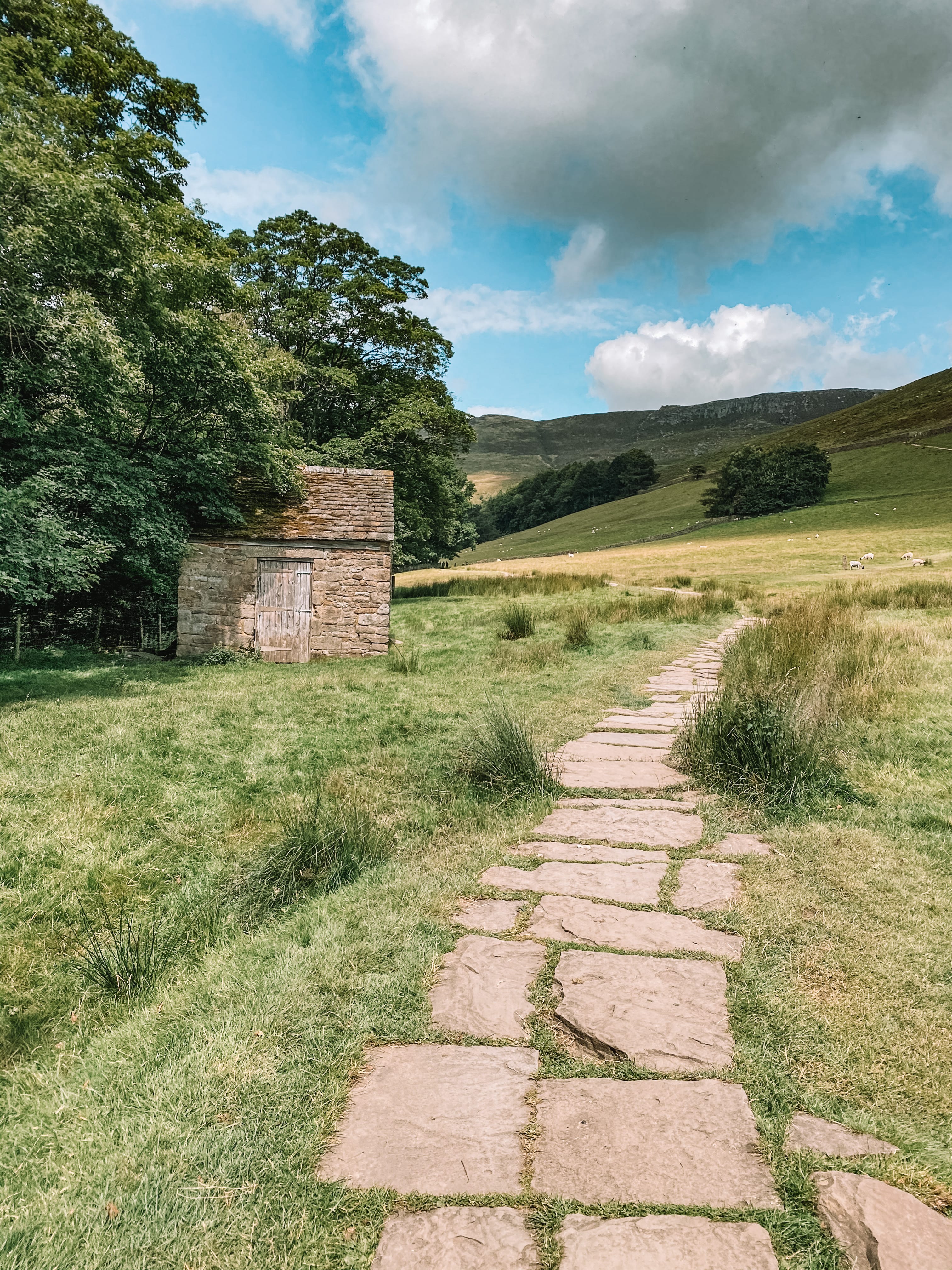
Walking in the same direction, follow The Pennies Way back into Edale, to where you started the walk from.


Enjoyed this walk and would like to do another walk in the Peak District National Park, please check out some of my other walk guides:
For more information on the Peak District National Park, please visit their website:


