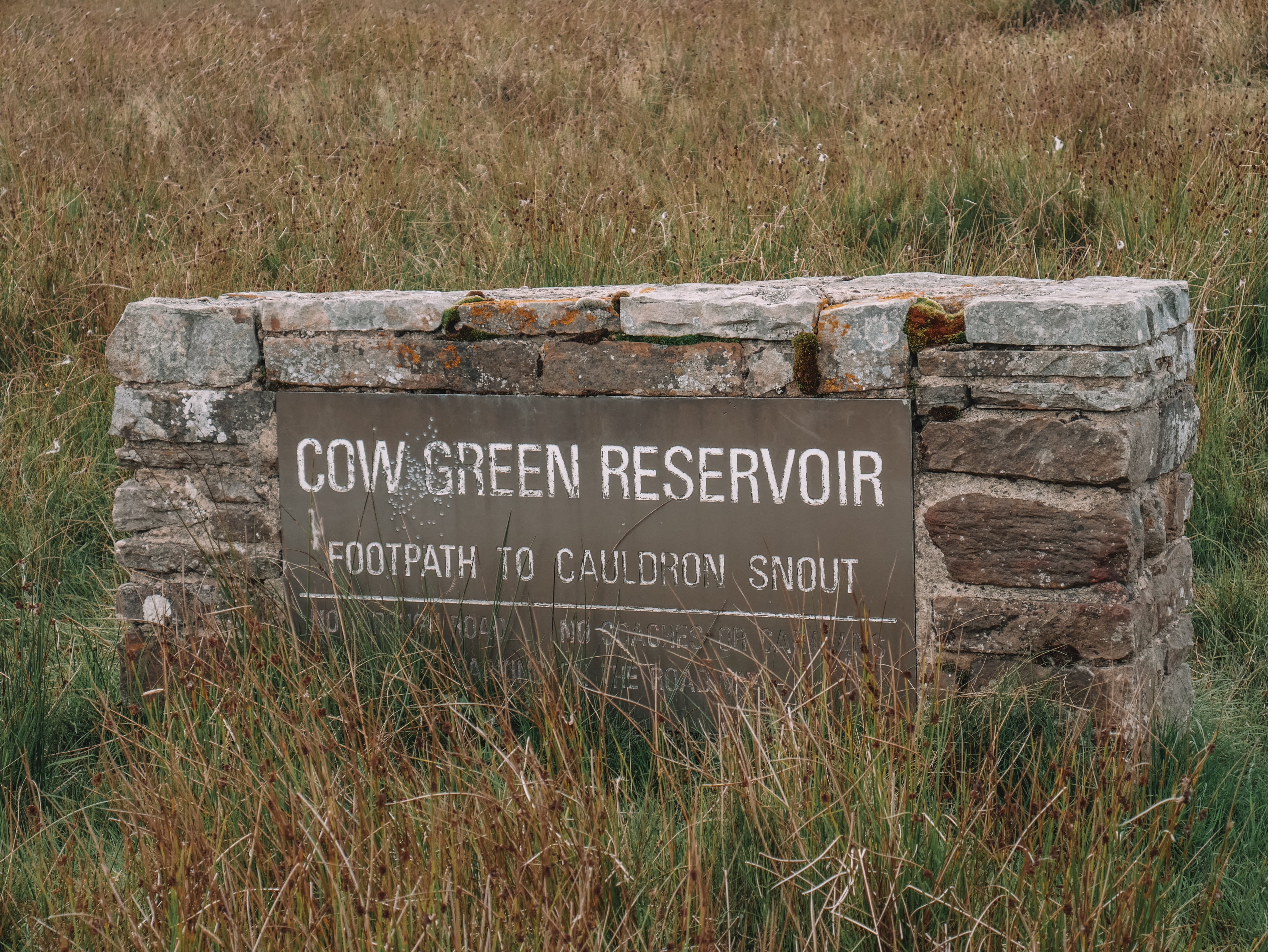
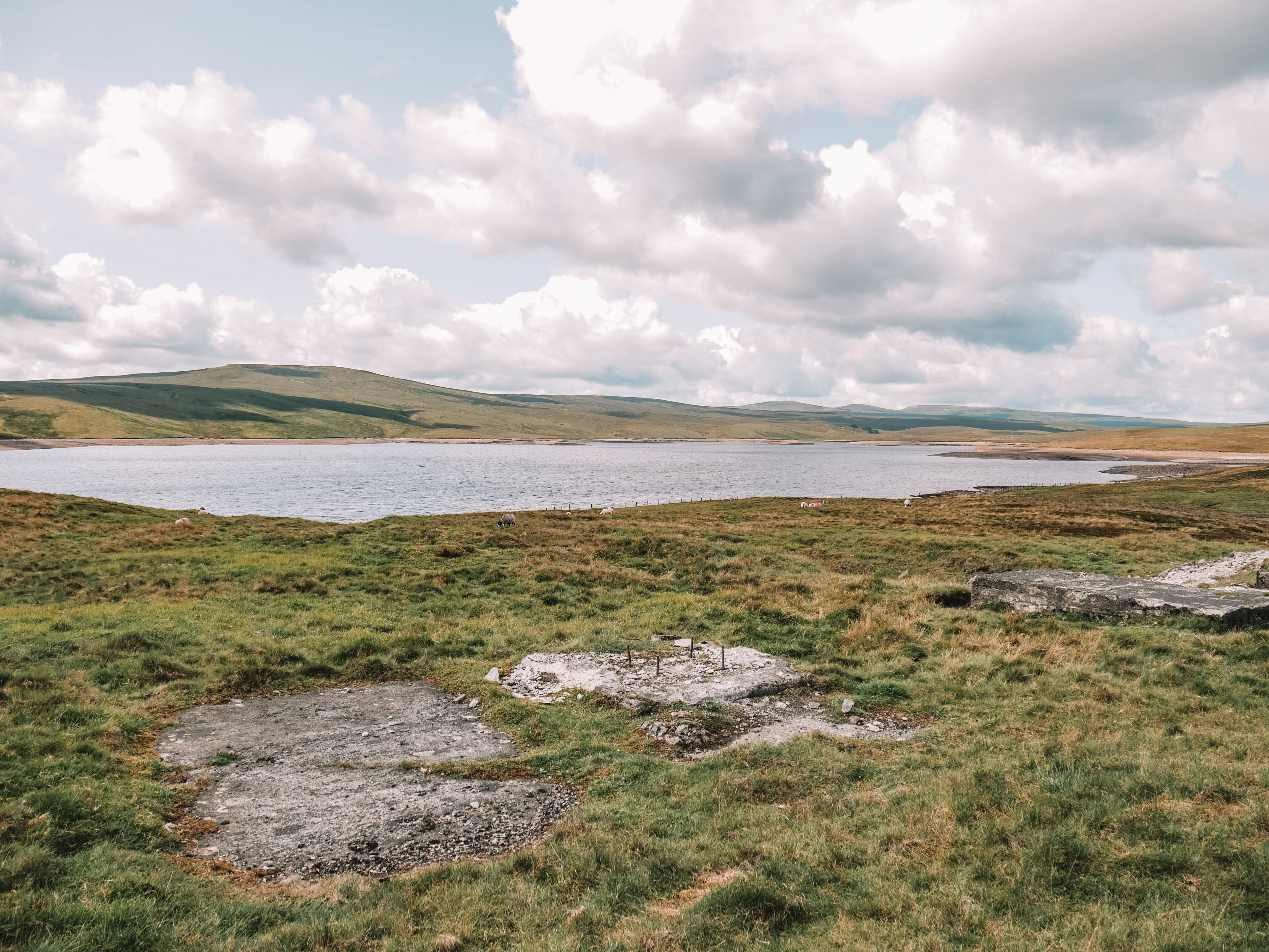
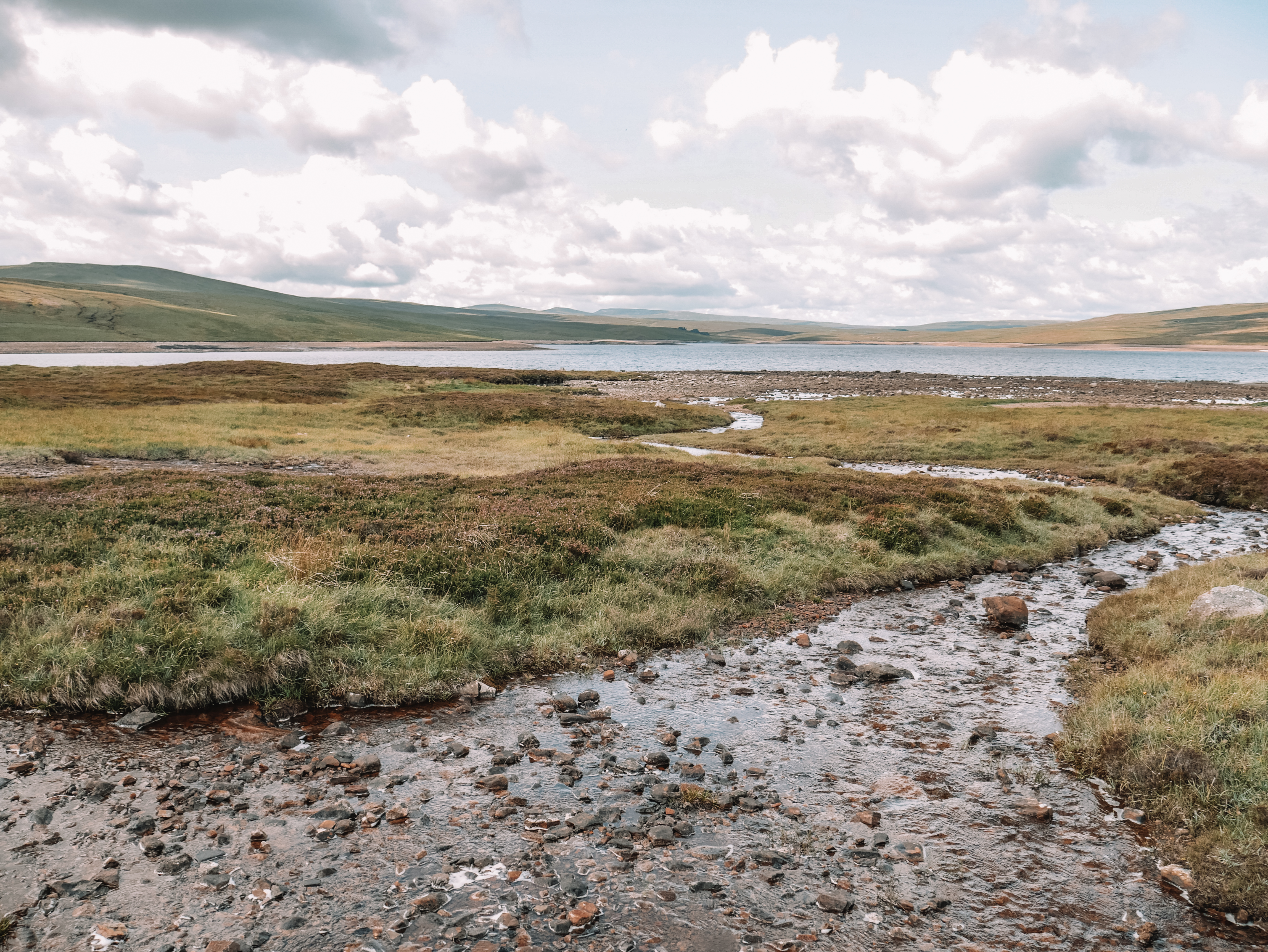
Cow Green Reservoir is a 2-mile long reservoir, located in the North Pennines. It was purposely built from 1967 to 1971, to supply drinking water to the Teesside industries.
This year, my 29th birthday fell on the Sunday of the August Bank Holiday weekend. I wanted to celebrate my birthday doing something a bit different. I decided to go do Alpaca Trekking. However, with it been the bank holiday we had trouble finding somewhere that had spaces free. After a lot of ringing around, the Teesdale Alpaca Farm managed to squeeze us onto their trek. I was ever so grateful. We thought, since we were traveling up to the North Pennines for the alpaca’s, we decided it would be nice to make a weekend out of it. We booked a campsite in Teesdale but canceled that in the morning as the forecast was looking bad and booked a hotel in Darlington. However, I was not going to let the weather spoil my birthday weekend! The weather was looking cold but dry for the Saturday, so we decided to head into the North Pennines for a walk.
The North Pennines is actually the North Pennines Area of Outstanding Natural Beauty (AONB). After completing this walk, I have to say I agree with the title it has been given. The countryside is beautiful with rolling hills that go on for miles and miles. The famous North Pennines Way starts in the North Pennines before heading through the Peak District National Park. Part of this walk talks you along some of the routes.
The walk is 7 miles long and should take you around 3 hours to complete. It takes you past Cow Green Reservoir, down Cauldron Stairway passing the highest waterfall in England, along part of the Pennines Way and through cows fields.
Location And Parking
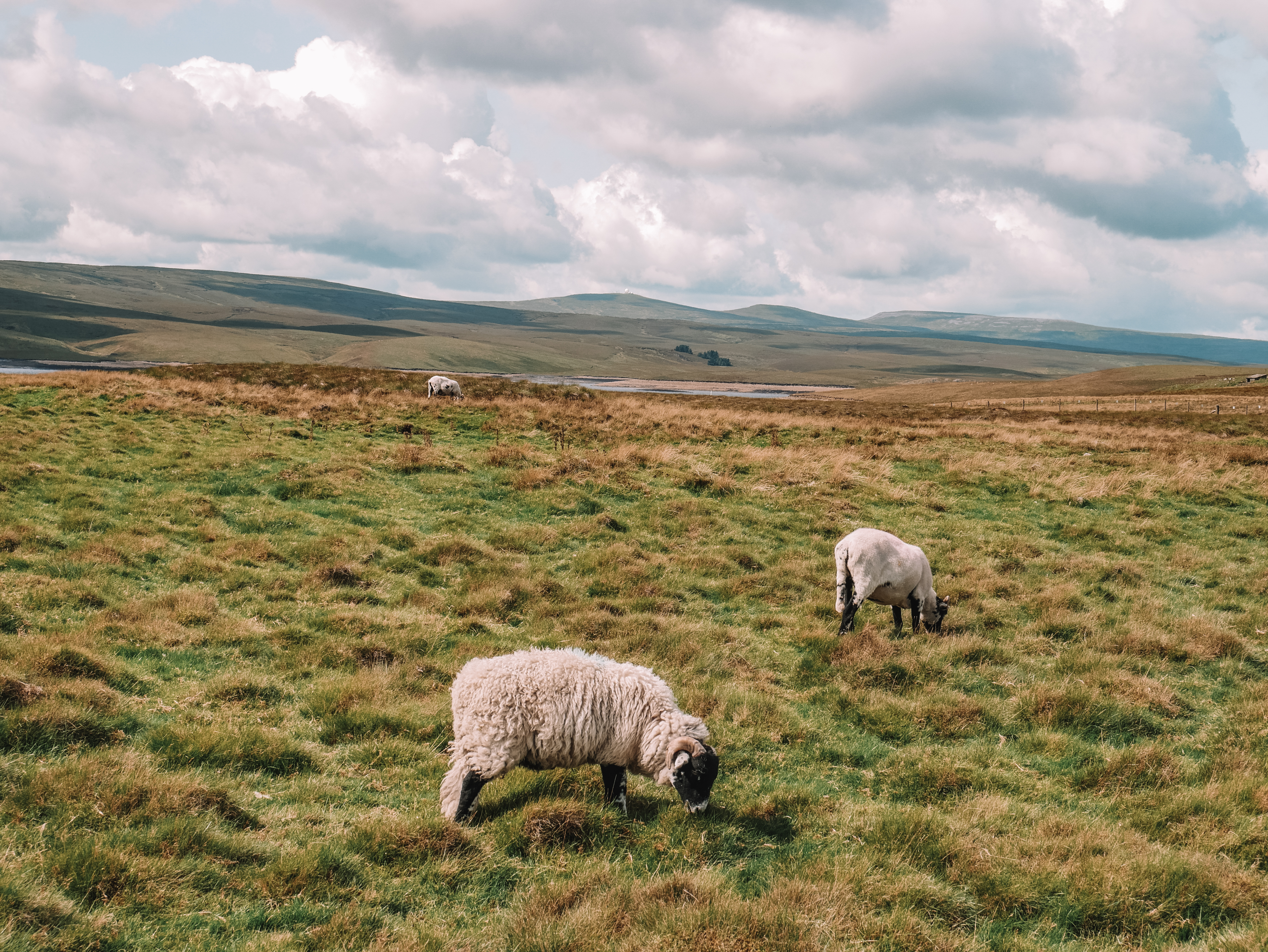
The Cow Green Reservoir is north from Barnard Castle, located in the Edan District, in the beautiful North Pennines. There is a free car park at the reservoir.

Route
Follow this map, as you walk the route, you shouldn’t get lost! Make sure your location is turned on and you should be able to see exactly where you are, on this map. Or if you prefer, download the GPX file and use it on your choice of route tracker.
1.
Take the footpath opposite the car park. Follow the footpath towards the dam, passing the reservoir on your right-hand side.

2.
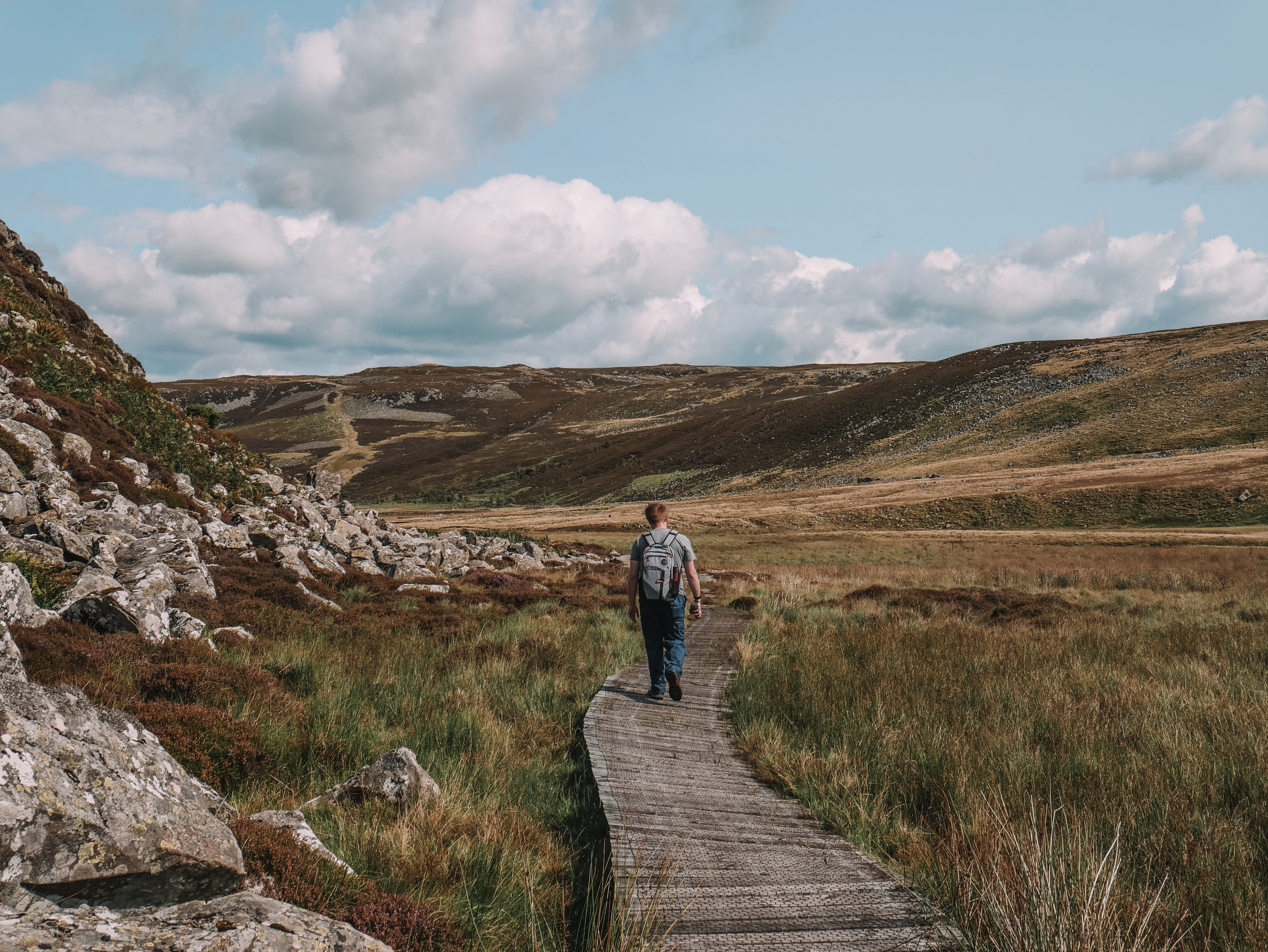
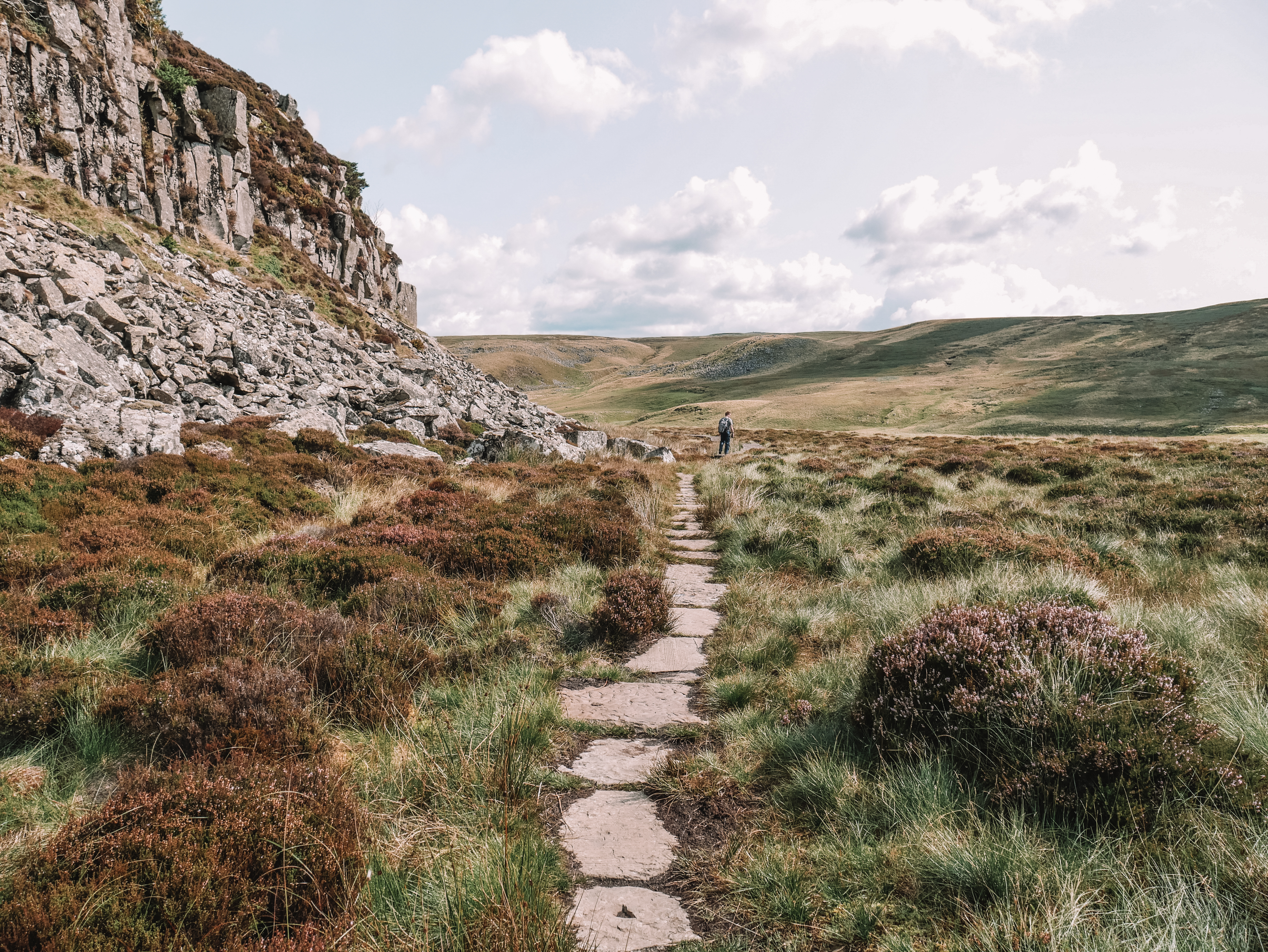
At the bottom of the dam, there is a little bridge. On your left-hand side, there should be a footpath marked the Pennine’s Way. Take the path. The path goes down what is called Cauldron Stairway, passing the highest waterfall in England on your right-hand side. Be careful, the path can be slippery at muddy at times.


3.
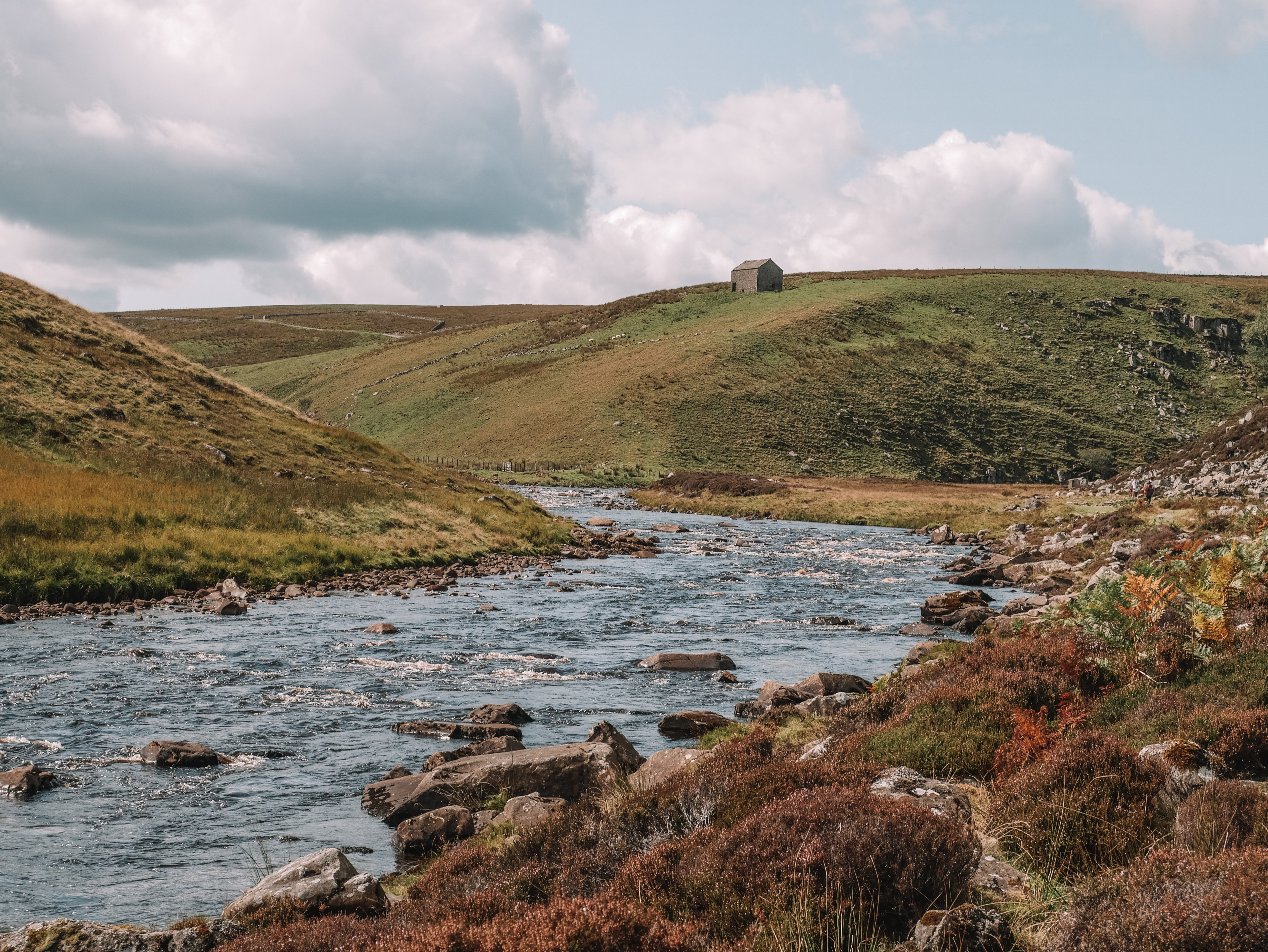
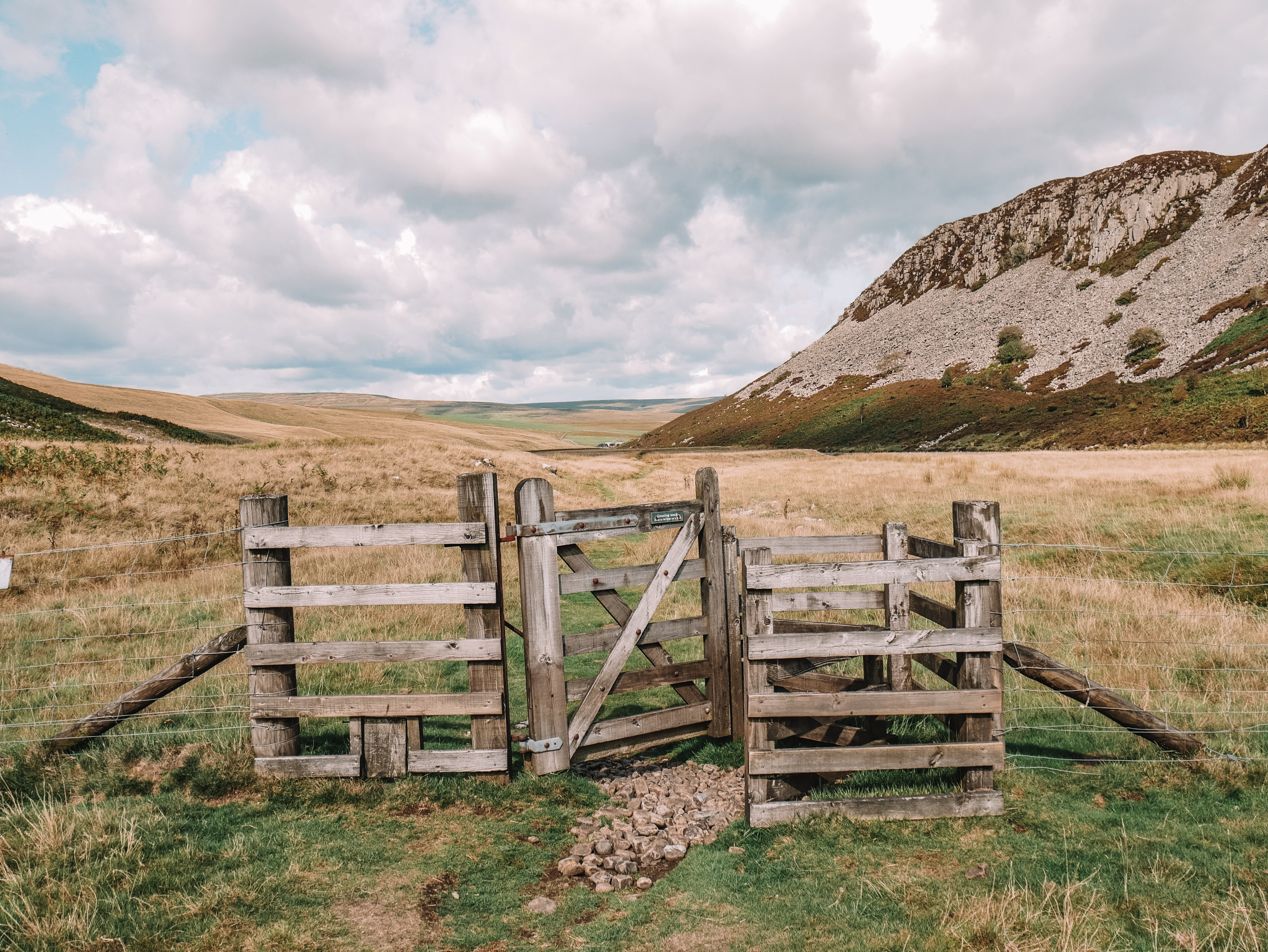
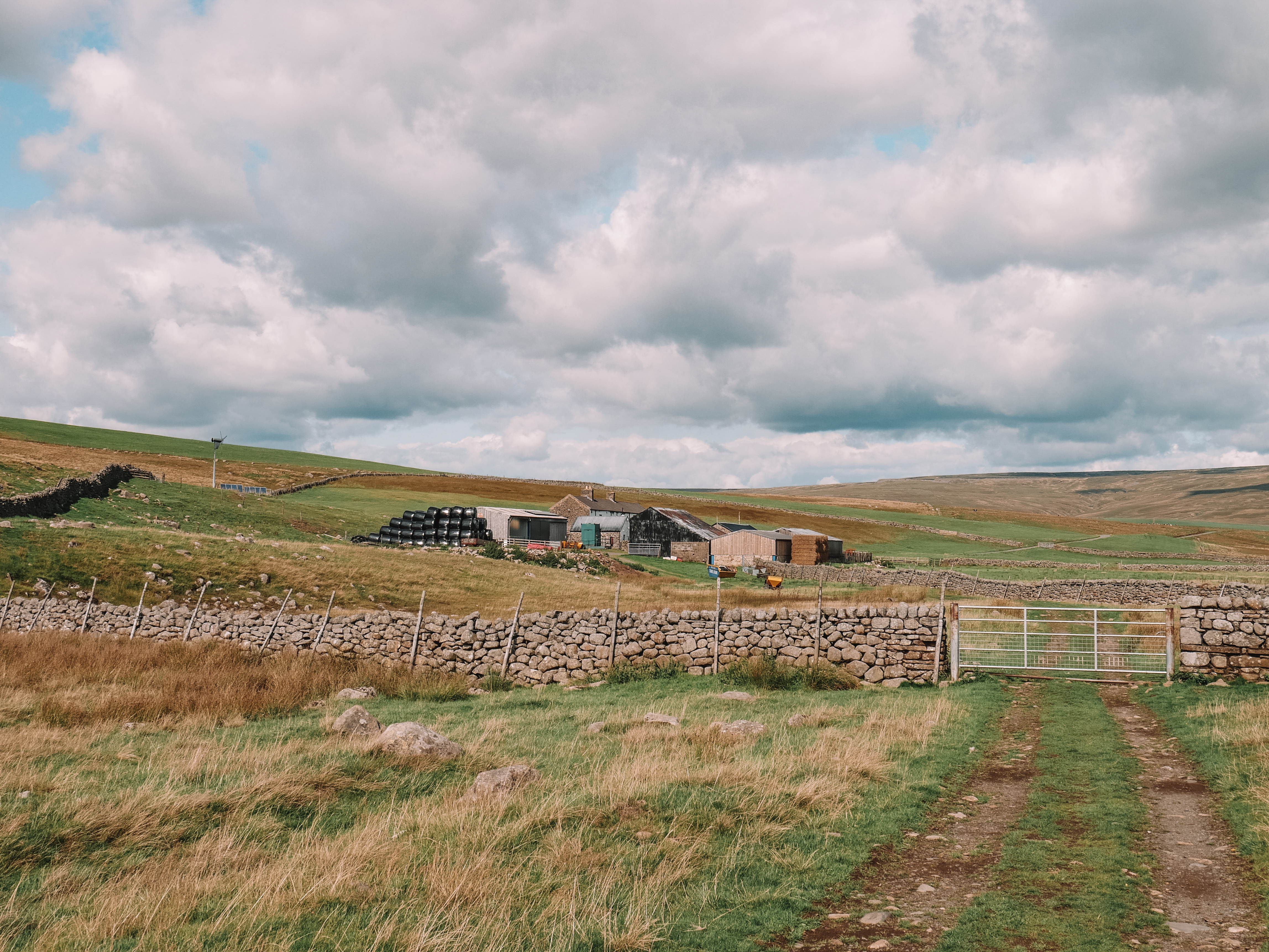
Keep on following on the path through the bottom of a valley, following the river on your right-hand side, to you reach a gate. Cross through the gate and head towards the farmhouse.

4.
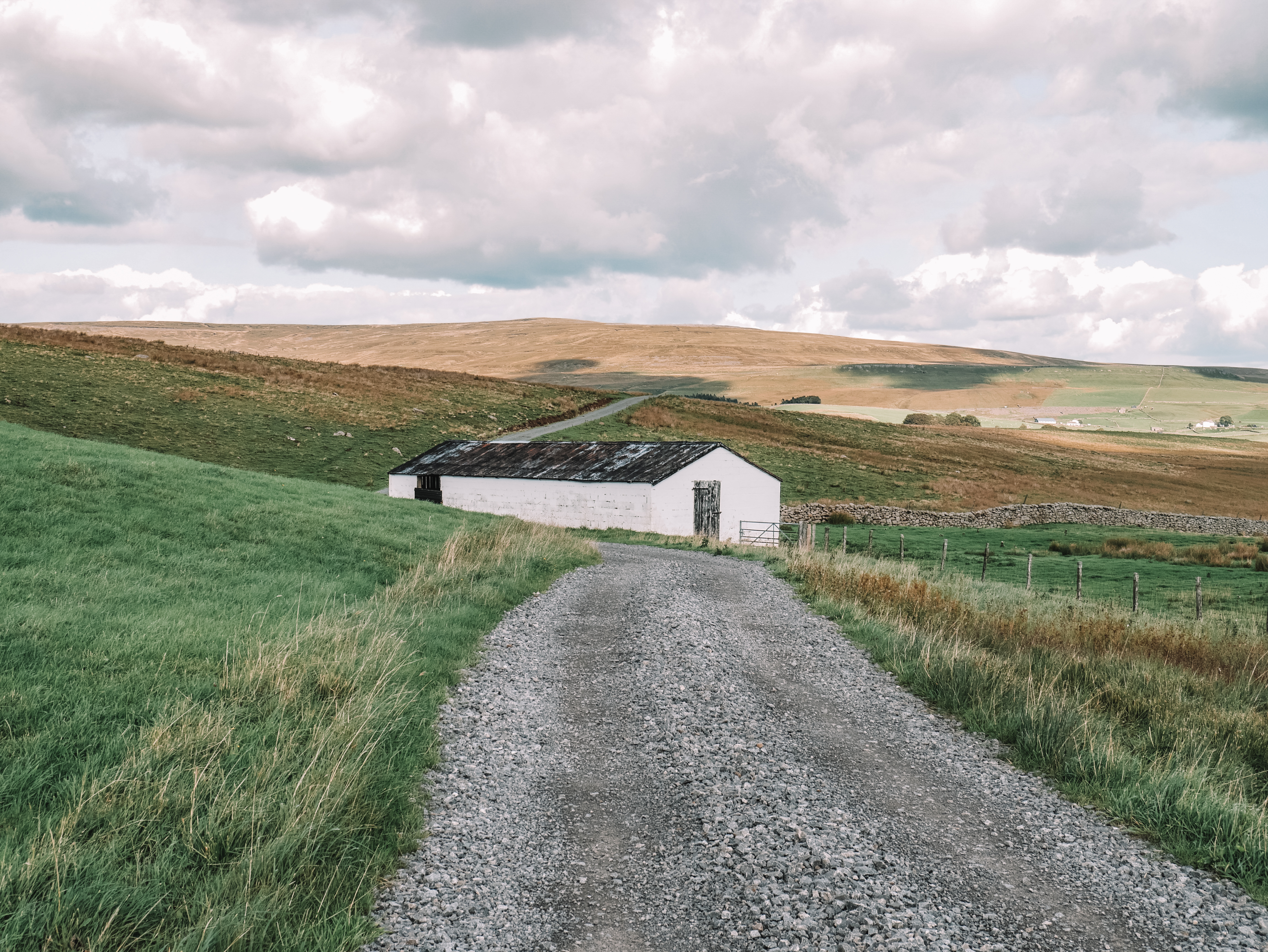
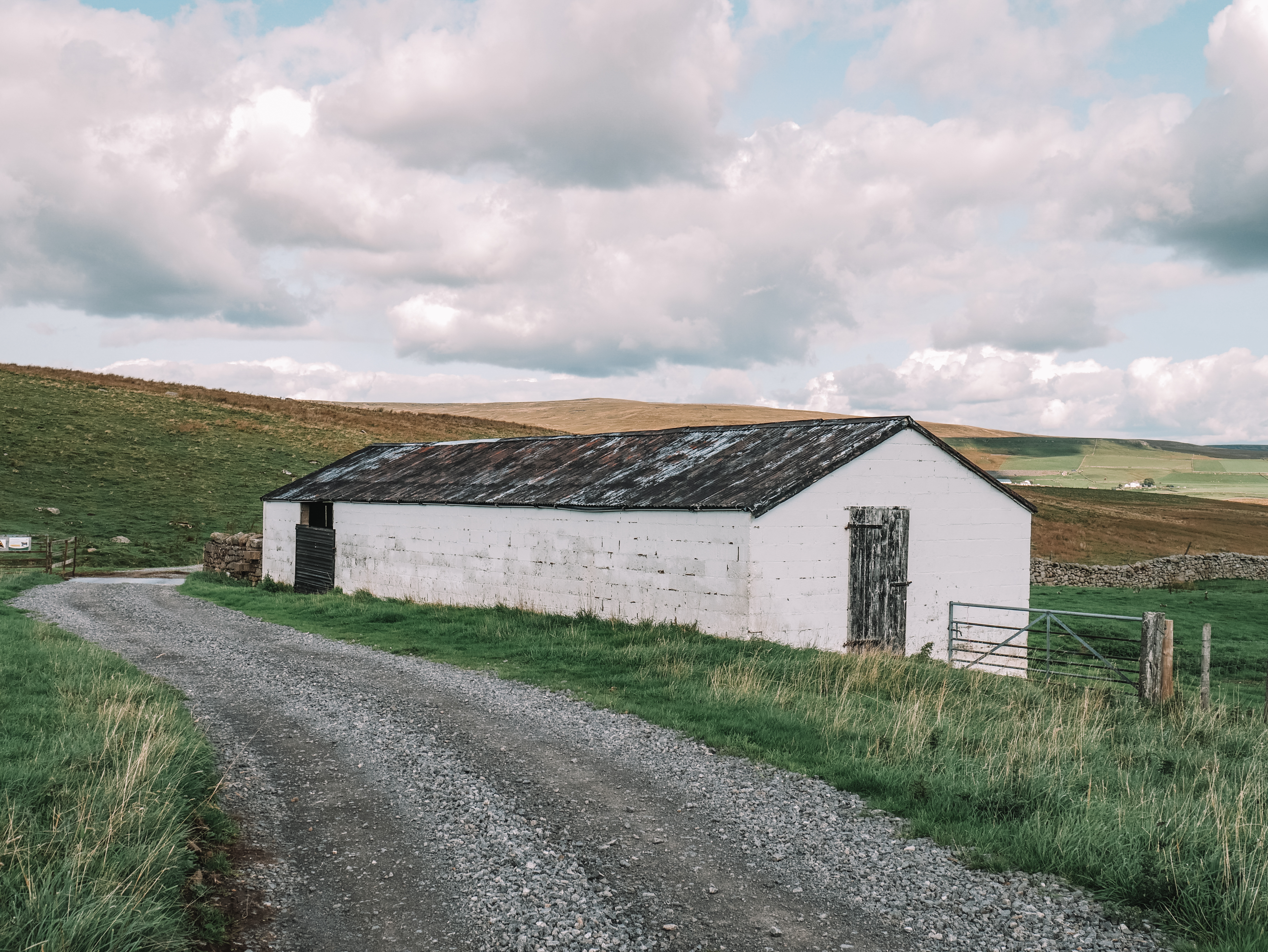
Passing through the farmhouse, you then follow the track which winds through a couple of farmers fields until you reach the road. At the time I walked this route, the fields were full of grazing cows.
5.
At the road junction, turn left and follow the road up, back to the car park where you started the walk.

[huge_it_videogallery id=”20″
For more walks in England, check out some of my other walking guides: